Gamtoos
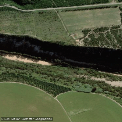
Gamtoos
- Boat Ramps
- 0
- Access Points
- 0
- Campsites
- 4
The Gamtoos River is located in the Eastern Cape Province of South Africa, formed by the confluence of the Kouga River and the Groot River at an elevation of approximately 90 metres. The river system also incorporates the Baviaanskloof River as a tributary of the Kouga. The total length of the river system is approximately 645 kilometres, with a catchment area of 34,635 square kilometres. The river flows into the Indian Ocean at St. Francis Bay, with its mouth situated between Port Elizabeth and Jeffreys Bay.
Kayaking is an established activity on the Gamtoos, with organised day trips available from the Jeffreys Bay area. One operator runs private kayaking excursions that include access to the Wacky Woods Riverside Resort, which offers poolside facilities alongside the river experience. The Gamtoos Ferry Hotel operates a boat launch pad open daily from 09:00 to 16:00, providing access for paddlers and boaters. Parking for vehicles and trailers at the hotel's grounds carries a fee, reported at around R170 per day, though the slipway itself is noted as a public facility. Paddlers using the slipway should be aware that the concrete wall at the launch site has been reported to cause hull damage to boats, and there is also a noted hole in the slipway surface that presents a practical hazard.
The river has been subject to significant flood events, which have resulted in structural damage along its banks and the formation of new sandbanks. These flood-related changes to the river's character and navigable features are worth factoring into trip planning, as sandbank positions and channel configurations may shift over time. The river's lower reaches near the mouth, where the R102 and N2 road bridges cross, provide a recognisable landmark for paddlers navigating the tidal section. The Gamtoos 1000 appears to be an organised paddling event associated with the river, suggesting an established paddling community in the area.
Water access, boat ramps & amenities
Learn how to get on Gamtoos. Uncover great paddling access points, boat ramps, and all the facilities you need for an unforgettable day on the water. Some locations shown may border or include private property. Always check property boundaries and applicable regulations before visiting. PaddleWays's Public & Private Land layer can help you plan your access with confidence.
Paddle smarter with real-time insights
Whether you're en route and conditions shift or you're looking for the best spot based on current flows, we enable you to make informed decisions on the fly.







Eastern Cape licenses and regulations

Find Places to Paddle

Over 400,000 Places to Paddle
Every user gets free access to launch points, boat ramps, and public property parcels.


Water and weather conditions (10 day forecast)
See the best times to paddle Gamtoos and check the forecast before you go.
No forecast data available.
Paddling near Gamtoos
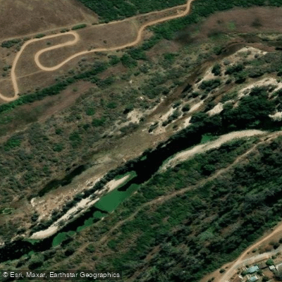
Swartkops
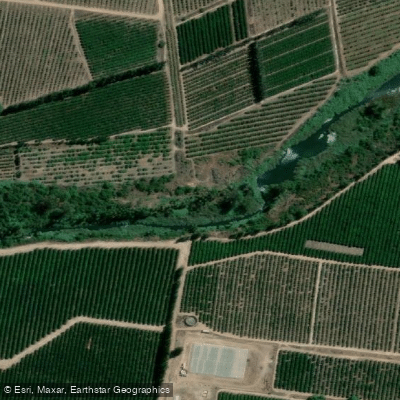
Sondags
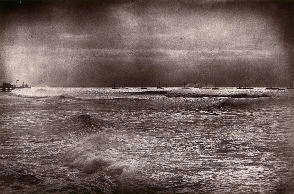
Algoa Bay
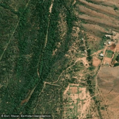
Groot
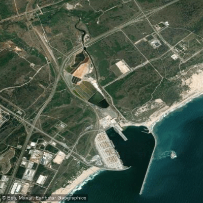
Coega (Ngqurha)
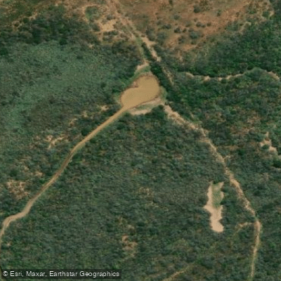
Kariega
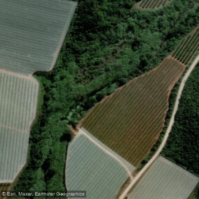
Klein
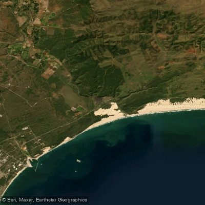
Sundays
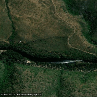
Kouga
Explore Eastern Cape waters
Top paddling waters
No waters available right now.
Popular Cities
Loading popular cities...
Explore near Gamtoos

Smarter Paddling Starts in the App.
Paddleways gives you everything you need to plan smarter, paddle better, and own every trip from first launch to takeout.