Liebenbergsvlei
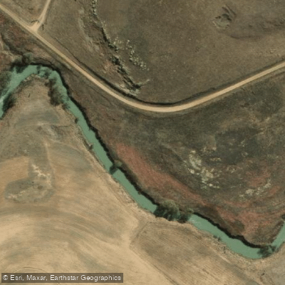
Liebenbergsvlei
- Boat Ramps
- 0
- Access Points
- 0
- Campsites
- 0
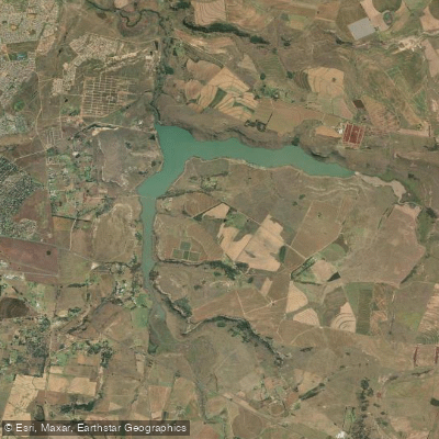
The Liebenbergsvlei River is a northward-flowing tributary of the Wilge River in the eastern Free State Province of South Africa, draining a basin of approximately 4,625 square kilometres at elevations around 1,500 metres above sea level. Its hydrology is significantly augmented by the Lesotho Highlands Water Project, which channels water from Lesotho into the Ash River near Clarens, feeding into the Saulspoort Dam and then the Liebenbergsvlei before the water ultimately reaches the Vaal Dam. This augmentation means the river can carry very cold water — effectively snowmelt — for several months of the year.
The primary paddling section runs approximately 45 km, graded 1 to 2, with the put-in at the river's crossing with the R26 and the take-out near Daniëlsrus, turning west onto the S595 towards Mosbank. The character of this section is narrow with mostly flat, continuous flow, though willow trees frequently form obstacles requiring careful navigation. Most tree blockages have a sneak line, but the strong current and steep banks can push paddlers into tight spots. The river is deep in places. K1 kayaks are the recommended craft, and no permits are required.
The first notable rapid, Skelmbos (class 2), appears approximately 9 km from the put-in. Willows obscure it, and paddlers must veer sharply right about 20 metres before the drop to avoid overhanging branches. The best line through the 4-metre-wide fast drop is centre, to avoid the suckback. Roughly 30 minutes downstream are tree blocks that can be portaged on either side. The middle 18 km consists of smooth, moderate-flowing stretches through willow forests, with a fourth bridge and an abandoned bridge that may require portaging at high water. Approximately 3 km before the take-out, a broken low-level bridge creates a class 2 rapid; submerged pipes present a suction hazard here, and the approach from the left is complicated by trees. The total duration is typically 4 to 6 hours.
An annual two-day canoe race, the Clean Water Challenge (also called the Liebenbergsvlei River Race), covers roughly 70 km starting near Reitz, with the first stage ending at Zorgvliet farm near Tweeling and the second stage finishing at Frankfort. The event is organised by the Dabulamanzi Canoe Club and endorsed by the Gauteng Canoe Union, typically held in September. Paddlers on the race section encounter wave trains, rocky shelves, weirs, and rock-studded downhills in addition to the willow obstacles characteristic of the broader river.
Water access, boat ramps & amenities
Learn how to get on Liebenbergsvlei. Uncover great paddling access points, boat ramps, and all the facilities you need for an unforgettable day on the water. Some locations shown may border or include private property. Always check property boundaries and applicable regulations before visiting. PaddleWays's Public & Private Land layer can help you plan your access with confidence.
Paddle smarter with real-time insights
Whether you're en route and conditions shift or you're looking for the best spot based on current flows, we enable you to make informed decisions on the fly.








Find Places to Paddle

Over 400,000 Places to Paddle
Every user gets free access to launch points, boat ramps, and public property parcels.


Water and weather conditions (10 day forecast)
See the best times to paddle Liebenbergsvlei and check the forecast before you go.
C8H020
All Flow Stations
Paddling near Liebenbergsvlei
Caledon
Wilge
Sol Plaatjie (Saulspoort) Dam
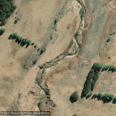
Swartspruit
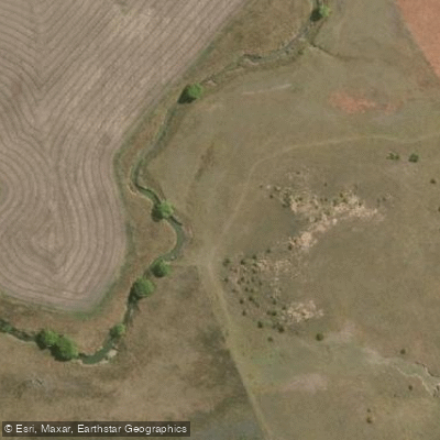
Meulspruit
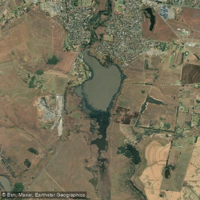
Loch Athlone
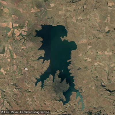
Sterkfontein
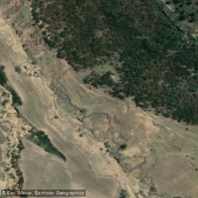
Mofogoi
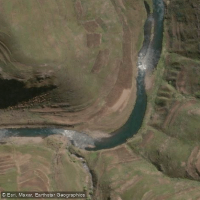
Malibamatso
Explore Free State waters
Top paddling waters
No waters available right now.
Popular Cities
Loading popular cities...
Explore near Liebenbergsvlei
Nearby waters
More in Free State

Smarter Paddling Starts in the App.
Paddleways gives you everything you need to plan smarter, paddle better, and own every trip from first launch to takeout.