Brandvlei Dam
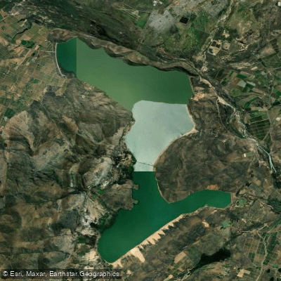
Brandvlei Dam
- Boat Ramps
- 0
- Access Points
- 0
- Campsites
- 1
Greater Brandvlei Dam sits near Worcester in the Western Cape, formed by the joining of the original Brandvlei Dam (Lake Marais) and the adjacent Kwaggaskloof Dam following reconstruction in 1989. The reservoir covers approximately 4,110 hectares with a total storage capacity of around 459 million cubic metres, making it one of the larger inland water bodies in the Western Cape. The surrounding landscape includes mountains and vineyards, and the dam's primary purpose is irrigation for the Breede River valley's agricultural region. When water levels are low, an earthen wall becomes visible separating the two original dam basins.
The two main access points for paddlers are the Worcester Yacht Club (WYC) and the Queenspark Watersport Club (QWC), both of which permit non-members to access the dam. WYC also offers accommodation for non-members. Both clubs maintain strict safety rules for launching, and vessels must carry the required documentation, including a Buoyancy Certificate, which must be presented before launching — non-compliant boats will not be permitted on the water. During the summer season, WYC operates a rescue team on duty for watersport participants. Kite surfing access is also available through Tierkloof 4x4, an adjacent camping facility.
Kayaking and canoeing are explicitly listed among the permitted activities on the dam, alongside sailing, windsurfing, and recreational boating. The dam's expansive surface and generally calm conditions suit a range of paddling styles. The Worcester Yacht Club organises sailing regattas and events, which paddlers should be aware of when planning visits. Jet skis are restricted to campers staying more than two nights, which helps limit motorised traffic for day-use paddlers.
Anglers frequent the dam for carp, smallmouth bass, largemouth bass, Cape Witfish, and Gilcristela, with the dam reportedly considered one of the best smallmouth bass fishing areas in the country. A freshwater angling licence from CapeNature is required for fishing. Illegal access to the dam does occur via private roads and adjacent properties, which can result in unregistered or unsafe vessels on the water — a consideration for paddlers assessing on-water conditions. No formalised hiking trails exist around the shoreline, though people do walk the area informally.
Water access, boat ramps & amenities
Learn how to get on Brandvlei Dam. Uncover great paddling access points, boat ramps, and all the facilities you need for an unforgettable day on the water. Some locations shown may border or include private property. Always check property boundaries and applicable regulations before visiting. PaddleWays's Public & Private Land layer can help you plan your access with confidence.
Paddle smarter with real-time insights
Whether you're en route and conditions shift or you're looking for the best spot based on current flows, we enable you to make informed decisions on the fly.







Western Cape licenses and regulations

Find Places to Paddle

Over 400,000 Places to Paddle
Every user gets free access to launch points, boat ramps, and public property parcels.


Water and weather conditions (10 day forecast)
See the best times to paddle Brandvlei Dam and check the forecast before you go.
Canal From Brandvlei Dam Basin @ Die Nekkies
All Flow Stations
Paddling near Brandvlei Dam
Holsloot
Bot/Kleinmond
Berg
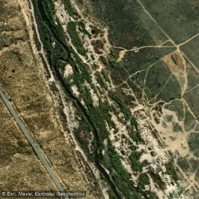
Olifants
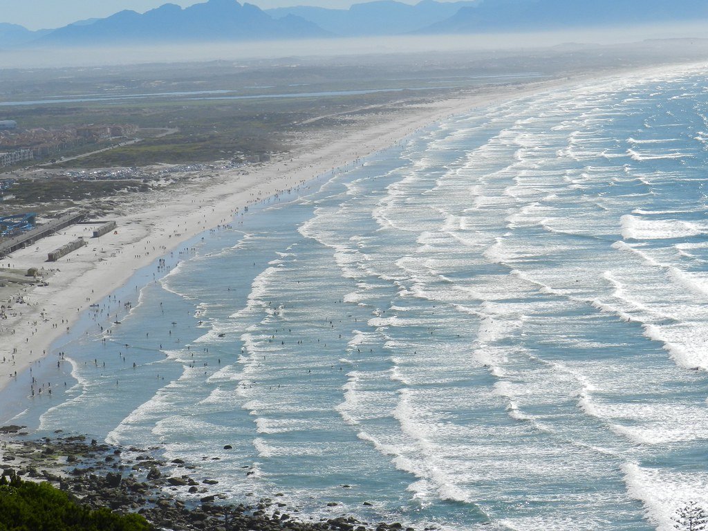
False Bay
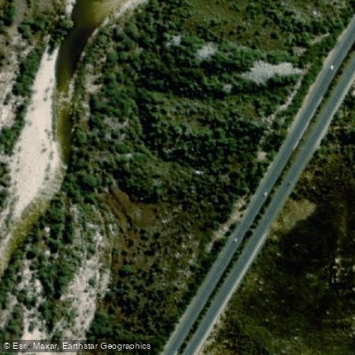
Molenaars
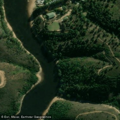
Palmiet
Lourens
Touws
Explore Western Cape waters
Top paddling waters
No waters available right now.
Popular Cities
Loading popular cities...
Explore near Brandvlei Dam
Access points
More in Western Cape

Smarter Paddling Starts in the App.
Paddleways gives you everything you need to plan smarter, paddle better, and own every trip from first launch to takeout.