Gourits
Gourits
- Boat Ramps
- 1
- Access Points
- 0
- Campsites
- 0
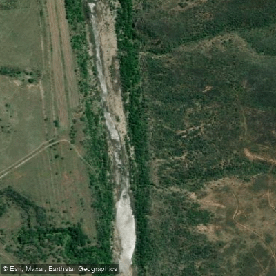
The Gouritz River (also spelled Gourits) flows through the Little Karoo and Southern Cape region of South Africa, eventually meeting the Indian Ocean at the small coastal town of Gouritsmond, situated between Still Bay and Mossel Bay. The river is formed by the confluence of the Gamka and Olifants rivers near Herbertsdale, and offers several distinct paddling sections ranging from Grade 2 to Grade 4.
A popular one-day section runs from Cloete's Pass, accessed via a dirt road on the far side of Herbertsdale, to a tar road bridge close to Herbertsdale. This stretch is rated Grade 3–4 and features high-volume rapids and play waves, making it well suited to a playboat. Portages are straightforward, allowing paddlers to re-run rapids multiple times. While the section can be completed in roughly an hour if paddled straight through, a half-day is recommended to make the most of the drive out. Camping is available near the largest rapid on this section.
A multi-day option involves paddling the Olifants Gorge into the Gouritz, starting at the Calitzdorp Spa bridge over the Olifants River. This Grade 2–3 route passes through dramatic gorge scenery before the river opens up at its confluence with the Gamka, and can be completed in approximately two days to the Herbertsdale tar road bridge. The scenery throughout this corridor is described as breathtaking, with the gorge character similar to the upper Gamka section through the Swartberg mountains.
The river supports a variety of fish species including smallmouth yellowfish, Mozambique tilapia, banded tilapia, smallmouth bass, largemouth bass, and bluegill. Wildlife along the river includes fish eagles, kingfishers, and klipspringer. The upper reaches of the river are relatively narrow with rocks, logs, and sticks presenting obstacles in the channel.
At Gouritsmond, the river mouth is used for fishing, boat skiing, and canoeing, and the broader coastline offers surfing and whale watching, particularly from June to November.
Water access, boat ramps & amenities
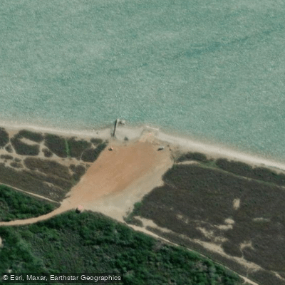
Learn how to get on Gourits. Uncover great paddling access points, boat ramps, and all the facilities you need for an unforgettable day on the water. Some locations shown may border or include private property. Always check property boundaries and applicable regulations before visiting. PaddleWays's Public & Private Land layer can help you plan your access with confidence.
Paddle smarter with real-time insights
Whether you're en route and conditions shift or you're looking for the best spot based on current flows, we enable you to make informed decisions on the fly.







Western Cape licenses and regulations

Find Places to Paddle

Over 400,000 Places to Paddle
Every user gets free access to launch points, boat ramps, and public property parcels.


Water and weather conditions (10 day forecast)
See the best times to paddle Gourits and check the forecast before you go.
No forecast data available.
Paddling near Gourits
Kaaimans
Hartenbos
Touws
Groot Brak
Diaz
Moordkuil
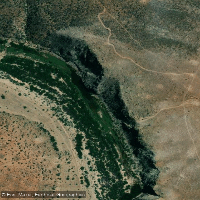
Groot
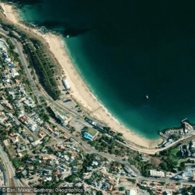
Madiba Beach (former Santos Beach)
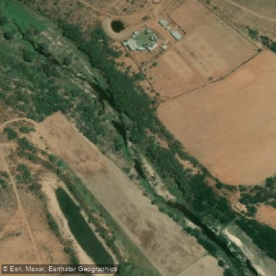
Doring
Explore Western Cape waters
Top paddling waters
No waters available right now.
Popular Cities
Loading popular cities...
Explore near Gourits
Access points
Nearby waters
More in Western Cape

Smarter Paddling Starts in the App.
Paddleways gives you everything you need to plan smarter, paddle better, and own every trip from first launch to takeout.