Groot Brak
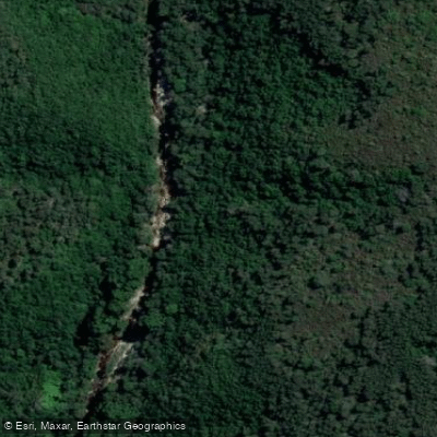
Groot Brak
- Boat Ramps
- 1
- Access Points
- 0
- Campsites
- 0
The Groot Brak River (also known as Great Brak River) is a coastal estuary located approximately 30 km from George in the Western Cape, within the Mossel Bay local municipality. The river forms a lagoon around the historic village of Groot Brak and is classified as a mostly-closed estuary, meaning the river mouth to the sea is managed rather than freely open. The Wolwedans Dam, built upstream in the 1990s, has reduced the volume of fresh water reaching the estuary, and additional factors including agriculture, alien vegetation, and small farm dams upstream have contributed to ongoing environmental pressures. Occasional sewerage intrusions have been noted as a water quality concern.
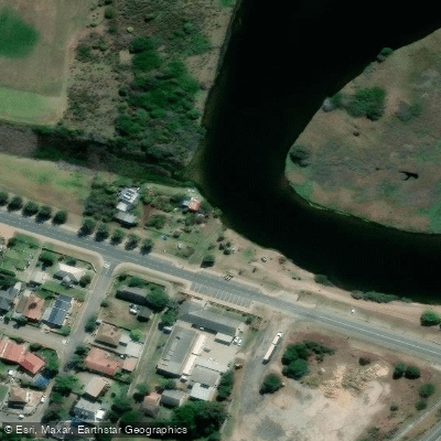
The paddling route runs from the river mouth upstream for approximately 4.6 km, ending at a low-level bridge. The water is flat throughout, with no elevation gain, and is rated easy in terms of perceived exertion. The starting point is a large parking area at the beach on Southern Cross Road (coordinates: -34.055786880, 22.235796968), which is the only noted facility at the launch site. The route is unmarked. A typical paddling speed of around 4 km/h means the one-way trip takes roughly 25 minutes, with the full out-and-back taking approximately one hour.
The water in the estuary and river has been described as crystal clear, with submerged aquatic vegetation visible from the surface. The river passes through a mix of open estuary and narrower, more enclosed channel sections closer to the upstream limit. Paddlers should be aware that afternoon headwinds are common on the return leg, particularly when paddling back toward the mouth.
Birdlife is notably abundant along the route. Species observed include fish eagles, egrets, spotted dikkops, cranes, and southern red bishops, which nest in the reeds along the riverbanks near the village. Fish are frequently visible in the shallows.
Canoe and kayak hire has been available in the area through local accommodation providers, though paddlers should confirm current availability before visiting. The route is suitable for both single and double kayaks. No specific paddling restrictions or regulations apply to this waterway.
Water access, boat ramps & amenities
Learn how to get on Groot Brak. Uncover great paddling access points, boat ramps, and all the facilities you need for an unforgettable day on the water. Some locations shown may border or include private property. Always check property boundaries and applicable regulations before visiting. PaddleWays's Public & Private Land layer can help you plan your access with confidence.
Paddle smarter with real-time insights
Whether you're en route and conditions shift or you're looking for the best spot based on current flows, we enable you to make informed decisions on the fly.







Western Cape licenses and regulations

Find Places to Paddle

Over 400,000 Places to Paddle
Every user gets free access to launch points, boat ramps, and public property parcels.


Water and weather conditions (10 day forecast)
See the best times to paddle Groot Brak and check the forecast before you go.
Great-Brak River @ Wolvedans
All Flow Stations
Paddling near Groot Brak
Gourits
Kaaimans
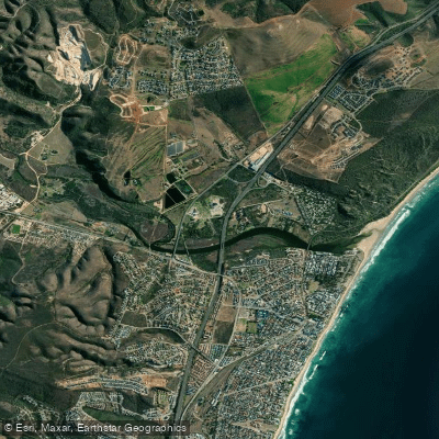
Hartenbos
Touws
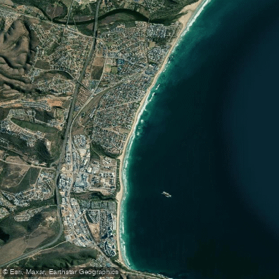
Diaz
Moordkuil
Groot
Madiba Beach (former Santos Beach)
Doring
Explore Western Cape waters
Top paddling waters
No waters available right now.
Popular Cities
Loading popular cities...
Explore near Groot Brak
Access points
Nearby waters
More in Western Cape

Smarter Paddling Starts in the App.
Paddleways gives you everything you need to plan smarter, paddle better, and own every trip from first launch to takeout.