Groot
Groot
- Boat Ramps
- 0
- Access Points
- 0
- Campsites
- 0
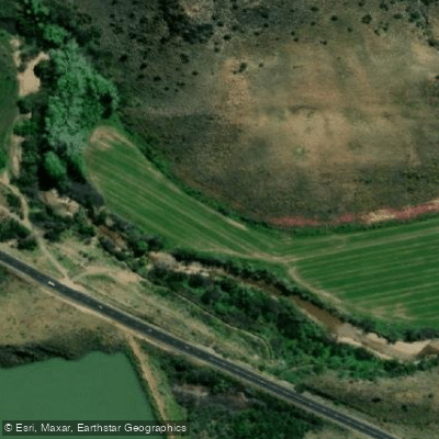
The Groot River, most commonly referred to by paddlers as Meiringspoort, runs through the Swartberg State Forest in South Africa. The section typically paddled covers approximately 15 kilometres and takes between four and five hours to complete. It is graded at Class 3 and is characterized as boulder-strewn and fairly continuous, making for a technical run that demands attentive paddling throughout.
The put-in is located at a bridge where the road crosses the river near the northern boundary of the Swartberg State Forest, and the take-out is at a corresponding bridge near the southern boundary. No permits are required to paddle this section, and the river is not dam-controlled, meaning flow is entirely dependent on natural rainfall.
Water levels are the primary planning consideration for this river. The Groot runs too low to paddle the majority of the time and is only viable after significant rainfall in the area. As a result, it is predominantly paddled by local paddlers who can monitor conditions closely. There is no fixed season that guarantees adequate water.
The boulder-strewn character of the river creates technical interest but also introduces specific hazards. At higher water levels, paddlers should watch carefully for pour-overs, and siphons or undercuts may be present throughout the run. The road crosses the river at multiple bridges along the route, each of which presents its own considerations. It is strongly recommended to have the shuttle driver wait at each bridge to advise on the best line through and to flag potential portages. This coordination between paddlers and shuttle driver is an important safety measure given the nature of the crossings.
The recommended craft for this section is a kayak. Given the technical nature of the run, the hazards associated with high water, and the need for careful navigation at bridge crossings, this is not a trip suited to beginners.
Water access, boat ramps & amenities
Learn how to get on Groot. Uncover great paddling access points, boat ramps, and all the facilities you need for an unforgettable day on the water. Some locations shown may border or include private property. Always check property boundaries and applicable regulations before visiting. PaddleWays's Public & Private Land layer can help you plan your access with confidence.
Paddle smarter with real-time insights
Whether you're en route and conditions shift or you're looking for the best spot based on current flows, we enable you to make informed decisions on the fly.







Western Cape licenses and regulations

Find Places to Paddle

Over 400,000 Places to Paddle
Every user gets free access to launch points, boat ramps, and public property parcels.


Water and weather conditions (10 day forecast)
See the best times to paddle Groot and check the forecast before you go.
No forecast data available.
Paddling near Groot
Olifants
Doring
Klein Brak
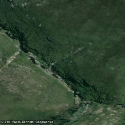
Kaaimans
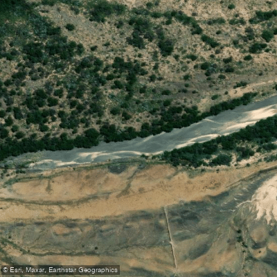
Gamka
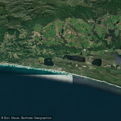
Touw/Wilderness
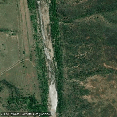
Gourits
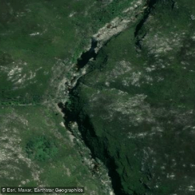
Touws
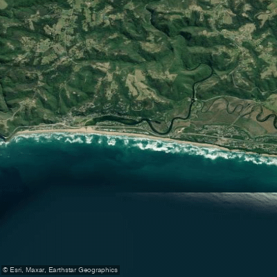
Wilderness Beach
Explore Western Cape waters
Top paddling waters
No waters available right now.
Popular Cities
Loading popular cities...
Explore near Groot
More in Western Cape

Smarter Paddling Starts in the App.
Paddleways gives you everything you need to plan smarter, paddle better, and own every trip from first launch to takeout.