Krom
Krom
- Boat Ramps
- 0
- Access Points
- 0
- Campsites
- 0
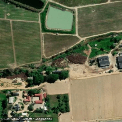
The Krom River (also known as Krommerivier, from the Afrikaans word for "curve") is a natural estuary in the Eastern Cape Province of South Africa. Rising in the Tsitsikamma Mountains at approximately 800 metres elevation, the river runs roughly 109 kilometres in an east-southeast direction before emptying into the Indian Ocean through an estuary on the north side of St Francis Bay, west of Port Elizabeth. Its catchment area covers approximately 1,085 square kilometres. The Churchill Dam and the Impofu Dam — the latter located near Humansdorp — are both situated on the river.
The lower reaches near St Francis Bay are the primary area of interest for paddlers. The river here is a tidal estuary, meaning water levels and currents are influenced by the tides. The river mouth can be dangerous, with tidal currents creating turbulent conditions that have been described locally as "washing machine water." Paddlers considering sea access via the river mouth should only attempt this when conditions are safe and with appropriate equipment.
There are two main launch options near St Francis Bay. One is beneath the bridge on the road into St Francis, which is accessible regardless of tide but has been noted as a less straightforward launch. The other is a formal slipway within the St Francis Canals harbour, which is well-signed from the town. A small launch fee applies at the canal slipway, and permits are typically inspected there. Importantly, separate permits are required for the Krom River and for the St Francis Canals — paddlers planning to use both waterways need both permits.
The estuary offers a mix of kayaking, fishing, and general cruising. Grunter, kob, and garrick are among the fish species sought in these waters. Accommodation options along the river include riverside properties that provide kayaks and stand-up paddleboards for guest use, with mooring space available for those arriving by boat.
There is also a separate Krom River near Greyton in the Western Cape, which is a much smaller, shallower waterway suitable for wading and small inflatable canoes. Paddlers should not confuse the two — the Eastern Cape estuary near St Francis Bay is a substantially larger and more complex waterway requiring greater preparation.
Water access, boat ramps & amenities
Learn how to get on Krom. Uncover great paddling access points, boat ramps, and all the facilities you need for an unforgettable day on the water. Some locations shown may border or include private property. Always check property boundaries and applicable regulations before visiting. PaddleWays's Public & Private Land layer can help you plan your access with confidence.
Paddle smarter with real-time insights
Whether you're en route and conditions shift or you're looking for the best spot based on current flows, we enable you to make informed decisions on the fly.







Western Cape licenses and regulations

Find Places to Paddle

Over 400,000 Places to Paddle
Every user gets free access to launch points, boat ramps, and public property parcels.


Water and weather conditions (10 day forecast)
See the best times to paddle Krom and check the forecast before you go.
No forecast data available.
Paddling near Krom
Berg
Eerste
False Bay
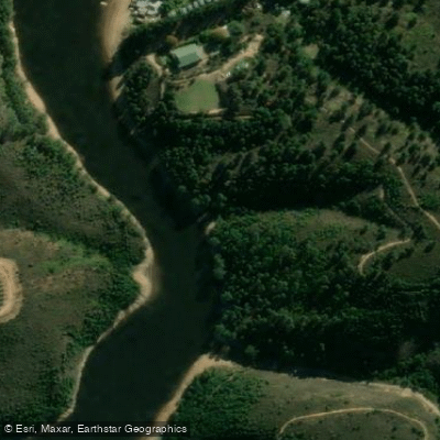
Palmiet
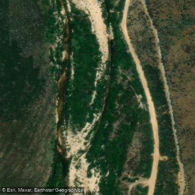
Holsloot
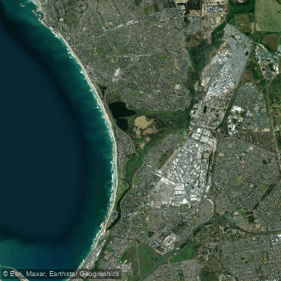
Diep/Rietvlei
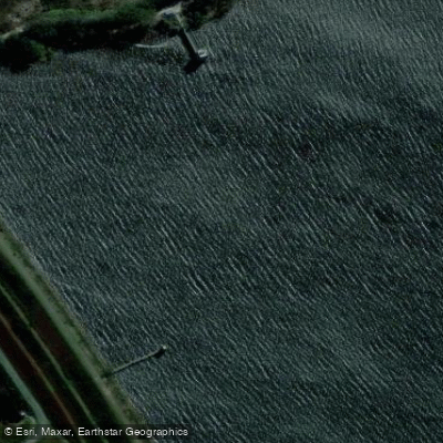
Steenbras
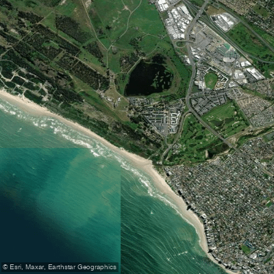
Lourens
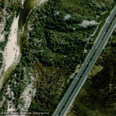
Molenaars
Explore Western Cape waters
Top paddling waters
No waters available right now.
Popular Cities
Loading popular cities...
Explore near Krom
Access points
More in Western Cape

Smarter Paddling Starts in the App.
Paddleways gives you everything you need to plan smarter, paddle better, and own every trip from first launch to takeout.