Playa Accesible Paula Gasco Owens
- Saltwater
- Beach
- Coast

Playa Accesible Paula Gasco Owens
- Saltwater
- Beach
- Coast
- Boat Ramps
- 0
- Access Points
- 0
Playa Accesible Paula Gasco Owens is an accessible beach located in the coastal city of Mar del Plata, within the province of Buenos Aires, Argentina. The beach is situated along a roughly 25-kilometer stretch of coastline between Parque Camet to the north and the Escollera Norte (North Breakwater) of the city's port area to the south. This lengthy coastal corridor provides a primary paddling route, with the beach serving as a potential launch or landing point. The area near the Escollera Norte is adjacent to the Reserva Natural Puerto Mar del Plata, a natural reserve, which may offer sights of interest for paddlers exploring the nearshore waters. As a beach on the open Atlantic coast, paddlers should anticipate exposure to wind, waves, and swell, which can create significant shore break and challenging launch/landing conditions depending on the weather. The beach's designation as "accesible" indicates it is designed for accessibility, which typically suggests facilities like ramps or matting that may ease the carry distance from parking to the water's edge for launching paddlecraft. Specific details on seasonal water temperatures, water quality, exact facilities, regulations, or hazards are not detailed, so paddlers must consult local marine forecasts and authorities for current conditions and rules before embarking.
Hazards
Hazards on Playa Accesible Paula Gasco Owens
No hazards are marked on Playa Accesible Paula Gasco Owens yet. That is not the same as none being there: if you find one, report it for the next paddler.
From the community
Playa Accesible Paula Gasco Owens trip reports
Nobody has shared a trip on Playa Accesible Paula Gasco Owens yet. Paddle it, then tell the next paddler how it went.
Tides, wind & water conditions (10 day forecast)
On open water, wind and tide matter as much as the weather. See the best times to paddle Playa Accesible Paula Gasco Owens and check the marine forecast before you launch.
Loading tide predictions…
Paddle smarter with real-time insights
Live flows, marked hazards and fresh trip reports from paddlers who were just on the water, all in one place.







Find Places to Paddle

Over 400,000 Places to Paddle
Every user gets free access to launch points, boat ramps, and public property parcels.


Buenos Aires licenses and regulations

Paddling near Playa Accesible Paula Gasco Owens
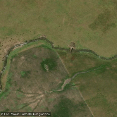
Arroyo Vivoratá
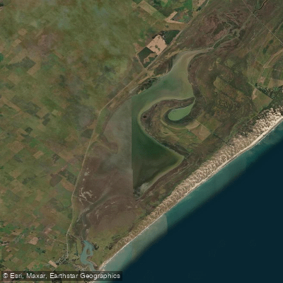
Laguna Mar Chiquita
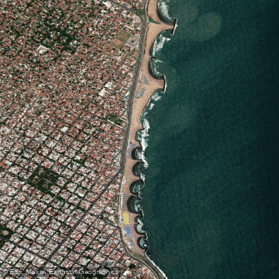
Playa La Perla
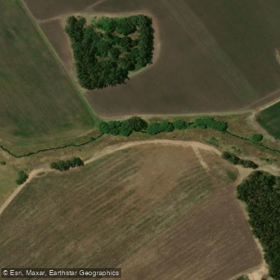
Arroyo El Durazno
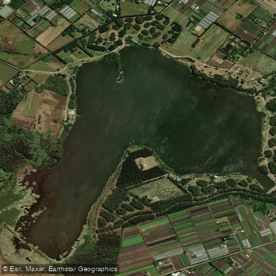
Laguna de los Padres
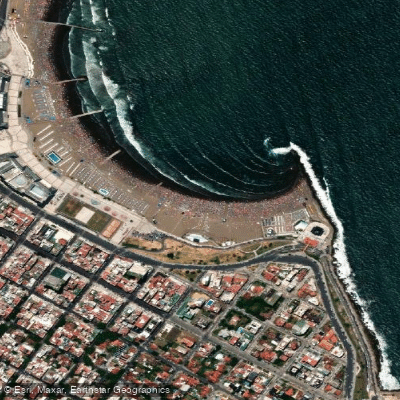
Playa Las Toscas
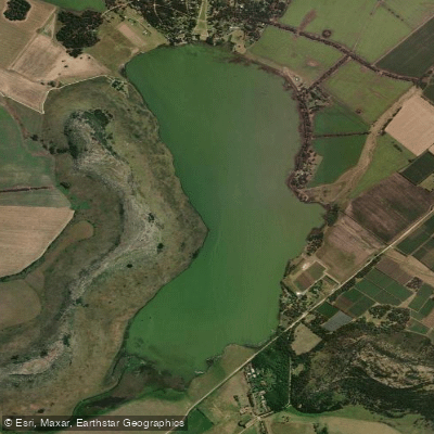
Laguna La Brava
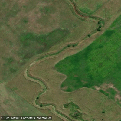
Arroyo del Pescado
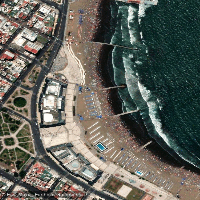
Playa Bristol
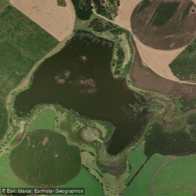
Laguna La Invernada
Explore Buenos Aires waters
Top paddling waters
No waters available right now.
Popular Cities
Loading popular cities...
Explore near Playa Accesible Paula Gasco Owens

Smarter Paddling Starts in the App.
PaddleWays gives you everything you need to plan smarter, paddle better, and own every trip from first launch to takeout.