Río Primero (Suquía)
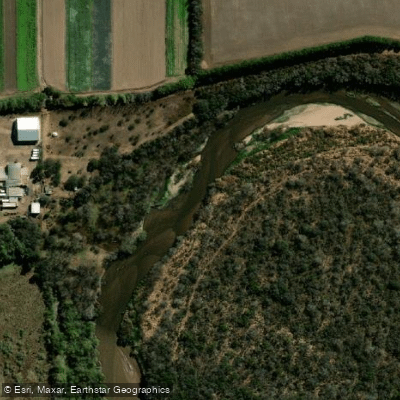
Río Primero (Suquía)
- Boat Ramps
- 0
- Access Points
- 0
- Campsites
- 3
The Río Primero, also known as the Suquía, flows eastward from the San Roque Reservoir near Carlos Paz through the city of Córdoba and continues across the plains before terminating at the southern coast of the Mar Chiquita salt lake. The river covers approximately 200 kilometers in total length and carries an average flow of around 9.7 cubic meters per second, with a recorded minimum of 2 cubic meters per second and a maximum of 24 cubic meters per second. Flow peaks during the summer months.
The river passes directly through the urban center of Córdoba, where it is flanked by paved waterfront pathways on both banks. The stretch between Puente La Tablada and Puente Santa Fe represents one of the most frequented sections within the city. The north bank along Ramón B. Mestre is generally considered to offer better conditions along the waterfront. Parks including Parque Kempes/Parque Chateau and Parque Municipal San Martín line the banks and provide access points. Within the city, the river also passes through a stone-lined channel called La Cañada, completed in 1944, and approximately 2 kilometers east of La Cañada lies Isla de los Patos.
Water pollution is a significant and ongoing concern on the Suquía. Contamination of both the water and the riverbanks has been identified as a major environmental issue in Córdoba, and periodic cleaning operations are conducted to address water quality and support fishing viability. Paddlers should be aware of this context when planning trips, particularly through the urban sections.
Kayaking and rowing are practiced on the river, and fishing is also a common activity along its banks. The river supports a variety of aquatic birdlife, making it of interest for wildlife observation while on the water. The name Suquía originates from the Sanavirones, an indigenous group present in the region before Spanish colonization in the sixteenth century; the Spanish later renamed it Río Primero as it was the first substantial river they encountered traveling south through what is now Córdoba province.
Water access, boat ramps & amenities
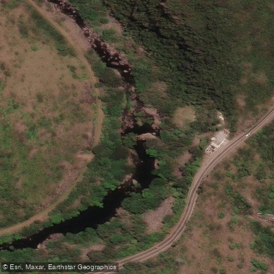
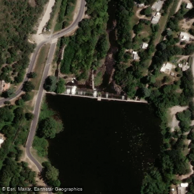
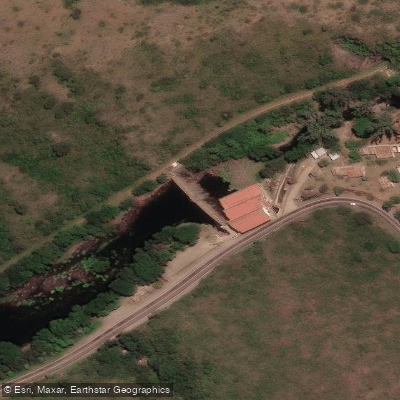
Learn how to get on Río Primero (Suquía). Uncover great paddling access points, boat ramps, and all the facilities you need for an unforgettable day on the water. Some locations shown may border or include private property. Always check property boundaries and applicable regulations before visiting. PaddleWays's Public & Private Land layer can help you plan your access with confidence.
Paddle smarter with real-time insights
Whether you're en route and conditions shift or you're looking for the best spot based on current flows, we enable you to make informed decisions on the fly.







Córdoba licenses and regulations

Find Places to Paddle

Over 400,000 Places to Paddle
Every user gets free access to launch points, boat ramps, and public property parcels.


Water and weather conditions (10 day forecast)
See the best times to paddle Río Primero (Suquía) and check the forecast before you go.
Primero (Suquía) Camino Secund
Paddling near Río Primero (Suquía)
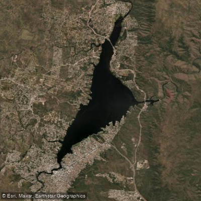
Embalse San Roque
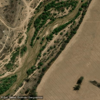
Río Segundo (Xanaes)
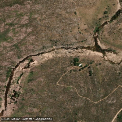
Río Yuspe
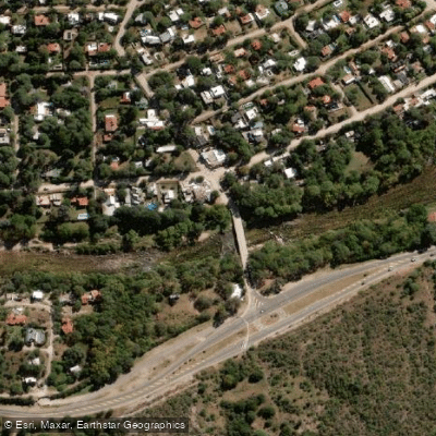
Río Anizacate
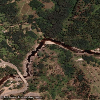
Río de los Reartes
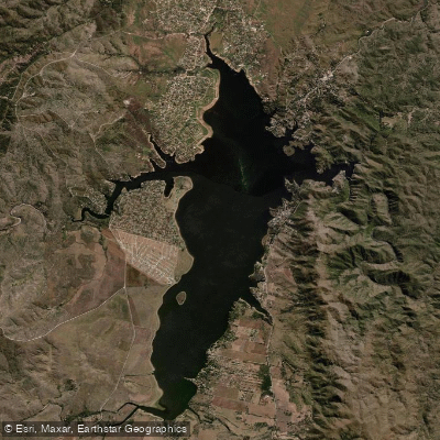
Embalse Los Molinos
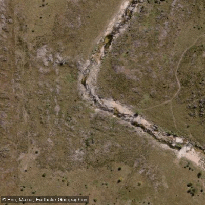
Río de la Suela
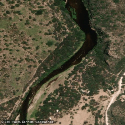
Río Quilipo
Río Chico de Nono
Explore Córdoba waters
Top paddling waters
No waters available right now.
Popular Cities
Loading popular cities...
Explore near Río Primero (Suquía)

Smarter Paddling Starts in the App.
Paddleways gives you everything you need to plan smarter, paddle better, and own every trip from first launch to takeout.