Río Miriguaca
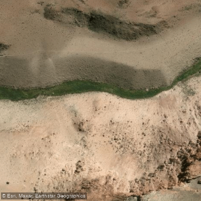
Río Miriguaca
- Boat Ramps
- 0
- Access Points
- 0
- Campsites
- 0
The Río Miriguaca is located in the Antofagasta de la Sierra department of Catamarca, within the southern Puna region of Argentina. The river flows through a significant geographical feature known as the Quebrada del Río Miriguaca, which is a canyon or ravine, sometimes referred to as the Cañón del Río Miriguaca. This setting indicates a watercourse characterized by a deep, narrow valley, suggesting potential for dramatic scenery but also for variable and potentially challenging water flow dependent on seasonal precipitation in this high-altitude desert. The area is remote, accessed via off-road vehicle tracks, such as the route from Campo Las Tobas to the canyon. The region holds substantial archaeological and historical significance, with research documenting human habitation and activity in the quebrada for over 4000 years. Recent archaeological surveys have been conducted in the area, indicating a landscape rich in cultural heritage. The geographical context suggests this is a remote, seasonally-flowing river in a high-altitude canyon environment. Paddlers should prioritize thorough, independent research into current water conditions, land access permissions, and any local regulations before attempting a trip, as the area is primarily documented for archaeological study and rugged overland travel rather than recreational boating.
Water access, boat ramps & amenities
Learn how to get on Río Miriguaca. Uncover great paddling access points, boat ramps, and all the facilities you need for an unforgettable day on the water. Some locations shown may border or include private property. Always check property boundaries and applicable regulations before visiting. PaddleWays's Public & Private Land layer can help you plan your access with confidence.
Paddle smarter with real-time insights
Whether you're en route and conditions shift or you're looking for the best spot based on current flows, we enable you to make informed decisions on the fly.







Catamarca licenses and regulations

Find Places to Paddle

Over 400,000 Places to Paddle
Every user gets free access to launch points, boat ramps, and public property parcels.


Water and weather conditions (10 day forecast)
See the best times to paddle Río Miriguaca and check the forecast before you go.
No forecast data available.
Paddling near Río Miriguaca
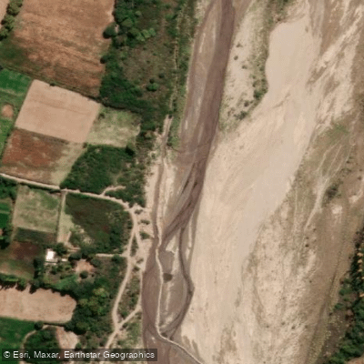
Río Santa María
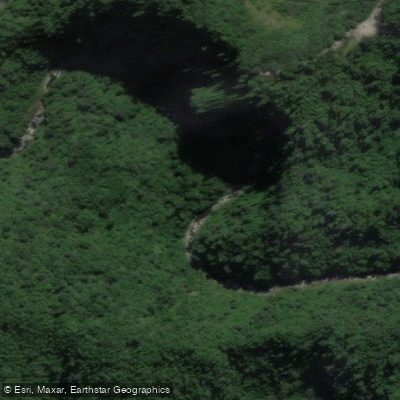
Río Los Sosa
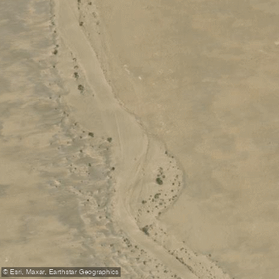
Río El Casadero
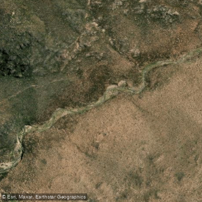
Río Cerro Negro
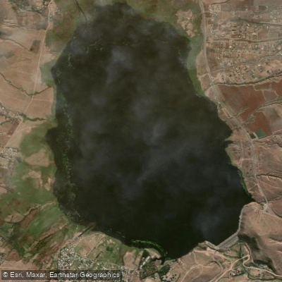
Embalse La Angostura
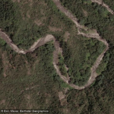
Río Ancajuli
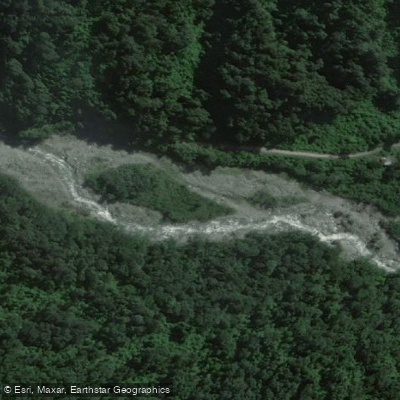
Río Pueblo Viejo
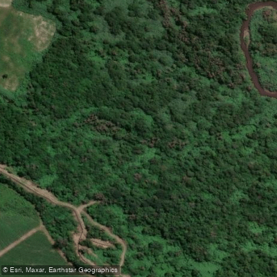
Río Lules
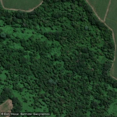
Arroyo Calimayo
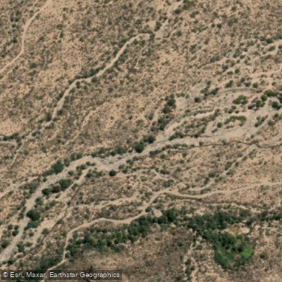
Río Seco
Explore Catamarca waters
Top paddling waters
No waters available right now.
Popular Cities
Loading popular cities...
Explore near Río Miriguaca

Smarter Paddling Starts in the App.
Paddleways gives you everything you need to plan smarter, paddle better, and own every trip from first launch to takeout.