Arroyo Yabebiry
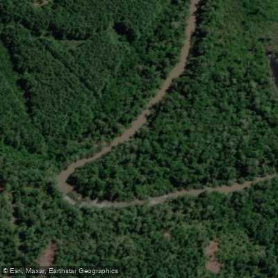
Arroyo Yabebiry
- Boat Ramps
- 0
- Access Points
- 0
- Campsites
- 3
Arroyo Yabebiry is a substantial waterway in Misiones, Argentina, whose name derives from the Guaraní for "river of the rays" (stingrays). It originates in the Sierra de Misiones and flows through the departments of Oberá, San Ignacio, and Candelaria, serving as a natural boundary between them before emptying into the río Paraná. Together with its tributaries, the system totals 130.1 kilometers of waterways and drains a watershed of approximately 1,889 square kilometers.
The lower portion of the arroyo is characterized by well-developed alluvial plains and occasional wetland areas, which receive significant organic input from remnant riparian forest and surrounding vegetation, particularly during flood pulses. This lower section also functions as a nursery habitat for fish populations. The arroyo has been designated both a Reserva Íctica (fish reserve) and an Área Natural Protegida, which may carry specific regulations for activities on the water; paddlers should verify current rules with local authorities before launching.
Several recreational areas exist along the arroyo and near its mouth. The Playita del Sol in Puerto Nuevo and the Club de Río in Paraje Payal are established balnearios (river recreation spots). The Boca del Yabebiry, located within Parque Provincial Teyú Cuaré near San Ignacio, marks the confluence with the río Paraná and provides access to the Isla del Toro. The Ruta Nacional 12 bridge near San Ignacio and Loreto offers a potential reference point for access along the lower reach.
Paddlers should be aware that the lower valley lies within the influence zone of the Yacyretá hydroelectric project, which has the potential to alter water levels and floodplain conditions in that section over time.
Water access, boat ramps & amenities
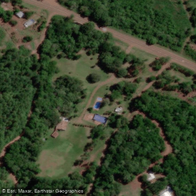
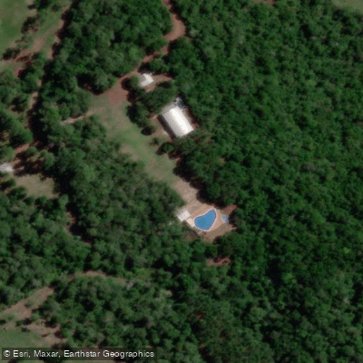
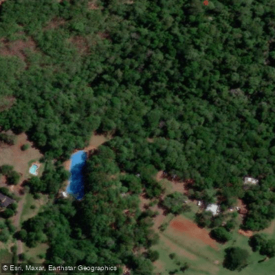
Learn how to get on Arroyo Yabebiry. Uncover great paddling access points, boat ramps, and all the facilities you need for an unforgettable day on the water. Some locations shown may border or include private property. Always check property boundaries and applicable regulations before visiting. PaddleWays's Public & Private Land layer can help you plan your access with confidence.
Paddle smarter with real-time insights
Whether you're en route and conditions shift or you're looking for the best spot based on current flows, we enable you to make informed decisions on the fly.







Misiones licenses and regulations

Find Places to Paddle

Over 400,000 Places to Paddle
Every user gets free access to launch points, boat ramps, and public property parcels.


Water and weather conditions (10 day forecast)
See the best times to paddle Arroyo Yabebiry and check the forecast before you go.
Yabebiry - Colonia Martires
Paddling near Arroyo Yabebiry
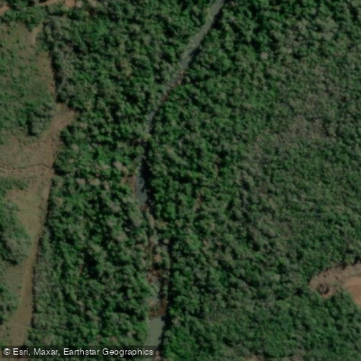
Arroyo Mártires
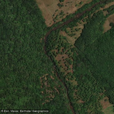
Arroyo Ramón

Río Uruguay
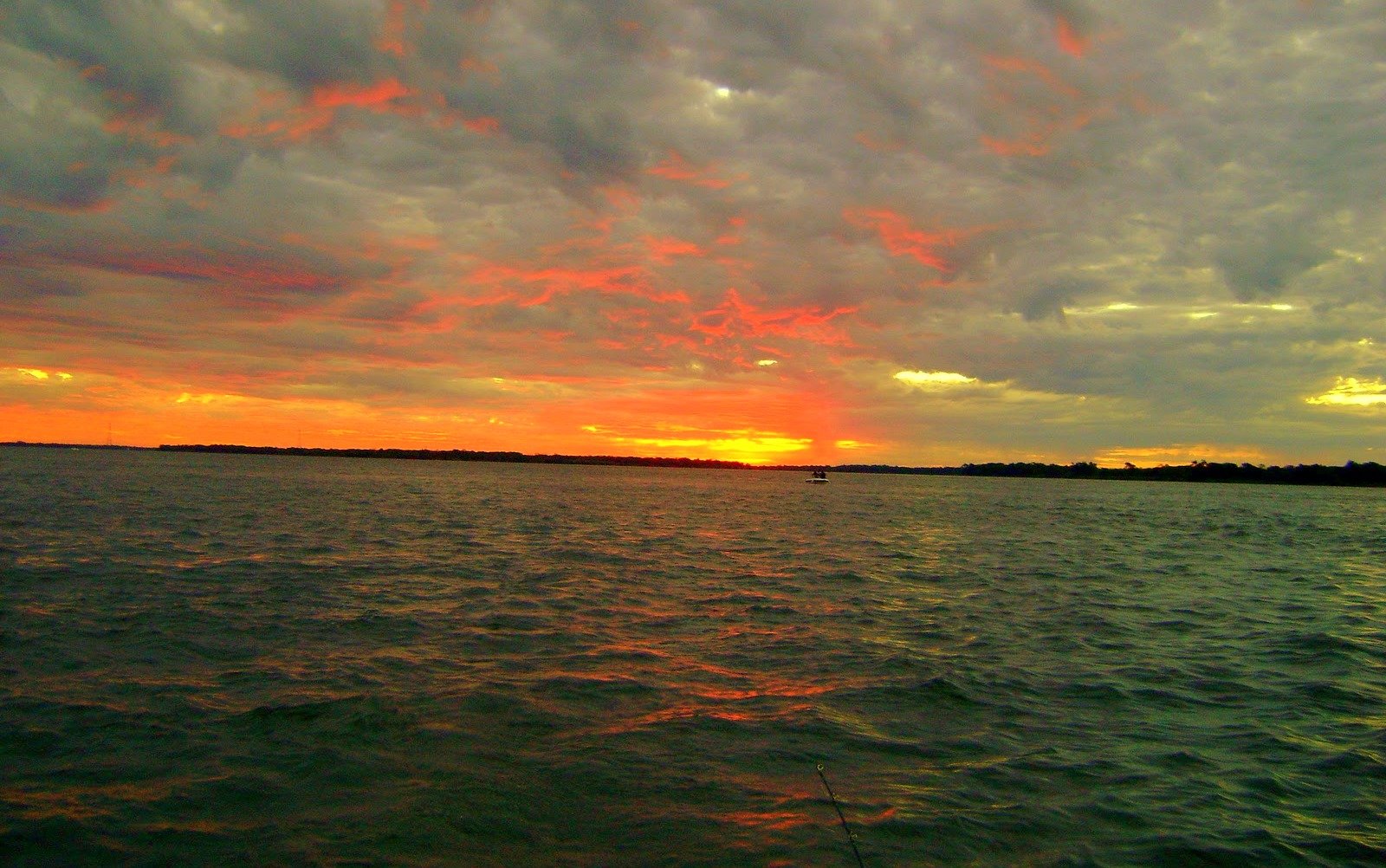
Río Paraná
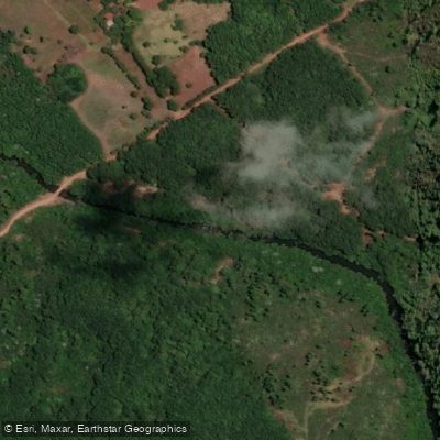
Arroyo del Medio

Río Paraná
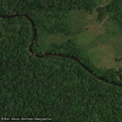
Arroyo Acaraguá
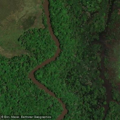
Río Aguapey
Arroyo del Medio
Explore Misiones waters
Top paddling waters
No waters available right now.
Popular Cities
Loading popular cities...
Explore near Arroyo Yabebiry

Smarter Paddling Starts in the App.
Paddleways gives you everything you need to plan smarter, paddle better, and own every trip from first launch to takeout.