Arroyo del Medio
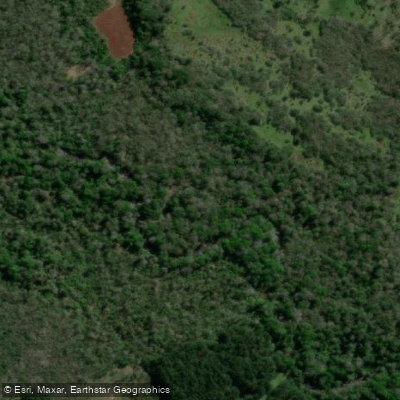
Arroyo del Medio
- Boat Ramps
- 0
- Access Points
- 0
- Campsites
- 0
Arroyo del Medio is a stream located in the province of Misiones, Argentina, flowing through the departments of Cainguás and Oberá. Its course extends approximately 62 kilometers from source to mouth.
The stream originates along the watershed of the sierra de Misiones in the municipality of Campo Grande, at an elevation of roughly 450 meters above sea level (coordinates 27°11′28″S 58°05′22″W). From its headwaters, it descends gradually across the central plateau, crossing Ruta Nacional 14 near kilometer marker 909.5. After passing beneath that highway, it receives the waters of Arroyo Aguas Dulces on its left bank.
The stream's character changes notably along its course. In its upper reaches it follows a northwest-to-southeast orientation before shifting to a southward direction. As it progresses, the valley becomes increasingly sinuous and the channel progressively more incised, eventually forming a confined, canyon-like section. Right-bank tributaries along this stretch include Arroyo De la Cruz and Arroyo Yazá, while left-bank tributaries include Arroyo Padilla, Arroyo Grapia, Arroyo Aguas Dulce (Chiquero), Arroyo Rosa, Arroyo Tarumita, and Arroyo Tres Pasos. Additional right-bank tributaries include Arroyo Persiguero.
The stream terminates at its confluence with Arroyo Acaraguá near the municipal balneario (public bathing area) of Campo Ramón, at an elevation of approximately 140 meters above sea level (coordinates 27°26′37″S 54°55′31″W). The presence of a municipal balneario near the mouth suggests some level of public access and basic facilities in that area.
The drop from source to mouth — roughly 310 meters over 62 kilometers — indicates a moderate average gradient, though the increasingly incised lower valley suggests steeper and more technical sections downstream. Paddlers considering this stream should be aware that the confined canyon character of the lower reaches could present significant hydraulic challenges, particularly during periods of elevated flow.
Water access, boat ramps & amenities
Learn how to get on Arroyo del Medio. Uncover great paddling access points, boat ramps, and all the facilities you need for an unforgettable day on the water. Some locations shown may border or include private property. Always check property boundaries and applicable regulations before visiting. PaddleWays's Public & Private Land layer can help you plan your access with confidence.
Paddle smarter with real-time insights
Whether you're en route and conditions shift or you're looking for the best spot based on current flows, we enable you to make informed decisions on the fly.







Misiones licenses and regulations

Find Places to Paddle

Over 400,000 Places to Paddle
Every user gets free access to launch points, boat ramps, and public property parcels.


Water and weather conditions (10 day forecast)
See the best times to paddle Arroyo del Medio and check the forecast before you go.
No forecast data available.
Paddling near Arroyo del Medio
Arroyo Yabebiry
Arroyo Mártires
Arroyo Ramón

Río Uruguay
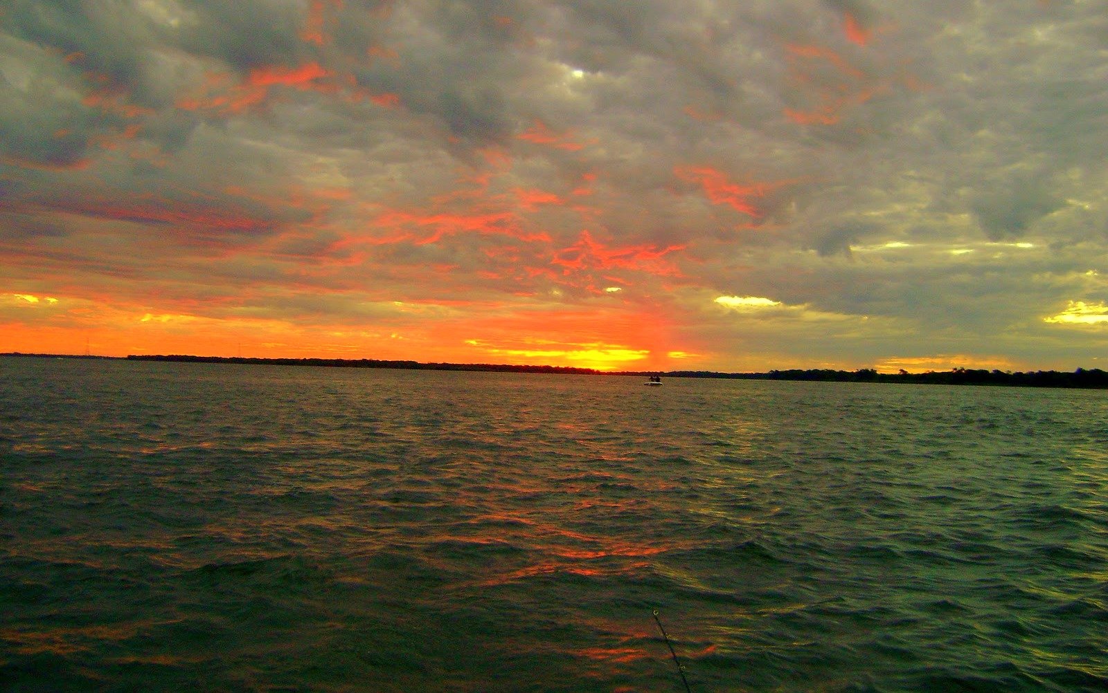
Río Paraná
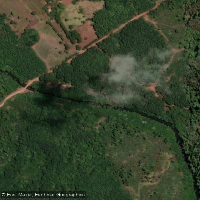
Arroyo del Medio

Río Paraná
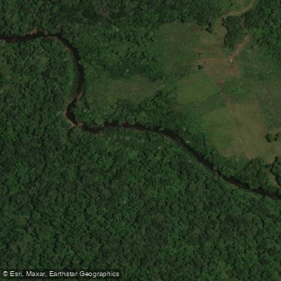
Arroyo Acaraguá
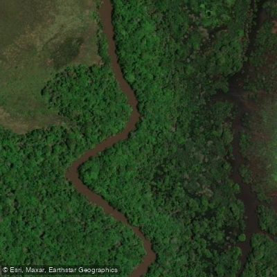
Río Aguapey
Explore Misiones waters
Top paddling waters
No waters available right now.
Popular Cities
Loading popular cities...
Explore near Arroyo del Medio

Smarter Paddling Starts in the App.
Paddleways gives you everything you need to plan smarter, paddle better, and own every trip from first launch to takeout.