Rio Mocoretá
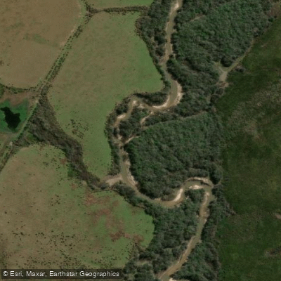
Rio Mocoretá
- Boat Ramps
- 0
- Access Points
- 0
- Campsites
- 0
The Río Mocoretá is a river in the Mesopotamic northeastern region of Argentina, originating in the elevated terrain of the Paiubre plateau, southwest of the Corrientes town of Curuzú Cuatiá. From its headwaters, it runs approximately 140–150 kilometres before emptying into the Uruguay River at the southern end of the Salto Grande reservoir. The river drains a basin of roughly 3,650–3,785 square kilometres.
The upper course is characterized by steep barrancas and cuchillas — the ridges and escarpments typical of the southern half of Corrientes province — where the river runs confined between its banks. Around the midpoint of its course, the gradient eases considerably and the river spreads into a zone of esteros (wetlands) near the locality of Cazadores Correntinos. The lower reach forms the interprovincial boundary between Corrientes and Entre Ríos, passing through the town of Mocoretá before reaching the Uruguay. The river is relatively shallow and narrow overall, with few tributaries of note; the most significant include the arroyos Tunas, Cuenca, San Agustín, Montuoso, Portillo, Tatutí, Arévalo, Sarandí, and Baranda.
Near the town of Mocoretá, there is a nature reserve (Reserva Río Mocoretá) with infrastructure relevant to paddlers. A boat ramp is available for launching kayaks, and kayak rentals are offered on site. Paddlers who bring their own craft access the water free of charge. The reserve also has a campground at its entrance equipped with parrillas (grills), running water, hot water, a small provisions store, children's play areas, tables, and electricity — all provided at no cost. The water within the lagoon area of the reserve is very safe for paddling. The reserve is located just a couple of kilometres from the town of Mocoretá and is easily accessible from Ruta Nacional 14. Kayaking events and gatherings have been held at this location in the past.
The river is crossed by the Ruta Nacional 14 interprovincial bridge near Mocoretá, and Ruta Nacional 127 crosses it within Corrientes province, providing road access at multiple points along the route.
Water access, boat ramps & amenities
Learn how to get on Rio Mocoretá. Uncover great paddling access points, boat ramps, and all the facilities you need for an unforgettable day on the water. Some locations shown may border or include private property. Always check property boundaries and applicable regulations before visiting. PaddleWays's Public & Private Land layer can help you plan your access with confidence.
Paddle smarter with real-time insights
Whether you're en route and conditions shift or you're looking for the best spot based on current flows, we enable you to make informed decisions on the fly.







Corrientes licenses and regulations

Find Places to Paddle

Over 400,000 Places to Paddle
Every user gets free access to launch points, boat ramps, and public property parcels.


Water and weather conditions (10 day forecast)
See the best times to paddle Rio Mocoretá and check the forecast before you go.
Aº Mocoretá - RN Nº 14
Paddling near Rio Mocoretá
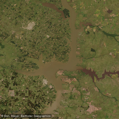
Lago Salto Grande
Río Uruguay
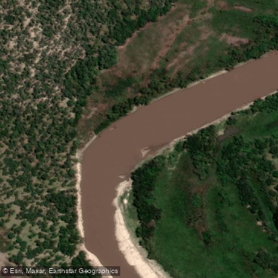
Río Gualeguay
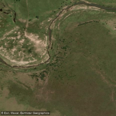
Arroyo Mandisoví Chico
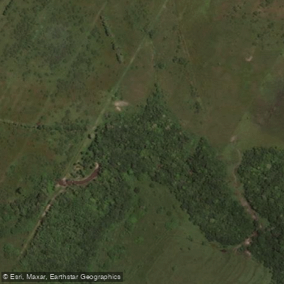
Arroyo Ayuí Grande
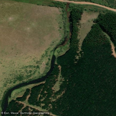
Arroyo Sarandí o Benítez
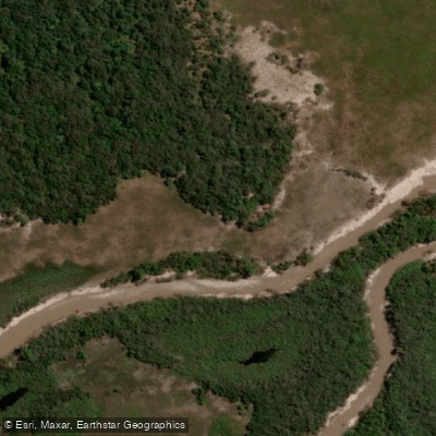
Arroyo Feliciano
Arroyo Yuquerí Grande
Arroyo Gualeguaycito o San Pascual
Explore Corrientes waters
Top paddling waters
No waters available right now.
Popular Cities
Loading popular cities...
Explore near Rio Mocoretá

Smarter Paddling Starts in the App.
Paddleways gives you everything you need to plan smarter, paddle better, and own every trip from first launch to takeout.