Arroyo Feliciano
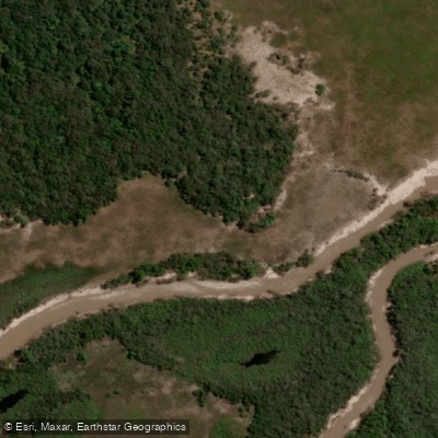
Arroyo Feliciano
- Boat Ramps
- 0
- Access Points
- 0
- Campsites
- 0
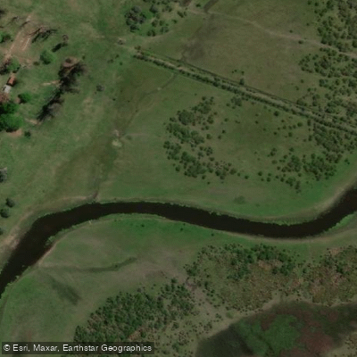
Arroyo Feliciano is a river in the Argentine province of Entre Ríos, in the Mesopotamia region. It originates at the Lomada del Mocoretá in the northeastern part of the province, east of San José de Feliciano, and flows generally west-southwest for 198 kilometres before emptying into the riacho Alcaraz, a distributary of the Paraná River, near Puerto Algarrobo. Its drainage basin covers 8,303 square kilometres.
Along its course, the river receives the waters of numerous tributaries, including the arroyos Víboras, Atencio, Quebrachos, Puerto, Estacas Este, Banderas, de las Achiras, del Yeso, Estacas, Chimango, Don Gonzalo, Las Palmitas, Grande, and Alcaraz. Most of these tributaries originate on the slopes of the cuchilla de Montiel. The river passes through or borders the departments of San José de Feliciano, La Paz, and Federal.
Several road crossings provide potential access points along the river's length. Ruta Nacional 12 crosses at Paso el Quebracho, and provincial routes 6, 5, 28, and 2 also cross the river at various points. Paso Medina, a bridge crossing near La Paz, is one noted access location along the river.
The river supports a notable fishery. Golden dorado are present in good numbers and have been taken on both bait and fly fishing setups. Other species in the river include boga, bagre (catfish), amarillo, and mojarra. The presence of dorado in particular makes the river of interest to anglers who may share the water with paddlers.
Water access, boat ramps & amenities
Learn how to get on Arroyo Feliciano. Uncover great paddling access points, boat ramps, and all the facilities you need for an unforgettable day on the water. Some locations shown may border or include private property. Always check property boundaries and applicable regulations before visiting. PaddleWays's Public & Private Land layer can help you plan your access with confidence.
Paddle smarter with real-time insights
Whether you're en route and conditions shift or you're looking for the best spot based on current flows, we enable you to make informed decisions on the fly.







Entre Ríos licenses and regulations

Find Places to Paddle

Over 400,000 Places to Paddle
Every user gets free access to launch points, boat ramps, and public property parcels.


Water and weather conditions (10 day forecast)
See the best times to paddle Arroyo Feliciano and check the forecast before you go.
Aº Feliciano - Paso Medina
All Flow Stations
Paddling near Arroyo Feliciano

Río Paraná
Río Corrientes

Río Paraná
Río San Javier
Arroyo Saladillo Dulce
Río Guayquiraró
Arroyo Barrancas
Laguna del Cristal
Riacho Espinillo
Arroyo Sarandí
Explore Entre Ríos waters
Top paddling waters
No waters available right now.
Popular Cities
Loading popular cities...
Explore near Arroyo Feliciano

Smarter Paddling Starts in the App.
Paddleways gives you everything you need to plan smarter, paddle better, and own every trip from first launch to takeout.