Embalse Piedras Moras
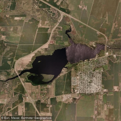
Embalse Piedras Moras
- Boat Ramps
- 0
- Access Points
- 0
- Campsites
- 1
Embalse Piedras Moras sits on the Ctalamochita River (also known as the Río Tercero), approximately 2 km from the town of Almafuerte and 101 km south of Córdoba city via Provincial Route 36. The reservoir was completed in 1979 and covers between 600 and 900 hectares, with a maximum depth of 34 metres and an elevation of 432 metres above sea level. It is the fourth reservoir in the Río Tercero system and was built for drinking water supply, irrigation, hydroelectric generation, and flood control.
A defining characteristic of this reservoir is its ecological designation: only sail and rowing activities are permitted on the water. Motorized craft are not allowed, which keeps the surface calm and the water notably clean — it is widely regarded as the cleanest reservoir in Córdoba province. This restriction makes it a particularly suitable environment for kayaking and other human-powered paddling, with no motorboat traffic to contend with.
Water temperatures follow a clear seasonal pattern, dropping to around 10°C in winter and rising to approximately 25°C in summer. Summer and early autumn offer the most comfortable conditions for on-water activity. The bottom is predominantly mud, which can reduce visibility, though maximum underwater visibility reaches about 5 metres under good conditions.
Several local operators based in Almafuerte offer kayak rentals and guided paddling excursions on both the reservoir and the adjacent Río Ctalamochita, catering to a range of experience levels. The town of Almafuerte provides hotels, campsites, and a beach complex along the reservoir's shore, including food service, restrooms, and shaded parking. There is a vehicle access point with an entry fee for the beach area.
Beneath the surface lies the submerged village of Salto Norte, expropriated during dam construction. Divers explore the remains of the San José Church with its largely intact bell tower, a cemetery, estancia houses, the Soconcho stream bridge, and the La Cascada power station dating to 1916. While these features are primarily of interest to divers, they add a notable historical dimension to the reservoir. The surrounding landscape is characterized by the sierras of Córdoba, and the shoreline includes sandy beach areas.
Water access, boat ramps & amenities
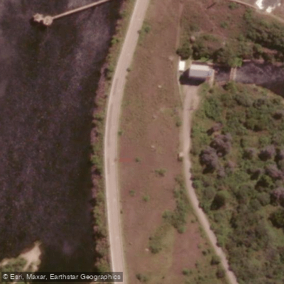
Learn how to get on Embalse Piedras Moras. Uncover great paddling access points, boat ramps, and all the facilities you need for an unforgettable day on the water. Some locations shown may border or include private property. Always check property boundaries and applicable regulations before visiting. PaddleWays's Public & Private Land layer can help you plan your access with confidence.
Paddle smarter with real-time insights
Whether you're en route and conditions shift or you're looking for the best spot based on current flows, we enable you to make informed decisions on the fly.







Córdoba licenses and regulations

Find Places to Paddle

Over 400,000 Places to Paddle
Every user gets free access to launch points, boat ramps, and public property parcels.


Water and weather conditions (10 day forecast)
See the best times to paddle Embalse Piedras Moras and check the forecast before you go.
No forecast data available.
Paddling near Embalse Piedras Moras
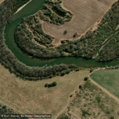
Río Tercero (Ctalamochita)
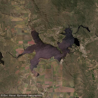
Embalse Ministro Juan Pistarini
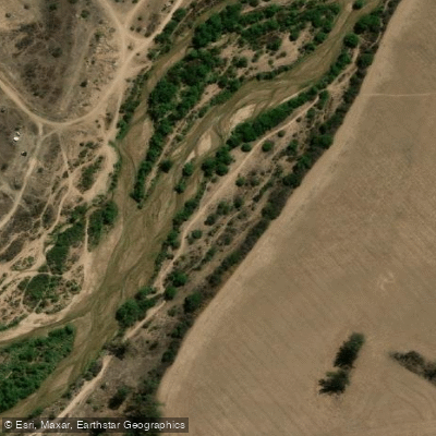
Río Segundo (Xanaes)
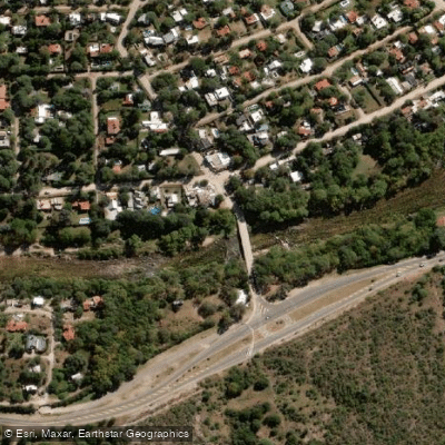
Río Anizacate
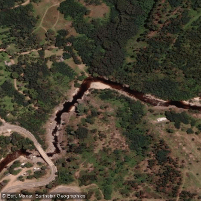
Río de los Reartes
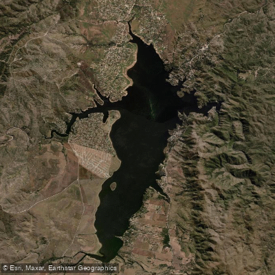
Embalse Los Molinos
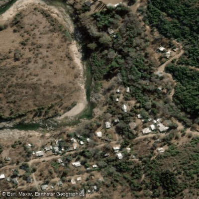
Río Quillinzo
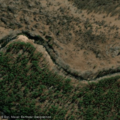
Río de los Sauces
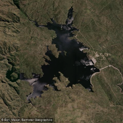
Embalse Cerro Pelado
Explore Córdoba waters
Top paddling waters
No waters available right now.
Popular Cities
Loading popular cities...
Explore near Embalse Piedras Moras

Smarter Paddling Starts in the App.
Paddleways gives you everything you need to plan smarter, paddle better, and own every trip from first launch to takeout.