Arroyo Ayuí Grande
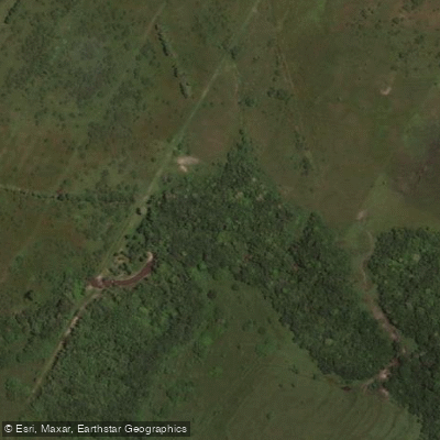
Arroyo Ayuí Grande
- Boat Ramps
- 0
- Access Points
- 0
- Campsites
- 1
Arroyo Ayuí Grande is a stream in the Concordia department of Entre Ríos Province, Argentina. It originates at an elevation of approximately 42 meters in the foothills of the Cuchilla Grande, a few kilometers northeast of Los Charrúas, and flows generally southeast for 26.38 kilometers before emptying into the Río Uruguay roughly 1,800 meters downstream of the Salto Grande dam, within the municipal limits of Concordia. Including its source tributaries, the total watercourse measures approximately 34.67 kilometers. The stream forms an island at one point along its course. Its principal tributary is the Arroyo Loma de Negra (15.09 km), followed by the Arroyo Seco (8.43 km), along with four additional smaller tributaries.
The arroyo flows through gallery forest that forms part of the broader Selva Misionera, also known as the Paranaense forest. Riparian vegetation along the banks includes seibo, canelón, palma pindó, laurel, and curupí. A private natural reserve of 215 hectares was established in July 2000 in the area where Ruta Nacional N° 14 crosses the arroyo, with the aim of protecting this gallery forest corridor. A conservation corridor initiative along the full length of the stream involves landowner agreements that prohibit trammel net fishing, cutting of native timber, application of agrochemicals within 50 meters of the water, hunting, obstruction of the watercourse, and washing of machinery in the stream. Paddlers should be aware of these conservation restrictions when planning trips.
Fish species found in the arroyo include Golden dorado, Boga, and Trahira, reflecting the stream's connection to the broader Río Uruguay watershed. The mouth of the arroyo at the Río Uruguay is located at approximately 31°17′S, 57°57′W, near the locality known as La Tortuga Alegre.
Water access, boat ramps & amenities
Learn how to get on Arroyo Ayuí Grande. Uncover great paddling access points, boat ramps, and all the facilities you need for an unforgettable day on the water. Some locations shown may border or include private property. Always check property boundaries and applicable regulations before visiting. PaddleWays's Public & Private Land layer can help you plan your access with confidence.
Paddle smarter with real-time insights
Whether you're en route and conditions shift or you're looking for the best spot based on current flows, we enable you to make informed decisions on the fly.







Entre Ríos licenses and regulations

Find Places to Paddle

Over 400,000 Places to Paddle
Every user gets free access to launch points, boat ramps, and public property parcels.


Water and weather conditions (10 day forecast)
See the best times to paddle Arroyo Ayuí Grande and check the forecast before you go.
No forecast data available.
Paddling near Arroyo Ayuí Grande

Río Uruguay
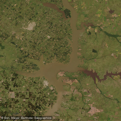
Lago Salto Grande
Arroyo Yuquerí Grande
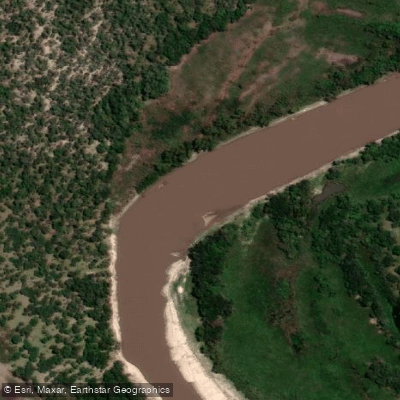
Río Gualeguay
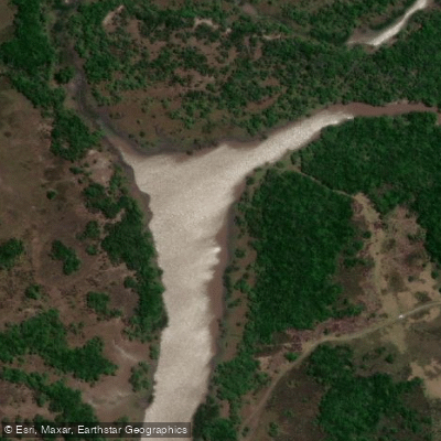
Río Gualeguaychú
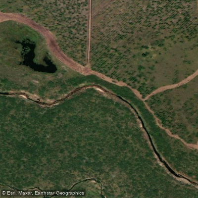
Arroyo Gualeguaycito o San Pascual
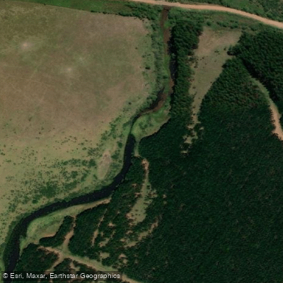
Arroyo Sarandí o Benítez
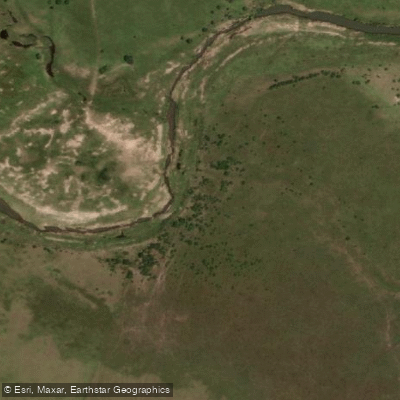
Arroyo Mandisoví Chico
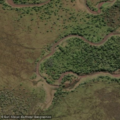
Arroyo Caraballo
Explore Entre Ríos waters
Top paddling waters
No waters available right now.
Popular Cities
Loading popular cities...
Explore near Arroyo Ayuí Grande

Smarter Paddling Starts in the App.
Paddleways gives you everything you need to plan smarter, paddle better, and own every trip from first launch to takeout.