Embalse El Nihuil
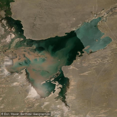
Embalse El Nihuil
- Boat Ramps
- 0
- Access Points
- 0
- Campsites
- 1
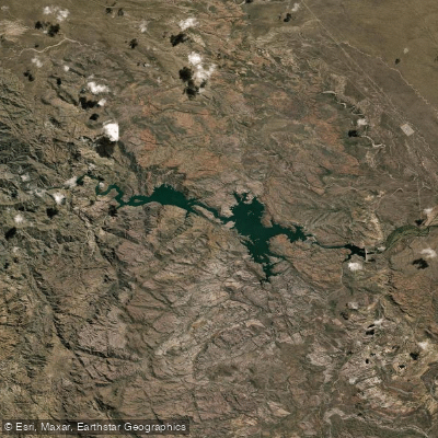
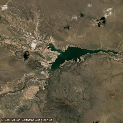
Embalse El Nihuil is a large reservoir covering approximately 9,600 hectares in the province of Mendoza, Argentina, situated at an altitude of 1,300 metres above sea level. It lies within the Cuyo region alongside the Andes mountain range and is reached via National Route 144 and Provincial Route 180 from the city of San Rafael, roughly 72 kilometres away. The reservoir's coordinates place it at approximately 35°04'S, 68°45'W.
The environment surrounding the reservoir is arid and dramatic, characterized by 200-metre-high dunes, canyons — notably the Cañón del Nihuil — and nearby salt flats. The climate is cold and dry, and the area is known for strong winds, which are a significant factor for paddlers to account for when planning a trip. These persistent winds make conditions challenging and can change the character of the water surface considerably.
Canoe and kayak paddling are popular activities on the reservoir. The same strong winds that create hazardous paddling conditions also support windsurfing and kitesurfing, so paddlers should expect to share the water with wind-sport users and motorized craft, including powerboats used for water skiing. Awareness of boat traffic is an important safety consideration.
The reservoir supports a variety of fish species, including pejerrey patagónico, Creole perch, and rainbow trout, making it a popular fishing destination. Birdwatching is also rewarding in the area, with wildlife visible to paddlers moving along the shoreline.
A recommended stay of two to three days allows visitors to explore the scale of the reservoir and the range of surrounding terrain. The combination of high altitude, strong winds, extreme temperatures, and remote arid surroundings means paddlers should come well prepared with appropriate gear and safety equipment.
Water access, boat ramps & amenities
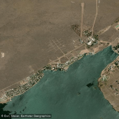
Learn how to get on Embalse El Nihuil. Uncover great paddling access points, boat ramps, and all the facilities you need for an unforgettable day on the water. Some locations shown may border or include private property. Always check property boundaries and applicable regulations before visiting. PaddleWays's Public & Private Land layer can help you plan your access with confidence.
Paddle smarter with real-time insights
Whether you're en route and conditions shift or you're looking for the best spot based on current flows, we enable you to make informed decisions on the fly.







Mendoza licenses and regulations

Find Places to Paddle

Over 400,000 Places to Paddle
Every user gets free access to launch points, boat ramps, and public property parcels.


Water and weather conditions (10 day forecast)
See the best times to paddle Embalse El Nihuil and check the forecast before you go.
No forecast data available.
Paddling near Embalse El Nihuil
Explore Mendoza waters
Top paddling waters
No waters available right now.
Popular Cities
Loading popular cities...
Explore near Embalse El Nihuil

Smarter Paddling Starts in the App.
Paddleways gives you everything you need to plan smarter, paddle better, and own every trip from first launch to takeout.