Río Desaguadero
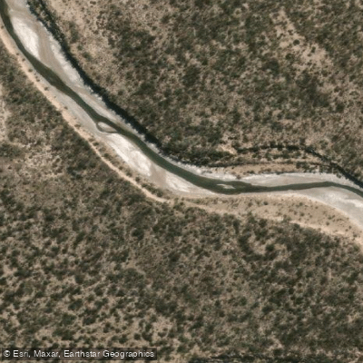
Río Desaguadero
- Boat Ramps
- 0
- Access Points
- 0
- Campsites
- 0
The Río Desaguadero forms the natural boundary between Mendoza and San Luis provinces in western Argentina, running roughly north to south along the eastern edge of San Luis. The river is part of a much longer waterway system — known as the Bermejo or Vinchina in its upper reaches and the Salado further downstream — that ultimately joins the Río Colorado in La Pampa Province after a total course of approximately 1,498 km.
In the section relevant to San Luis, the river originates hydrologically from the overflow of the lagunas de Guanacache. In its initial stretch below the lagunas it flows intermittently, but after roughly 30 km it receives groundwater contributions from both the east and west, stabilizing into a medium-width channel with consistent flow. From that point onward, the river is considered navigable for canoes and small boats. National Route 7, which connects Mendoza and San Luis, crosses the river at the provincial border and represents a practical reference point for paddlers orienting themselves to the upper navigable section.
The river's intermittent character in its upper reaches is an important planning consideration: flow depends significantly on the water levels of the lagunas de Guanacache and the degree of upstream water extraction for irrigation, which has historically reduced the river's volume considerably. Multi-day kayak expeditions have been completed along this river system, traveling from the lagunas downstream through the Desaguadero and onward to the Atlantic — a journey of over 1,800 km — demonstrating that extended paddling is feasible when water levels permit.
The surrounding landscape is arid, consistent with the semi-arid character of this part of Argentina. The river runs through open, flat terrain with pronounced barrancas (steep riverbanks) that are visible evidence of the river's historically greater volume and flow.
Water access, boat ramps & amenities
Learn how to get on Río Desaguadero. Uncover great paddling access points, boat ramps, and all the facilities you need for an unforgettable day on the water. Some locations shown may border or include private property. Always check property boundaries and applicable regulations before visiting. PaddleWays's Public & Private Land layer can help you plan your access with confidence.
Paddle smarter with real-time insights
Whether you're en route and conditions shift or you're looking for the best spot based on current flows, we enable you to make informed decisions on the fly.







Mendoza licenses and regulations

Find Places to Paddle

Over 400,000 Places to Paddle
Every user gets free access to launch points, boat ramps, and public property parcels.


Water and weather conditions (10 day forecast)
See the best times to paddle Río Desaguadero and check the forecast before you go.
No forecast data available.
Paddling near Río Desaguadero
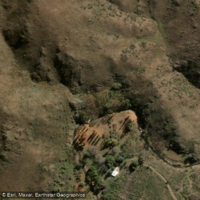
Arroyo de las Águilas
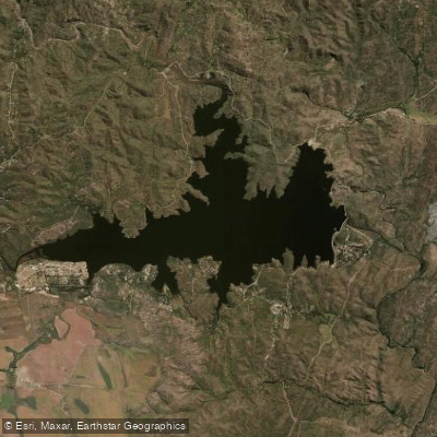
Embalse La Florida
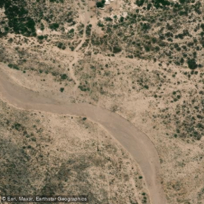
Río Tunuyán
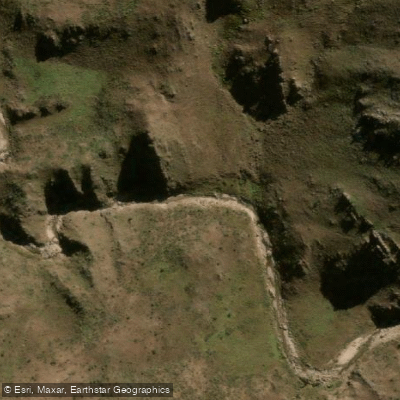
Río Virorco
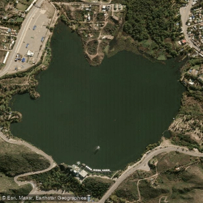
Embalse Potrero de los Funes
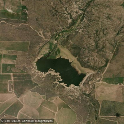
Embalse Paso de las Carretas
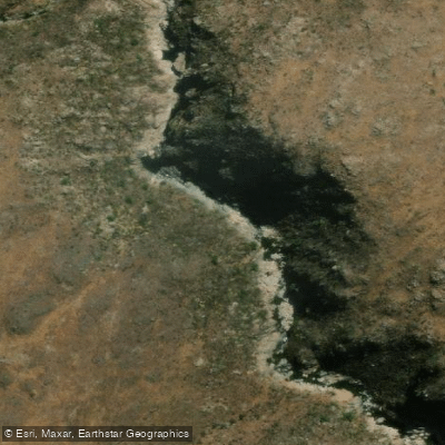
Río de Juan Gómez
Río Socoscora
Embalse Cruz de Piedra
Explore Mendoza waters
Top paddling waters
No waters available right now.
Popular Cities
Loading popular cities...
Explore near Río Desaguadero

Smarter Paddling Starts in the App.
Paddleways gives you everything you need to plan smarter, paddle better, and own every trip from first launch to takeout.