Paddling in Fire Land National Park
- National Park
- Lakes
- 8
- Rivers
- 3
- Access
- 0
- Boat Ramps
- 0
- Shops
- 0
Tierra del Fuego National Park sits at the southern tip of Argentine Patagonia, where subantarctic forest, mountain rivers, and a coastline on the Beagle Channel converge in a single protected area.
The paddling here is calm and coastal in character — flatwater rivers, sheltered bays, and glacier-fed lakes rather than whitewater — set against lenga beech forest and peaks that drop steeply toward the sea.
The park lies just west of Ushuaia, and most water access flows through that gateway. The Río Lapataia and Lago Acigami anchor the main paddling corridor inside the park.
Guided trips typically put in at Lago Acigami and run the Lapataia River downstream to Lapataia Bay, where the river meets the Beagle Channel and Ruta Nacional 3 reaches its southern terminus.
The current does much of the work on this stretch — paddlers report shallow sections requiring careful maneuvering, but no serious technical difficulty.
The route passes through forest and wetland that road and trail don't reach, including beaver-altered channels; North American beavers introduced decades ago have reshaped significant stretches of riparian habitat throughout the park.
Laguna Verde, a clear-water lagoon along the route, is one of the more striking spots on the water. Lago Fagnano lies outside the park boundary but is accessible from the Ushuaia area and is used by the same outfitters who operate inside the park.
Lago Roca, also called Lago Errázuriz, sits within the park near the Chilean border and appears in guided itineraries as a staging point before the river paddle.
Guided canoe trips run roughly from mid-July through early May; the shoulder months bring cold temperatures and the possibility of snow at elevation, so layering and waterproof gear matter more here than on most flatwater trips.
Average summer temperatures hover around 10 °C, and westerly winds can come up quickly on open water. Rainfall averages 700 mm annually with no true dry season, so paddlers should plan for wet conditions regardless of timing.
Because this is a national park, access and activity rules apply on top of any provincial requirements — check with the park directly for current permit requirements before launching.
The Beagle Channel and the park's coastal waters are exposed enough that conditions can change faster than the calm scenery suggests.
Top waters to paddle near Fire Land National Park
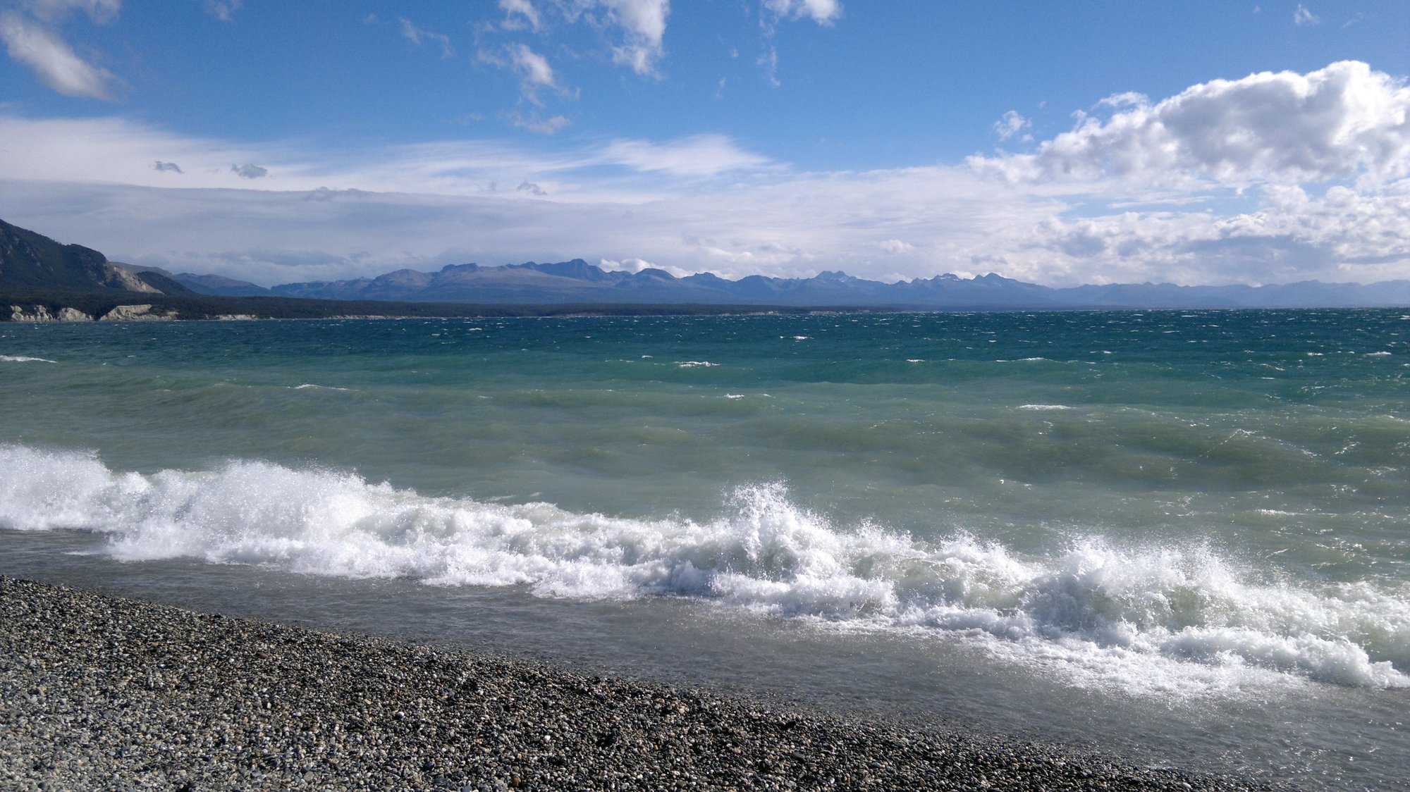
Lago Fagnano
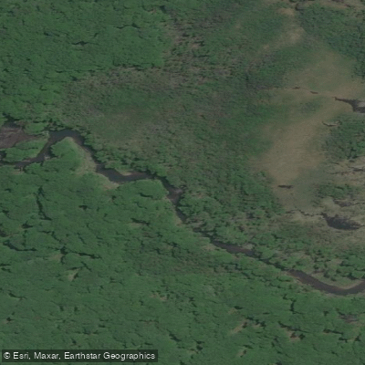
Río Pipo
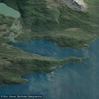
Bahía Lapataia
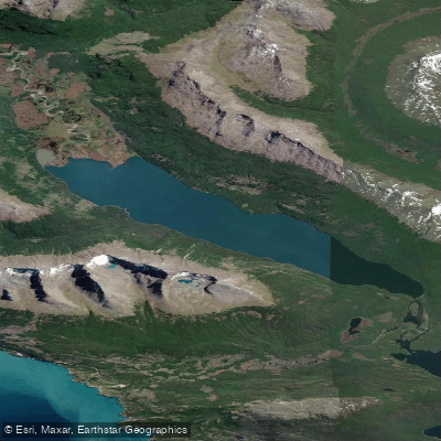
Lago Errázuriz / Lago Roca
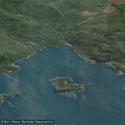
Bahia Ensenada Zaratiegui
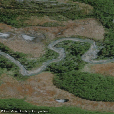
Río Olivia
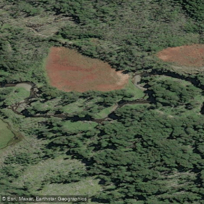
Arroyo Grande
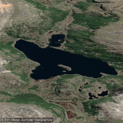
Lago Alto
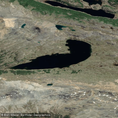
Lago Gásperi
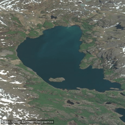
Laguna del Caminante
Water and weather conditions (10 day forecast)
See the best times to paddle Fire Land National Park and check the forecast before you go.
No forecast data available.
Paddle smarter with real-time insights
Whether you're en route and conditions shift or you're looking for the best spot based on current flows, we enable you to make informed decisions on the fly.







Paddling near Fire Land National Park
Loading...
Gateway towns
Where to base yourself for paddling in Fire Land National Park.
- UshuaiaTierra del Fuego
The park's only gateway city, with the main entrance, all lodging, guides, outfitters, and tour operators serving the park.
Explore Fire Land National Park
Top paddling waters
Popular Cities
Loading popular cities...

Smarter Paddling Starts in the App.
Paddleways gives you everything you need to plan smarter, paddle better, and own every trip from first launch to takeout.