Lago Errázuriz / Lago Roca
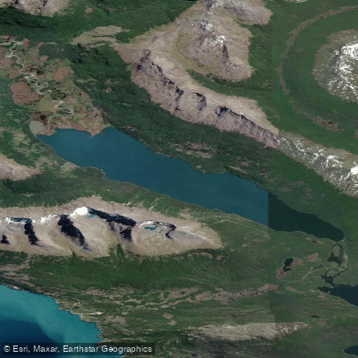
Lago Errázuriz / Lago Roca
- Boat Ramps
- 0
- Access Points
- 0
- Campsites
- 0
Lago Errázuriz / Lago Roca is a glacial lake situated in the southern portion of Isla Grande de Tierra del Fuego, straddling the border between Argentina and Chile. The Argentine portion lies within Tierra del Fuego National Park, while the Chilean side falls within Yendegaia National Park. The lake runs roughly northwest to southeast between the Guanaco and Pirámides mountain ranges of the Andes, stretching approximately 11 kilometers in length with an average width of about 1.5 kilometers. Two-thirds of the lake's extent lies in Chilean territory. The lake was formed by the natural damming of the Río Lapataia by a glacial moraine, and the Río Lapataia serves as both an inflow and the primary outflow. Additional tributaries include the Río Rojas and the arroyo Guanaco.
The lake carries three names reflecting its layered history: Lago Roca on the Argentine side, named for President Julio Argentino Roca; Lago Errázuriz on the Chilean side, named for President Federico Errázuriz Echaurren; and the indigenous name Acigami. The dual presidential naming commemorates the "Abrazo del Estrecho" of February 15, 1899, when the two presidents met aboard the cruiser O'Higgins to resolve a territorial dispute. In Argentina, the lake was officially known as Lago Acigami from 2008 until 2024, when the government restored the name Lago Roca.
The lake is a recognized tourist destination, accessible by land from within Tierra del Fuego National Park, with the Argentine shoreline reachable by road. Visitors have also arrived by boat as part of organized excursions. The lake supports populations of rainbow trout and brook trout, making it a destination for fly fishing. The lake features weed beds and shallow areas with emergent vegetation at the lower end, as well as open water suitable for drifting in a small boat. The surrounding landscape is defined by Andean mountain ridges and the broader subantarctic environment of Tierra del Fuego.
Water access, boat ramps & amenities
Learn how to get on Lago Errázuriz / Lago Roca. Uncover great paddling access points, boat ramps, and all the facilities you need for an unforgettable day on the water. Some locations shown may border or include private property. Always check property boundaries and applicable regulations before visiting. PaddleWays's Public & Private Land layer can help you plan your access with confidence.
Paddle smarter with real-time insights
Whether you're en route and conditions shift or you're looking for the best spot based on current flows, we enable you to make informed decisions on the fly.







Tierra Del Fuego licenses and regulations

Find Places to Paddle

Over 400,000 Places to Paddle
Every user gets free access to launch points, boat ramps, and public property parcels.


Water and weather conditions (10 day forecast)
See the best times to paddle Lago Errázuriz / Lago Roca and check the forecast before you go.
No forecast data available.
Paddling near Lago Errázuriz / Lago Roca
Río Pipo
Río Lasifashaj
Bahía de Ushuaia
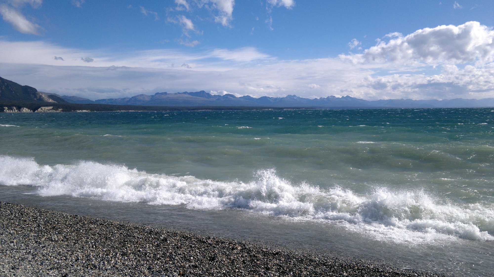
Lago Fagnano
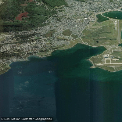
Bahía Golondrina
Río Encajonado
Río Varela
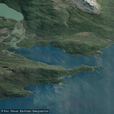
Bahía Lapataia
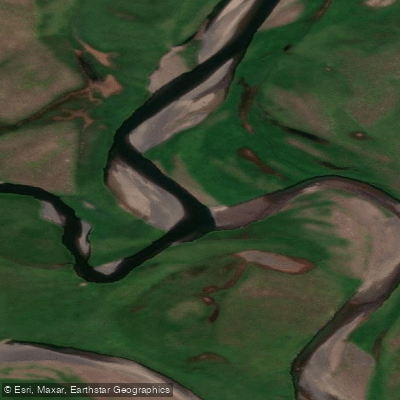
Río de las Turbas o Menéndez
Explore Tierra Del Fuego waters
Top paddling waters
No waters available right now.
Popular Cities
Loading popular cities...
Explore near Lago Errázuriz / Lago Roca

Smarter Paddling Starts in the App.
Paddleways gives you everything you need to plan smarter, paddle better, and own every trip from first launch to takeout.