Bahía Lapataia
- Saltwater
- Bay
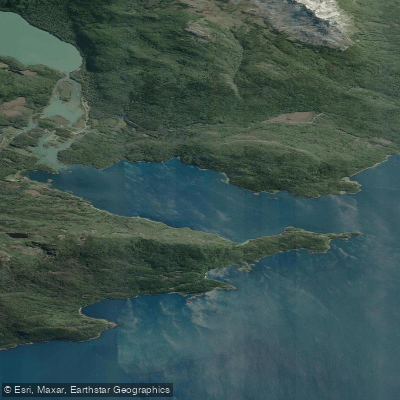
Bahía Lapataia
- Saltwater
- Bay
- Sq. miles
- 2.1
- Boat Ramps
- 0
- Access Points
- 0
- Campsites
- 0
Bahía Lapataia is a coastal bay located within Tierra del Fuego National Park, at the terminus of the Pan-American Highway. The bay is a saltwater feature connected to the broader Beagle Channel, offering paddlers a scenic marine environment at the symbolic "end of the world." The primary access point for paddlers is from the shore at the end of Route 3, where the road culminates at the bay. This area serves as a common launch and take-out point for guided canoe tours, which utilize stable, inflatable canoes. Paddling typically occurs within the sheltered confines of the bay itself, though conditions are strongly influenced by the region's notorious wind and weather, which can include rain and strong gusts even during summer months. The overall character is one of remote, rugged Patagonian coastline, with dramatic mountain backdrops and forests coming down to the water's edge.
Notable sights from the water include views of the surrounding mountains and glaciers, and the coastal area is rich in birdlife. Paddlers may observe species such as kelp geese, steamer ducks, oystercatchers, and black-necked swans. The bay's waters also hold historical significance, with traces of ancient native inhabitants reported along the coast. The best time for paddling aligns with the warmer and more accessible summer season in the Southern Hemisphere, from October through February, though variable conditions persist. All paddling within the bay occurs inside the national park, requiring payment of an entrance fee for visits between October and the end of February; entry is free from May to September. Guided tours are a prevalent way to experience the bay, often combining a paddle with hiking in the park. These tours typically last around 1.5 hours on the water and emphasize the need for proper cold-weather, waterproof gear due to the consistently cool and damp climate.
Water access, boat ramps & amenities
Learn how to get on Bahía Lapataia. Uncover great paddling access points, boat ramps, and all the facilities you need for an unforgettable day on the water. Some locations shown may border or include private property. Always check property boundaries and applicable regulations before visiting. PaddleWays's Public & Private Land layer can help you plan your access with confidence.
Paddle smarter with real-time insights
Whether you're en route and conditions shift or you're looking for the best spot based on current flows, we enable you to make informed decisions on the fly.







Tierra Del Fuego licenses and regulations

Find Places to Paddle

Over 400,000 Places to Paddle
Every user gets free access to launch points, boat ramps, and public property parcels.


Tides, wind & water conditions (10 day forecast)
On open water, wind and tide matter as much as the weather. See the best times to paddle Bahía Lapataia and check the marine forecast before you launch.
Loading tide predictions…
Paddling near Bahía Lapataia
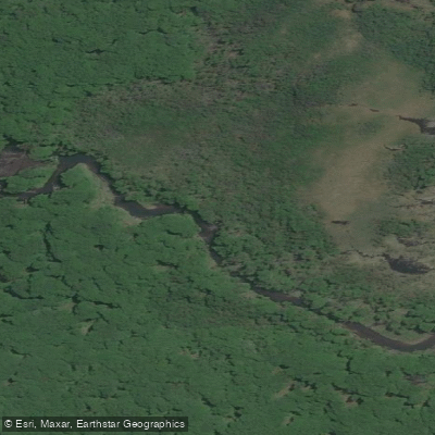
Río Pipo
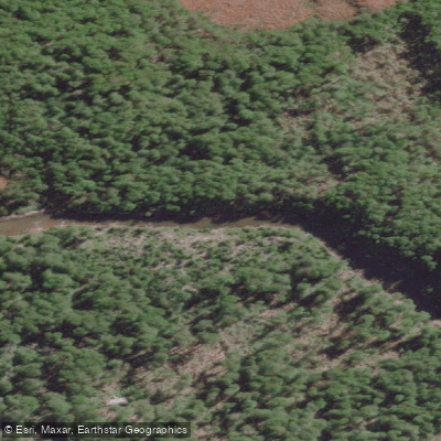
Río Lasifashaj
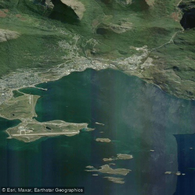
Bahía de Ushuaia
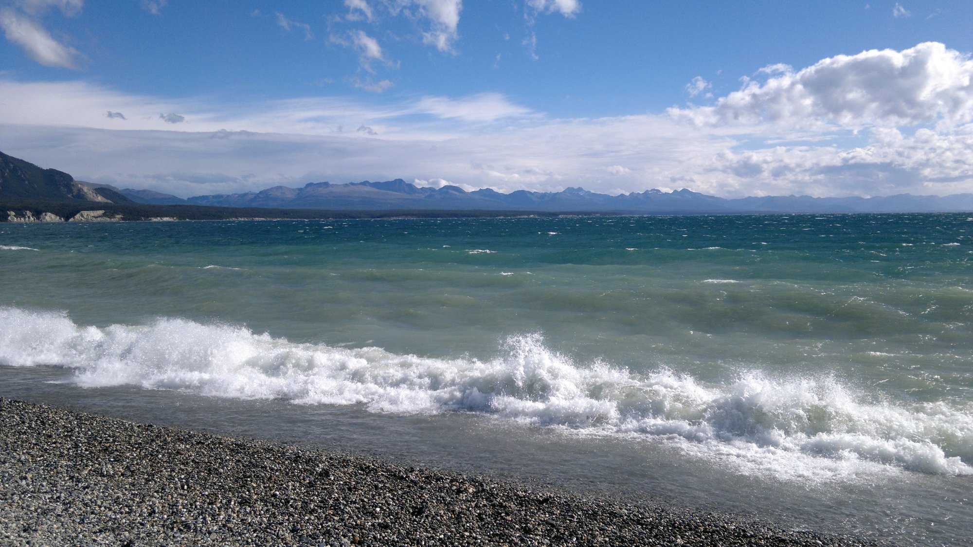
Lago Fagnano
Lago Errázuriz / Lago Roca
Bahía Golondrina
Río Encajonado
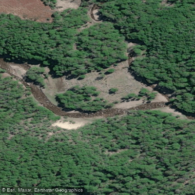
Río Varela
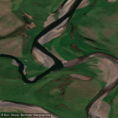
Río de las Turbas o Menéndez
Explore Tierra Del Fuego waters
Top paddling waters
No waters available right now.
Popular Cities
Loading popular cities...
Explore near Bahía Lapataia

Smarter Paddling Starts in the App.
Paddleways gives you everything you need to plan smarter, paddle better, and own every trip from first launch to takeout.