Paddling in Parque Nacional Tierra del Fuego
- National Park
- Lakes
- 7
- Rivers
- 3
- Access
- 0
- Boat Ramps
- 0
- Shops
- 0
Parque Nacional Tierra del Fuego holds a mix of freshwater lakes, short rivers, coastal lagoons, and the tidal edge of the Canal Beagle — all within 68,909 hectares at the southern tip of Argentina.
It is the country's only national park where forest, mountain, and marine environments converge, and that convergence shapes every paddle stroke taken here.
The signature water route inside the park runs from Lago Acigami (also called Lago Roca), which borders Chile, down the Río Lapataia and the smaller Río Ovando, through Laguna Verde, and out into Bahía Lapataia on the Canal Beagle.
The transition from clear freshwater river to brackish lagoon to open tidal bay happens in roughly an hour and a half of paddling — a short run, but one that moves through terrain unreachable by road or trail.
The archipiélago Cormoranes, a cluster of small islands in the lower section, sits in the middle of active seabird nesting habitat. The take-out at Bahía Lapataia is also the terminus of Ruta Nacional 3, the end of the Panamerican Highway.
Inflatable canoes are the standard craft on the Lapataia corridor, typically run as guided day trips that combine a two-and-a-half to three-hour hike — either the Pampa Alta path or the coastal trail — with the paddle.
An authorized guide is required; the park does not permit self-guided paddling on this route. The season for this combination runs roughly mid-July through early May, though conditions depend heavily on weather, which changes fast at this latitude.
Lago Fagnano, the large lake that stretches east-west across the island, lies mostly outside the park boundary, but its shores are referenced as part of overland approaches.
Lago Escondido is accessible via a separate off-road excursion that skirts Fagnano's coast. Neither is a park-interior paddle in the same sense as the Lapataia system.
The Canal Beagle itself, accessible from Bahía Lapataia and from points like Bahía Golondrina and Caleta Aspirante near Ushuaia, is sea-kayak territory — open water subject to the wind patterns and tidal movement of a subantarctic channel.
That is a different discipline and a different risk profile than the sheltered river run inside the park. Paddling here is not technically demanding, but the environment is unforgiving. Gear inspections and guide requirements exist for good reason.
Check current permit and access rules directly with the park administration before you go — regulations at the southern end of the continent are enforced, and they can change.
Top waters to paddle near Parque Nacional Tierra Del Fuego
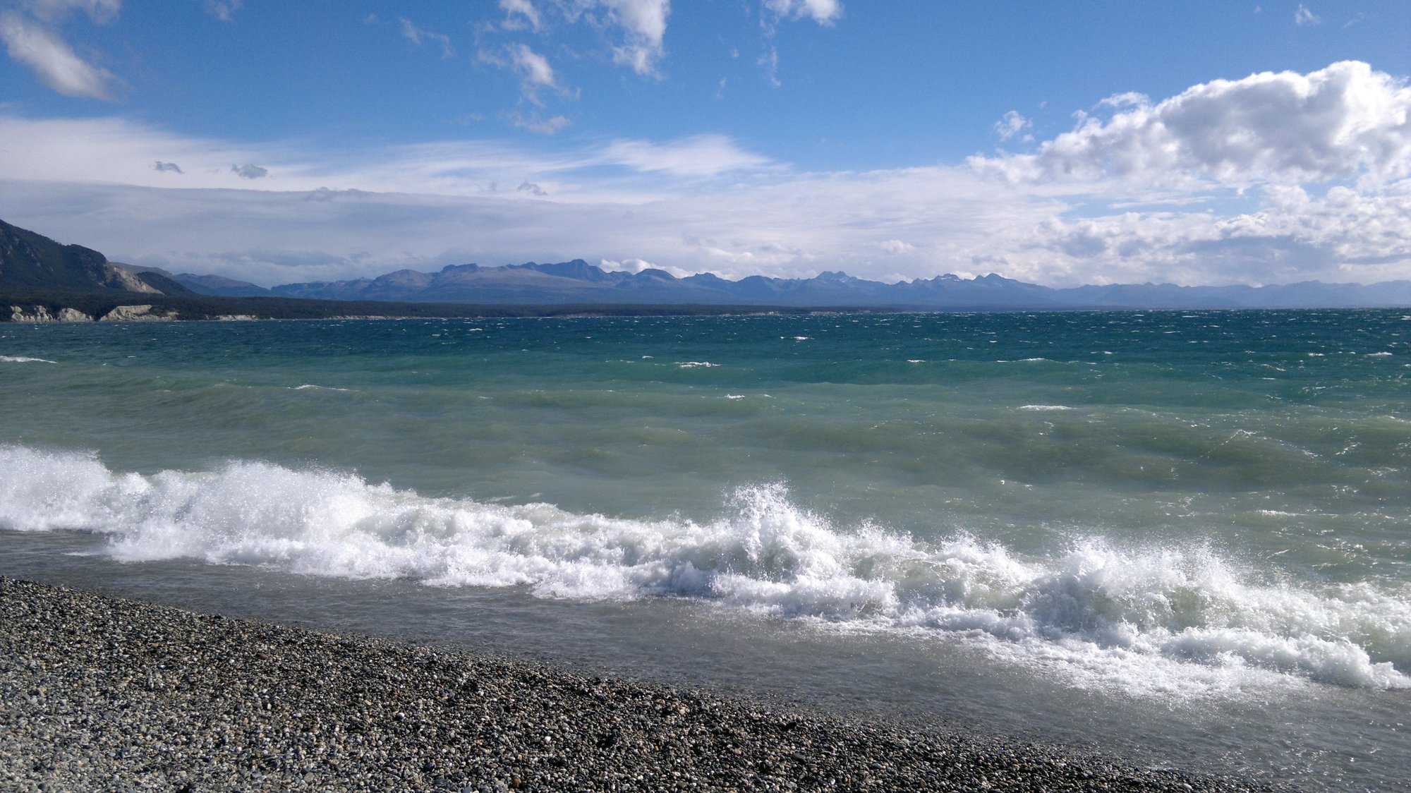
Lago Fagnano
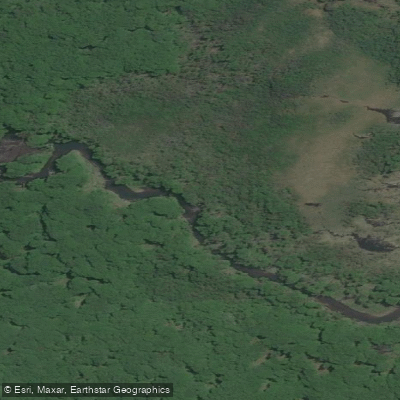
Río Pipo
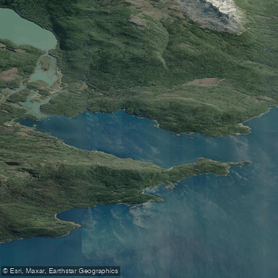
Bahía Lapataia
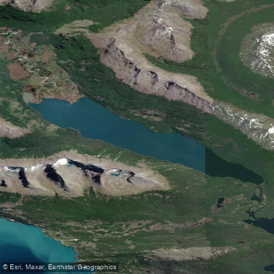
Lago Errázuriz / Lago Roca
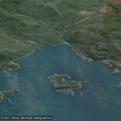
Bahia Ensenada Zaratiegui
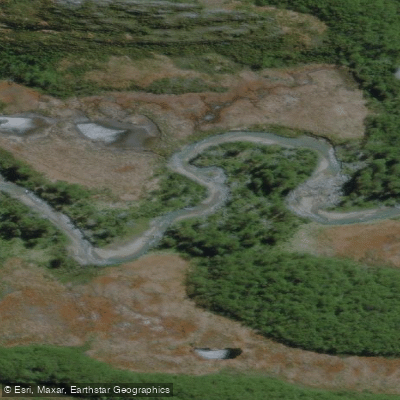
Río Olivia
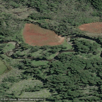
Arroyo Grande
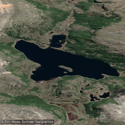
Lago Alto
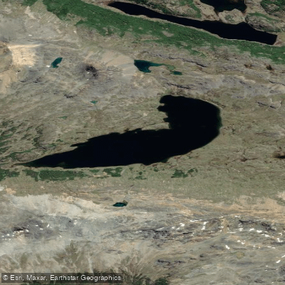
Lago Gásperi
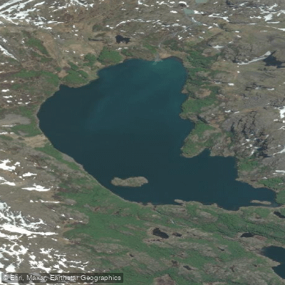
Laguna del Caminante
Water and weather conditions (10 day forecast)
See the best times to paddle Parque Nacional Tierra del Fuego and check the forecast before you go.
No forecast data available.
Paddle smarter with real-time insights
Whether you're en route and conditions shift or you're looking for the best spot based on current flows, we enable you to make informed decisions on the fly.







Paddling near Parque Nacional Tierra del Fuego
Loading...
Gateway towns
Where to base yourself for paddling in Parque Nacional Tierra del Fuego.
- UshuaiaTierra del Fuego
The park's gateway city, just outside the entrance, with hotels, tour operators, guides, and shuttles serving the park.
Explore Parque Nacional Tierra del Fuego
Top paddling waters
Popular Cities
Loading popular cities...

Smarter Paddling Starts in the App.
Paddleways gives you everything you need to plan smarter, paddle better, and own every trip from first launch to takeout.