Balneario Arbolito de Salas
- Saltwater
- Beach
Balneario Arbolito de Salas
- Saltwater
- Beach
- Sq. miles
- 0
- Boat Ramps
- 0
- Access Points
- 0
- Campsites
- 0
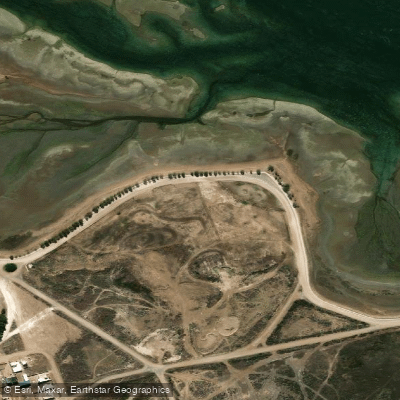
Balneario Arbolito de Salas is a coastal access point on the Río Negro coastline of Argentina, situated approximately 15 kilometers from the town of Las Grutas. It is named for a prominent and locally famous aguaribay tree planted by a fisherman named Oscar Salas, which serves as a key landmark. The site provides direct access to the San Antonio Oeste estuary, locally referred to as "la Marea." This water body is a "ría mansa," or calm estuary, with a significant tidal influence that causes the water level to rise and fall four times daily. The waterway is neither possessing the vastness of the open sea nor the stillness of a pond, but rather as a gentle, embracing course that flows near the town of San Antonio. The shoreline at the Arbolito is a natural beach area, with the historic tree located directly at the water's edge where it was originally planted to moor a wooden boat. The overall character of the area is one of local, everyday use, deeply embedded in the community's history and culture, offering a quieter alternative to the more tourist-focused beaches. The primary paddling environment is the protected, tidal estuary, which would be suitable for kayaks and stand-up paddleboards launched directly from the beach. The regular tidal cycles are a critical consideration for trip planning, affecting both launch conditions and the navigable area. The tree itself and the surrounding coastal landscape are notable sights, with the area considered a picturesque spot within the region.
Water access, boat ramps & amenities
Learn how to get on Balneario Arbolito de Salas. Uncover great paddling access points, boat ramps, and all the facilities you need for an unforgettable day on the water. Some locations shown may border or include private property. Always check property boundaries and applicable regulations before visiting. PaddleWays's Public & Private Land layer can help you plan your access with confidence.
Paddle smarter with real-time insights
Whether you're en route and conditions shift or you're looking for the best spot based on current flows, we enable you to make informed decisions on the fly.







Río Negro licenses and regulations

Find Places to Paddle

Over 400,000 Places to Paddle
Every user gets free access to launch points, boat ramps, and public property parcels.


Tides, wind & water conditions (10 day forecast)
On open water, wind and tide matter as much as the weather. See the best times to paddle Balneario Arbolito de Salas and check the marine forecast before you launch.
Loading tide predictions…
Paddling near Balneario Arbolito de Salas
Río Negro
Laguna Tachuela
Bahía de San Antonio
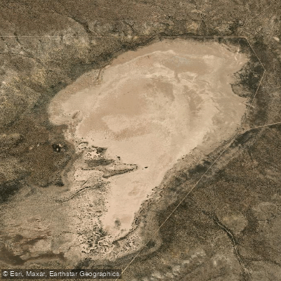
Laguna Grande
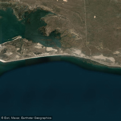
Bahía Ballenas
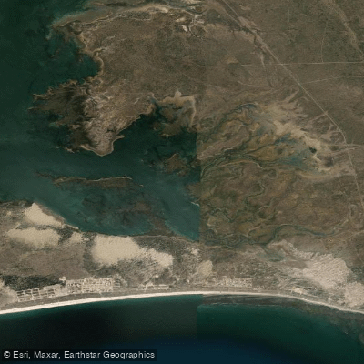
Saco Viejo
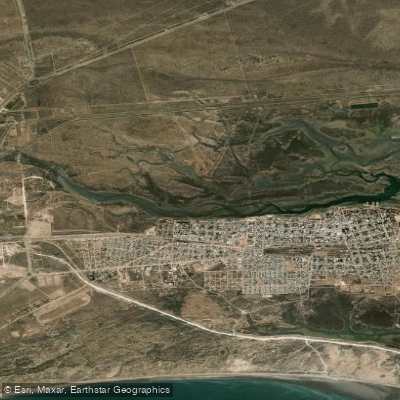
Caleta Oeste
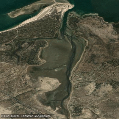
Caleta Falsa
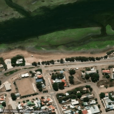
Balneario Los Tamariscos
Explore Río Negro waters
Top paddling waters
No waters available right now.
Popular Cities
Loading popular cities...
Explore near Balneario Arbolito de Salas

Smarter Paddling Starts in the App.
Paddleways gives you everything you need to plan smarter, paddle better, and own every trip from first launch to takeout.