Balneario Los Tamariscos
- Saltwater
- Beach
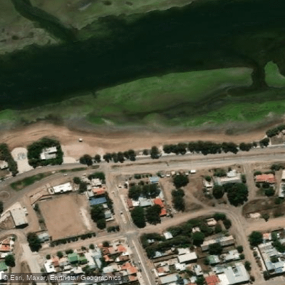
Balneario Los Tamariscos
- Saltwater
- Beach
- Sq. miles
- 0
- Boat Ramps
- 0
- Access Points
- 0
- Campsites
- 0
Balneario Los Tamariscos is a small, sandy public beach approximately 0.56 kilometers in length, situated near San Antonio Oeste in Río Negro Province. The beach is noted for its warm waters and is a popular weekend destination. It is located close to the Heleno Arcangel pier, providing a notable landmark for navigation. Access for paddlers involves carrying watercraft from the beach parking area directly to the shoreline. The beach experiences significant seasonal use, with reservations and crowds peaking during the summer months, particularly around local festivals like the Fiesta de la Marea. The best months to visit for warm weather are January, February, March, and December, with average daytime air temperatures ranging from 27°C to 29°C during this period. Water temperatures follow a seasonal pattern, being warmest in these summer months. The beach's small size and proximity to the pier suggest a relatively sheltered cove environment, though paddlers should be mindful of potential boat traffic near the pier structure. The area's aesthetic is that of a typical Patagonian Atlantic beach, serving as a local recreational hub. Paddlers can explore the open waters of the Gulf of San Matías from this location. Facilities include public access and parking, though the extent of other amenities varies.
Water access, boat ramps & amenities
Learn how to get on Balneario Los Tamariscos. Uncover great paddling access points, boat ramps, and all the facilities you need for an unforgettable day on the water. Some locations shown may border or include private property. Always check property boundaries and applicable regulations before visiting. PaddleWays's Public & Private Land layer can help you plan your access with confidence.
Paddle smarter with real-time insights
Whether you're en route and conditions shift or you're looking for the best spot based on current flows, we enable you to make informed decisions on the fly.







Río Negro licenses and regulations

Find Places to Paddle

Over 400,000 Places to Paddle
Every user gets free access to launch points, boat ramps, and public property parcels.


Tides, wind & water conditions (10 day forecast)
On open water, wind and tide matter as much as the weather. See the best times to paddle Balneario Los Tamariscos and check the marine forecast before you launch.
Loading tide predictions…
Paddling near Balneario Los Tamariscos
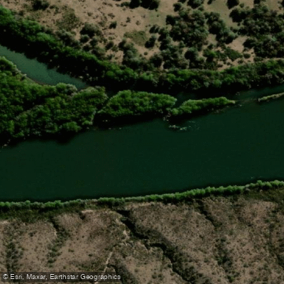
Río Negro
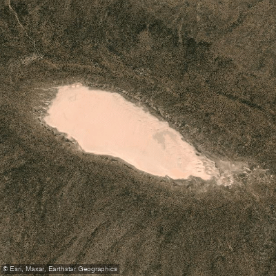
Laguna Tachuela
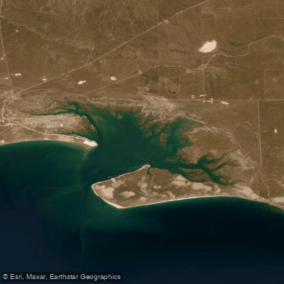
Bahía de San Antonio
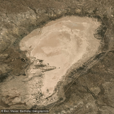
Laguna Grande
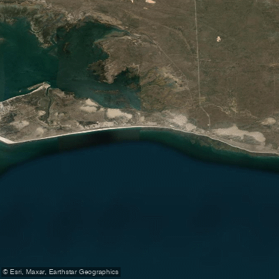
Bahía Ballenas
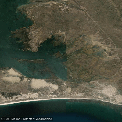
Saco Viejo
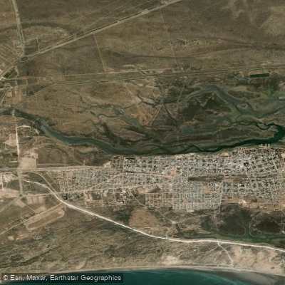
Caleta Oeste
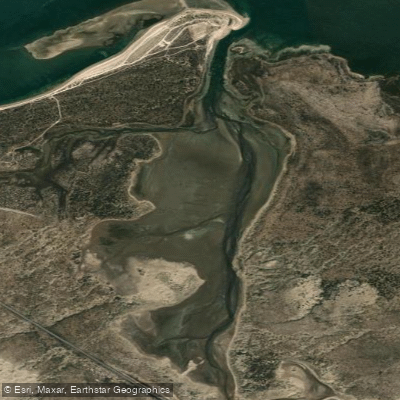
Caleta Falsa
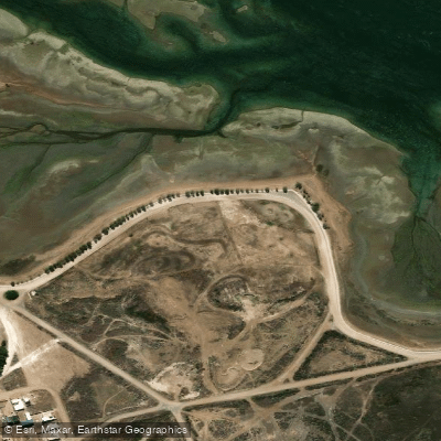
Balneario Arbolito de Salas
Explore Río Negro waters
Top paddling waters
No waters available right now.
Popular Cities
Loading popular cities...
Explore near Balneario Los Tamariscos

Smarter Paddling Starts in the App.
Paddleways gives you everything you need to plan smarter, paddle better, and own every trip from first launch to takeout.