Playa Orengo
- Saltwater
- Beach
- Coast
- Saltwater
- Beach
- Coast
- Boat Ramps
- 0
- Access Points
- 0
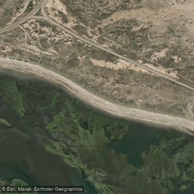
Playa Orengo is a coastal beach located a few kilometers north of the route leading to the port of San Antonio Este, in the Río Negro province of Argentina, near the town of Las Grutas. Access to the beach is via a 14-kilometer gravel road from the main coastal route, which requires a suitable vehicle. This is a known launch point for small artisanal fishing boats, indicating a shore-based launch for paddlers. The area is exposed to the open sea of the North Patagonian Gulf, making it susceptible to wind and waves. The beach is situated near Caleta de los Loros, a notable coastal feature that serves as a potential paddling destination and was the last known position of a missing fishing vessel, highlighting the area's exposure. The water body is part of a region known for mussel harvesting and is used for diving, suggesting clear water and underwater sights of interest for paddlers on the surface. The aesthetic is that of a remote Patagonian beach. Paddlers must be aware that this is an active area for commercial and artisanal fishing boat traffic, particularly from the nearby port of San Antonio Oeste, which necessitates high situational awareness on the water. Prefectura Naval Argentina conducts frequent maritime and aerial patrols in this zone, focusing on safety and regulatory compliance for all vessels. All navigation falls under the oversight of this maritime authority. Paddlers should be prepared for significant self-sufficiency, as the remote access suggests a lack of immediate facilities or amenities at the beach itself. The region's climate should be considered when planning trips. Water temperatures are cool year-round, typical of the Patagonian coast.
Hazards
Hazards on Playa Orengo
No hazards are marked on Playa Orengo yet. That is not the same as none being there: if you find one, report it for the next paddler.
From the community
Playa Orengo trip reports
Nobody has shared a trip on Playa Orengo yet. Paddle it, then tell the next paddler how it went.
Tides, wind & water conditions (10 day forecast)
On open water, wind and tide matter as much as the weather. See the best times to paddle Playa Orengo and check the marine forecast before you launch.
Loading tide predictions…
Paddle smarter with real-time insights
Live flows, marked hazards and fresh trip reports from paddlers who were just on the water, all in one place.







Find Places to Paddle

Over 400,000 Places to Paddle
Every user gets free access to launch points, boat ramps, and public property parcels.


Río Negro licenses and regulations

Paddling near Playa Orengo
Río Negro
Laguna Tachuela
Bahía de San Antonio
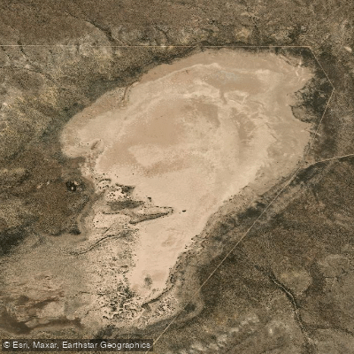
Laguna Grande
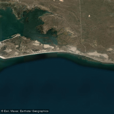
Bahía Ballenas
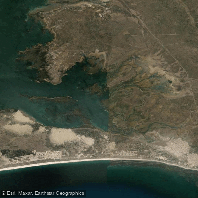
Saco Viejo
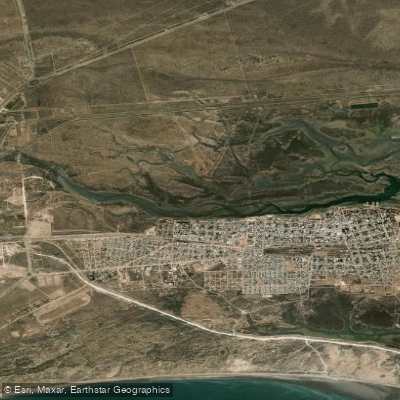
Caleta Oeste
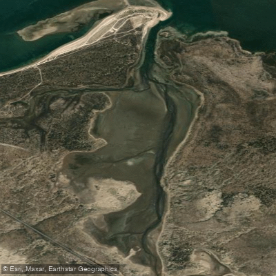
Caleta Falsa
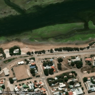
Balneario Los Tamariscos
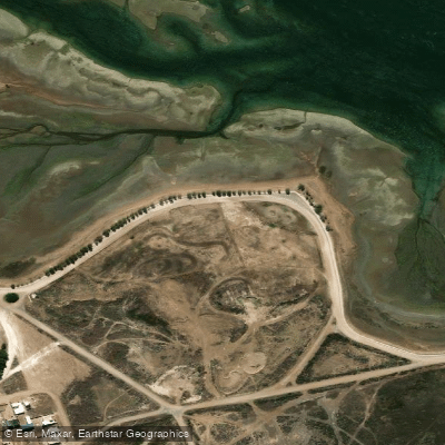
Balneario Arbolito de Salas
Explore Río Negro waters
Top paddling waters
No waters available right now.
Explore near Playa Orengo
Smarter Paddling Starts in the App.
PaddleWays gives you everything you need to plan smarter, paddle better, and own every trip from first launch to takeout.