Laguna La Loca
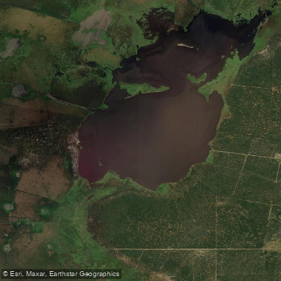
Laguna La Loca
- Boat Ramps
- 0
- Access Points
- 0
- Campsites
- 0
Laguna La Loca is a large lake located in the center-north of Departamento Vera, in the province of Santa Fe, Argentina, at an altitude of 54 meters. It covers approximately 2,169 hectares and belongs to the Golondrina-Calchaquí arroyo system, which drains into the Río Paraná basin. The lake is notable for an annual water level fluctuation of 9.5 meters, a variation that has significant implications for trip planning, as accessible shorelines, launch points, and overall paddleable area can change dramatically depending on the hydrological cycle.
The nearest access point is the town of Colmena, located on Ruta Provincial 3, from which the lake is reached by traveling 15 kilometers west along Ruta Provincial 83. Alternatively, the lake can be approached from Fortín Olmos, on Ruta Provincial 42, traveling 50 kilometers to the northeast.
The lake and its surroundings form part of the Reserva Provincial La Loca, established on March 29, 1968 under provincial Law 6404/68. The reserve encompasses the southern sector of the lake and a forested mosaic along its southeastern margins. The surrounding vegetation is characteristic of the Chaco region, with gallery forest dominated by quebracho colorado chaqueño, guayaibí, guayacán, and viraró at higher elevations, transitioning to lower forest of algarrobos and molle trementina, with dense stands of bromeliads including caraguatá and chaguar in the thickest wooded areas.
The reserve is currently in a state of semi-abandonment. Infrastructure that previously existed — including perimeter fencing, firebreaks, and a caretaker's residence — is in unknown condition. Only a sign marking the protected area status is present. Paddlers should plan accordingly, as on-site support or facilities cannot be relied upon. An additional long-term concern for the lake's hydrology is the potential channelization of waterways in northern Santa Fe, which could alter the lake's normal water regime over time.
Water access, boat ramps & amenities
Learn how to get on Laguna La Loca. Uncover great paddling access points, boat ramps, and all the facilities you need for an unforgettable day on the water. Some locations shown may border or include private property. Always check property boundaries and applicable regulations before visiting. PaddleWays's Public & Private Land layer can help you plan your access with confidence.
Paddle smarter with real-time insights
Whether you're en route and conditions shift or you're looking for the best spot based on current flows, we enable you to make informed decisions on the fly.







Santa Fe licenses and regulations

Find Places to Paddle

Over 400,000 Places to Paddle
Every user gets free access to launch points, boat ramps, and public property parcels.


Water and weather conditions (10 day forecast)
See the best times to paddle Laguna La Loca and check the forecast before you go.
No forecast data available.
Paddling near Laguna La Loca

Río Paraná
Río San Javier
Río Paraná
Río Santa Lucía
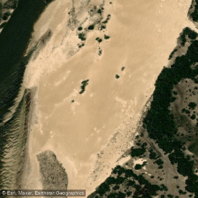
Río Corrientes
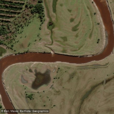
Arroyo Batel
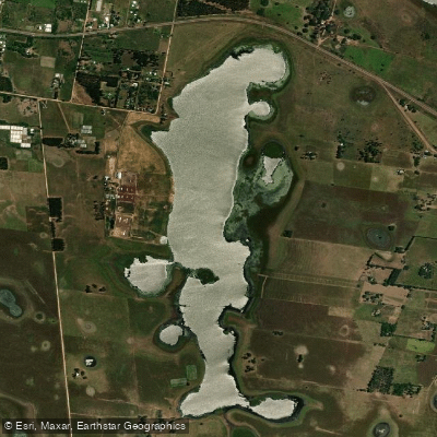
Laguna Pucú
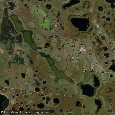
Laguna Pucú
Explore Santa Fe waters
Top paddling waters
No waters available right now.
Popular Cities
Loading popular cities...
Explore near Laguna La Loca
Nearby waters
More in Santa Fe

Smarter Paddling Starts in the App.
Paddleways gives you everything you need to plan smarter, paddle better, and own every trip from first launch to takeout.