Embalse El Cadillal
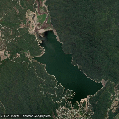
Embalse El Cadillal
- Boat Ramps
- 0
- Access Points
- 0
- Campsites
- 0
Embalse El Cadillal, also known as Dique Celestino Gelsi, is the largest reservoir in the province of Tucumán, Argentina. It sits on the Río Salí, approximately 20 kilometers north of San Miguel de Tucumán, along Ruta Provincial 347. At maximum capacity, the reservoir covers roughly 1,283 hectares, making it the second-largest body of water in Tucumán after the portion of Embalse de Río Hondo shared with the neighboring province of Santiago del Estero. The water takes on a notably emerald color, and the surrounding landscape features mountains that provide a dramatic visual backdrop.
The reservoir is a well-established recreational destination and supports a range of water activities. Kayaking is available through organized tours, with operators such as SW Tucuman Aventuras offering guided excursions using single, double, or triple kayaks. Participants receive equipment and a brief orientation before setting out to explore the shoreline at their own pace. Catamaran rides are also offered, during which guides provide historical context about the dam. Pejerrey fishing is a popular activity on the water as well.
The shoreline includes beach areas where swimming is permitted, and the site functions as a broader recreational complex — Complejo Turístico El Cadillal — with amenities that support day visitors. A zipline (tirolesa) operates near the dam, and when water levels are high, the zipline passes directly over the reservoir. Water levels fluctuate seasonally with rainfall; after significant rains, the reservoir can approach its maximum elevation of 607 meters above sea level.
From a water quality standpoint, the reservoir serves as the primary drinking water source for the greater San Miguel de Tucumán area, supplying approximately 56% of the city's potable water. A water treatment plant is located immediately downstream of the dam. Sediment accumulation and the adequacy of the intake infrastructure have been concerns in technical assessments, though the reservoir continues to function as both a water supply and recreational resource.
The small town of El Cadillal lines both sides of Ruta Provincial 347 along the reservoir's edge, offering proximity to the water and basic visitor services. The site ranks among the top tourist attractions in the San Miguel de Tucumán area and draws consistent visitor traffic throughout the year.
Water access, boat ramps & amenities
Learn how to get on Embalse El Cadillal. Uncover great paddling access points, boat ramps, and all the facilities you need for an unforgettable day on the water. Some locations shown may border or include private property. Always check property boundaries and applicable regulations before visiting. PaddleWays's Public & Private Land layer can help you plan your access with confidence.
Paddle smarter with real-time insights
Whether you're en route and conditions shift or you're looking for the best spot based on current flows, we enable you to make informed decisions on the fly.







Tucumán licenses and regulations

Find Places to Paddle

Over 400,000 Places to Paddle
Every user gets free access to launch points, boat ramps, and public property parcels.


Water and weather conditions (10 day forecast)
See the best times to paddle Embalse El Cadillal and check the forecast before you go.
No forecast data available.
Paddling near Embalse El Cadillal
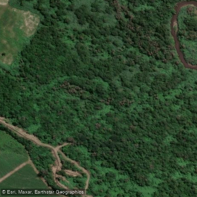
Río Lules
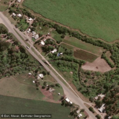
Arroyo Mista
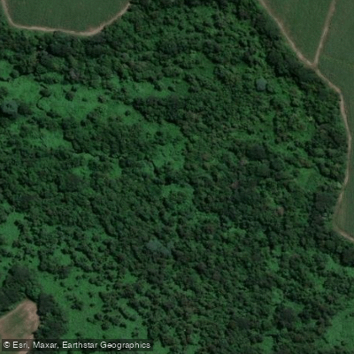
Arroyo Calimayo
Río Loro
Río Los Sosa
Río Ancajuli
Río Santa María
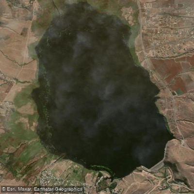
Embalse La Angostura
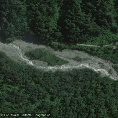
Río Pueblo Viejo
Explore Tucumán waters
Top paddling waters
No waters available right now.
Popular Cities
Loading popular cities...
Explore near Embalse El Cadillal

Smarter Paddling Starts in the App.
Paddleways gives you everything you need to plan smarter, paddle better, and own every trip from first launch to takeout.