Copmanhurst Boat Ramp
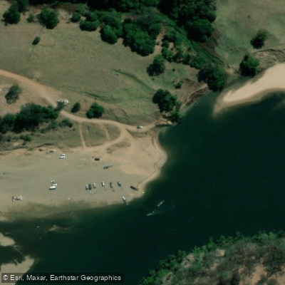
Copmanhurst Boat Ramp
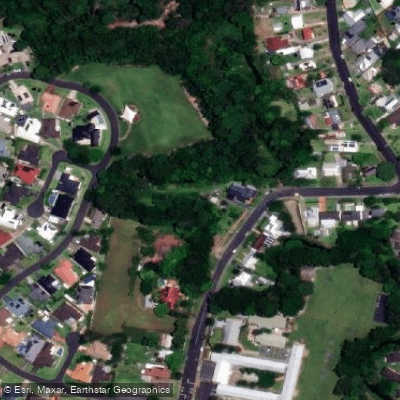
The Copmanhurst Boat Ramp sits on the Clarence River in Copmanhurst, New South Wales, roughly 30 minutes northwest of Grafton.
It marks the practical upstream limit for motorised boating on the Clarence, as rapids beyond this point prevent further river travel.
The ramp is also the downstream terminus of the Clarence Canoe & Kayak Trail, the longest mapped whitewater trail in Australia, which stretches more than 195 km from Nymboi-Binderay National Park.
The site adjoins the Copmanhurst Recreational Reserve and offers free camping beside the river. The surrounding area features sandy beaches and good fishing. A short walk leads into the small township of Copmanhurst.
Nearby points of interest
Find excellent paddling spots, easy access to boat ramps, and all the amenities you need for a memorable day. Your adventure starts here.
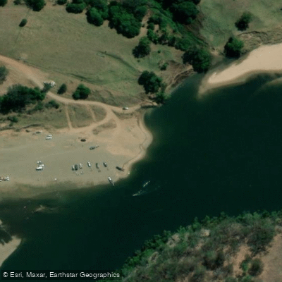
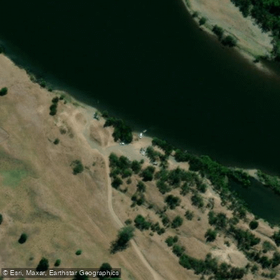
Water and weather conditions (10 day forecast)
Check the forecast at Copmanhurst Boat Ramp before you go paddling.
No forecast data available.
Paddling near Copmanhurst Boat Ramp
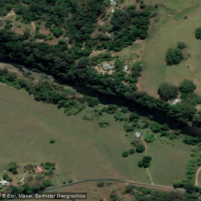
Bellinger River
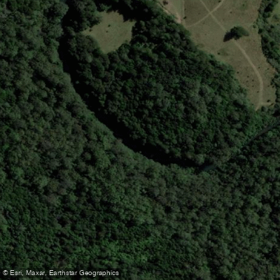
Bobo River
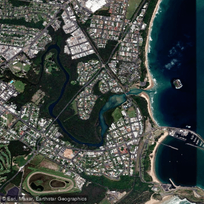
Coffs Harbour Creek
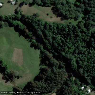
Kalang River
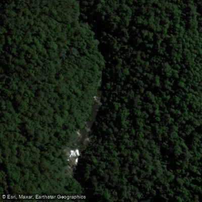
Little Nymboida River
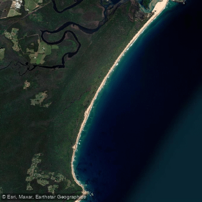
Bonville
Bonville Creek
Pine Creek
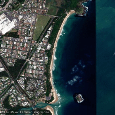
Park Beach
Coffs Creek
New South Wales licenses and regulations
Explore New South Wales waters
Top paddling waters
No waters available right now.
Popular Cities
Loading popular cities...
Explore near Copmanhurst Boat Ramp

Smarter Paddling Starts in the App.
Paddleways gives you everything you need to plan smarter, paddle better, and own every trip from first launch to takeout.