Bobs Creek
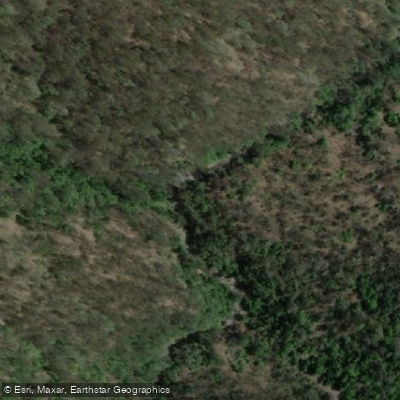
Bobs Creek
- Boat Ramps
- 0
- Access Points
- 0
- Campsites
- 0
Bobs Creek is accessed from Queens Lake, a larger body of water on the mid-north coast of New South Wales. Paddlers typically reach the creek by launching onto Queens Lake and paddling around the lake's perimeter to the creek entrance, often in combination with visits to other nearby waterways such as Waterloo Creek and Limeburners Creek.
The defining feature of Bobs Creek is its submerged tree graveyard — a dense collection of dead trees lying just below the water's surface at a wide variety of angles. These submerged trunks and branches glow with a soft yellow-green hue when sunlight filters through the water, creating a visually striking environment. However, this same feature presents a significant hazard: the trees are described as lying "menacingly and deceptively" just beneath the surface and can trap paddlers who are not attentive. The navigability of the creek is highly dependent on water levels — getting the water height right is essential to safely threading through the submerged timber. Fallen timber above the surface also blocks progress at some point along the creek, limiting how far paddlers can travel.
The paddle through Bobs Creek is generally leisurely in character, suited to exploratory paddling rather than distance or speed. The creek is narrower and more debris-laden than nearby Limeburners Creek, which offers a wider and cleaner alternative for those seeking a different experience on the same outing. A multi-creek route taking in Waterloo Creek, Bobs Creek, and Limeburners Creek is a practical day trip option from Queens Lake, with the latter also accessible via Stingray Creek when water levels permit.
The surrounding area includes views toward North Brother mountain, visible as paddlers exit Limeburners Creek. The Queens Lake area sits within a nature reserve, contributing to the natural character of the paddling environment. Wildlife and vegetation typical of coastal NSW wetlands are present in the broader lake system, though specific species are not documented.
Water access, boat ramps & amenities
Learn how to get on Bobs Creek. Uncover great paddling access points, boat ramps, and all the facilities you need for an unforgettable day on the water. Some locations shown may border or include private property. Always check property boundaries and applicable regulations before visiting. PaddleWays's Public & Private Land layer can help you plan your access with confidence.
Paddle smarter with real-time insights
Whether you're en route and conditions shift or you're looking for the best spot based on current flows, we enable you to make informed decisions on the fly.








Find Places to Paddle

Over 400,000 Places to Paddle
Every user gets free access to launch points, boat ramps, and public property parcels.


Water and weather conditions (10 day forecast)
See the best times to paddle Bobs Creek and check the forecast before you go.
No forecast data available.
Paddling near Bobs Creek
Bellinger River
Bobo River
Coffs Harbour Creek
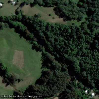
Kalang River
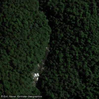
Little Nymboida River
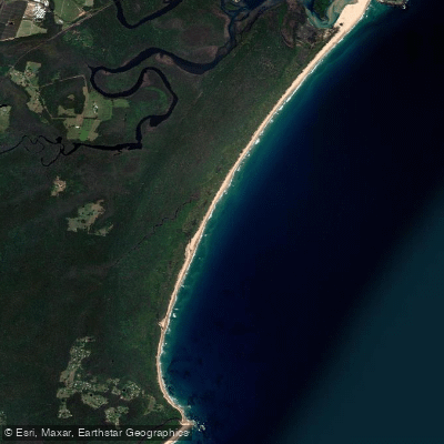
Bonville
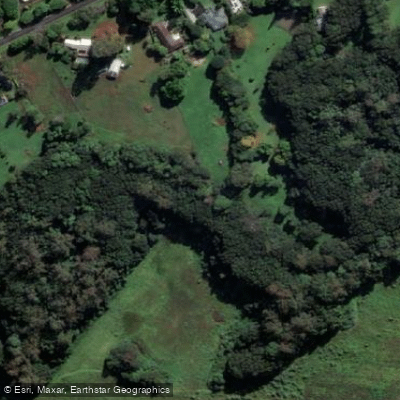
Bonville Creek
Pine Creek
Park Beach
Coffs Creek
Explore New South Wales waters
Top paddling waters
No waters available right now.
Popular Cities
Loading popular cities...
Explore near Bobs Creek

Smarter Paddling Starts in the App.
Paddleways gives you everything you need to plan smarter, paddle better, and own every trip from first launch to takeout.