Bonville Creek
- Saltwater
- Estuary
- Coast
- Saltwater
- Estuary
- Coast
- Boat Ramps
- 0
- Access Points
- 0
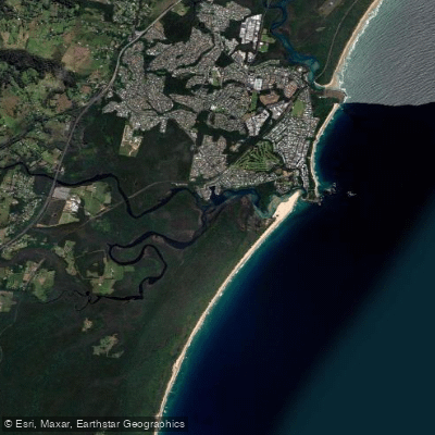
Bonville Creek is a saltwater estuary within Bongil Bongil National Park, near Sawtell and a short drive south of Coffs Harbour. The primary launch point for paddlers is the Sawtell Boat Ramp, located on Lyons Road, which provides direct access to the creek. An alternative launch is available from a pontoon at the Bongil picnic area within the park. The creek offers a tranquil, sheltered paddling environment suitable for canoeists, kayakers, and stand-up paddle boarders of all skill levels. The surrounding native bushland creates a sense of remoteness despite proximity to local villages. For a longer, more adventurous one-way trip, paddlers can launch in the upper reaches of Pine Creek, a tributary, and paddle downstream to the Bonville Creek boat ramp. This route, taking at least two hours, passes through riparian vegetation and serene countryside but may require portaging over fallen trees; access to the upper launch point near Burma Road can require a 4WD vehicle depending on road conditions, necessitating a car shuttle. The mouth of the creek is a nesting area for shorebirds like little terns and pied oystercatchers, and the area attracts other birdlife such as cormorants, whistling kites, ospreys, kingfishers, and rainbow bee-eaters. The park is always open but may close temporarily due to poor weather or fire danger. The area does not cater for people with access needs.
Hazards
Hazards on Bonville Creek
No hazards are marked on Bonville Creek yet. That is not the same as none being there: if you find one, report it for the next paddler.
From the community
Bonville Creek trip reports
Nobody has shared a trip on Bonville Creek yet. Paddle it, then tell the next paddler how it went.
Tides, wind & water conditions (10 day forecast)
On open water, wind and tide matter as much as the weather. See the best times to paddle Bonville Creek and check the marine forecast before you launch.
Loading tide predictions…
Paddle smarter with real-time insights
Live flows, marked hazards and fresh trip reports from paddlers who were just on the water, all in one place.







Find Places to Paddle

Over 400,000 Places to Paddle
Every user gets free access to launch points, boat ramps, and public property parcels.



Paddling near Bonville Creek
Bellinger River
Bobo River
Coffs Harbour Creek
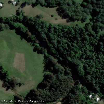
Kalang River
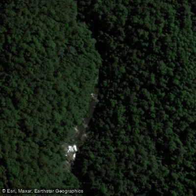
Little Nymboida River
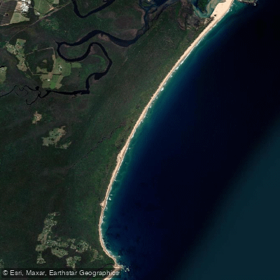
Bonville
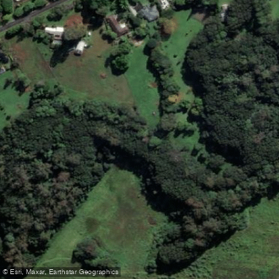
Bonville Creek
Pine Creek
Park Beach
Coffs Creek
Explore New South Wales waters
Top paddling waters
No waters available right now.
Explore near Bonville Creek

Smarter Paddling Starts in the App.
PaddleWays gives you everything you need to plan smarter, paddle better, and own every trip from first launch to takeout.