Cattai Creek
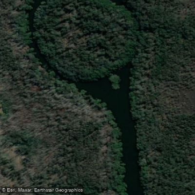
Cattai Creek
- Boat Ramps
- 0
- Access Points
- 0
- Campsites
- 0
Cattai Creek is a quiet tidal waterway located northwest of Sydney, flowing into the eastern bank of the Hawkesbury River approximately 12 kilometres downstream from Windsor. The creek passes through Cattai National Park and connects to Scheyville National Park upstream, offering paddlers a transition from rural farmland into wild bushland. The creek is wide enough for kayaks and canoes throughout much of its navigable length.
A 4-knot speed limit applies on Cattai Creek, which effectively keeps power boats off the water and makes it a calm paddling environment. This contrasts with the adjacent Hawkesbury River, where ski and wake boats are common between October and April. Paddlers should be aware that the creek is tidal, with Windsor high tides running approximately 5 hours and 15 minutes behind Fort Denison, and low tides about 5 hours and 50 minutes behind. Planning a launch near high tide is advisable to ensure adequate water depth throughout the creek.
The primary access point is at Catti Road Bridge Reserve off Cattai Road, where Hawkesbury City Council installed kayak and canoe launching steps in February 2024. A boat ramp and off-street parking are available, with a walk of up to 200 metres to the water. Additional launch options exist at Mitchell Park and Cattai campground within Cattai National Park, though these require a national parks entry fee and are subject to opening hours. A kayak launch platform is also reported on the downstream side of the Cattai Road bridge.
From the Cattai Road bridge, paddlers can head downstream roughly 6.5 kilometres to reach the Hawkesbury River and Cattai National Park, or paddle upstream toward Mitchell Park in Scheyville National Park. A longer trip of 13 kilometres along the Hawkesbury from Cattai National Park to Sackville Ski Park is also possible, rated Grade I throughout.
Wildlife along the creek is notable, with water dragons, goannas, whipbirds, kingfishers, brown thornbills, and numerous other bird species reported along the vegetated banks. The creek passes sandstone cliff faces up to approximately 10 metres high that extend for several hundred metres, and the banks are lined with thick native vegetation. The overall character of the paddle is quiet and relatively sheltered, suited to paddlers of most experience levels.
Water access, boat ramps & amenities
Learn how to get on Cattai Creek. Uncover great paddling access points, boat ramps, and all the facilities you need for an unforgettable day on the water. Some locations shown may border or include private property. Always check property boundaries and applicable regulations before visiting. PaddleWays's Public & Private Land layer can help you plan your access with confidence.
Paddle smarter with real-time insights
Whether you're en route and conditions shift or you're looking for the best spot based on current flows, we enable you to make informed decisions on the fly.








Find Places to Paddle

Over 400,000 Places to Paddle
Every user gets free access to launch points, boat ramps, and public property parcels.


Water and weather conditions (10 day forecast)
See the best times to paddle Cattai Creek and check the forecast before you go.
No forecast data available.
Paddling near Cattai Creek
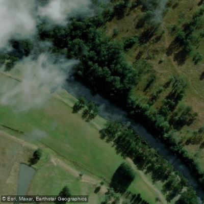
Hastings River
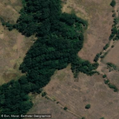
Herons Creek
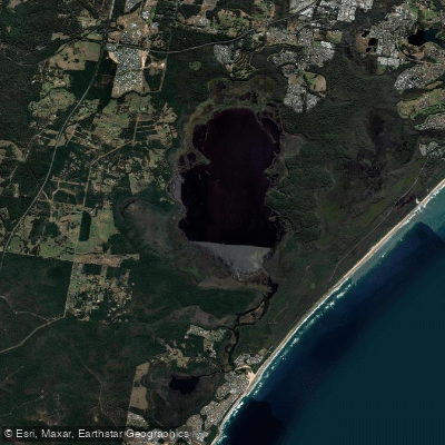
Lake Cathie/Innes
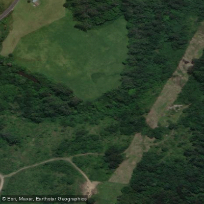
Camden Haven River
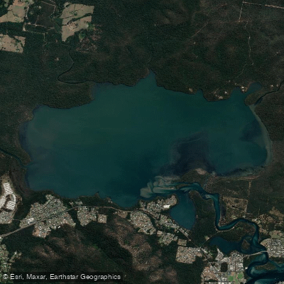
Queens Lake
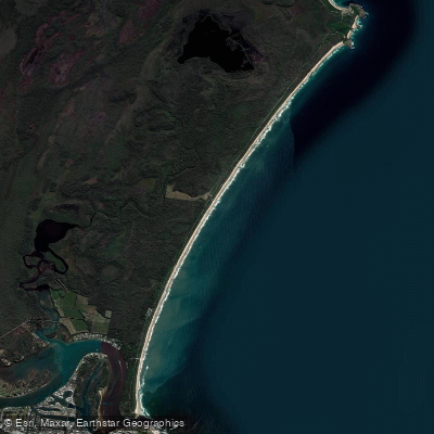
North Shore Beach
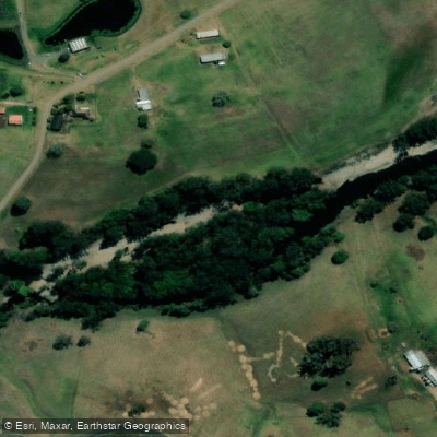
Wilson River
Maria River
Lighthouse Beach
Limeburners Creek
Explore New South Wales waters
Top paddling waters
No waters available right now.
Popular Cities
Loading popular cities...
Explore near Cattai Creek

Smarter Paddling Starts in the App.
Paddleways gives you everything you need to plan smarter, paddle better, and own every trip from first launch to takeout.