Clarence River
- Saltwater
- Estuary
Clarence River
- Saltwater
- Estuary
- Sq. miles
- 128
- Boat Ramps
- 10
- Access Points
- 1
- Campsites
- 1
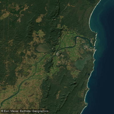
The Clarence River in the Clarence Valley of New South Wales is a significant coastal estuary system and is the focal point for Australia's longest whitewater trail, which spans 195 kilometers along the Clarence, Mann, and Nymboida rivers. This extensive trail offers a wide range of conditions, from calm, gentle sections with long pools and gravel races to some of the country's most challenging Grade Five rapids, particularly in its upper reaches. The paddling route officially begins at the junction of the Nymboida and Little Nymboida rivers and concludes at Copmanhurst on the Clarence River. The river flows through a landscape of lush countryside and world heritage-listed rainforest reserves, eventually meeting the sea between the coastal towns of Iluka and Yamba. Key towns along its banks include Grafton, Maclean, Ulmarra, Iluka, and Yamba, with Clarence River Ferries providing a crossing between Iluka and Yamba at the estuary mouth. A detailed map kit for the canoe and kayak trail outlines access points, recommended skill levels for specific sections, safety information regarding rapids, and accommodation options along the route. The overall character of the experience varies dramatically from adventurous whitewater in the hinterland to broader, more tranquil estuarine conditions nearer the coast. The region hosts paddling events such as the Clarence 100, a multi-day marathon paddle. The river is also used by other vessels, including houseboats and sailing clubs, indicating shared waterway use. The Clarence Valley is recognized for its rich cultural history, encompassing the traditions of the Bundjalung, Gumbaynggirr, and Yaegl traditional owners.
Water access, boat ramps & amenities
Learn how to get on Clarence River. Uncover great paddling access points, boat ramps, and all the facilities you need for an unforgettable day on the water. Some locations shown may border or include private property. Always check property boundaries and applicable regulations before visiting. PaddleWays's Public & Private Land layer can help you plan your access with confidence.
Paddle smarter with real-time insights
Whether you're en route and conditions shift or you're looking for the best spot based on current flows, we enable you to make informed decisions on the fly.








Find Places to Paddle

Over 400,000 Places to Paddle
Every user gets free access to launch points, boat ramps, and public property parcels.


Tides, wind & water conditions (10 day forecast)
On open water, wind and tide matter as much as the weather. See the best times to paddle Clarence River and check the marine forecast before you launch.
Loading tide predictions…
Paddling near Clarence River
Bellinger River
Bobo River
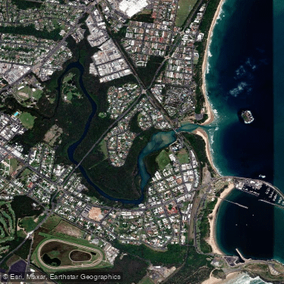
Coffs Harbour Creek
Kalang River
Little Nymboida River
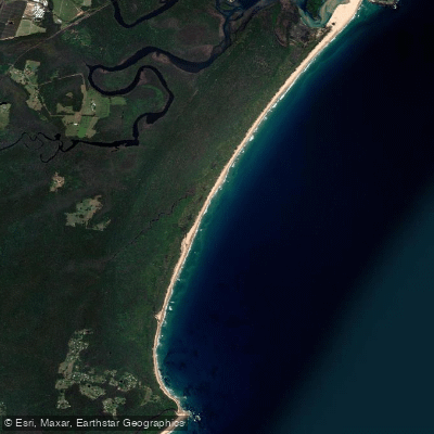
Bonville
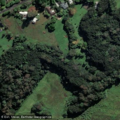
Bonville Creek
Pine Creek
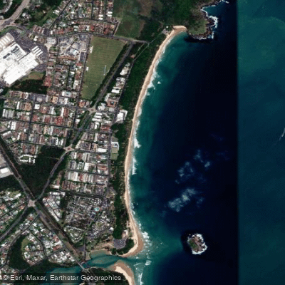
Park Beach
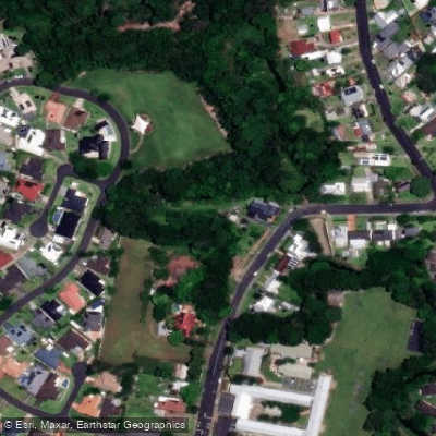
Coffs Creek
Explore New South Wales waters
Top paddling waters
No waters available right now.
Popular Cities
Loading popular cities...
Explore near Clarence River
Access points
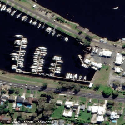
- Charlie Ryan Park Boat Ramp
- Crown Hotel Boat Ramp (Alt. Junction Hill)
- Ilarwil Boat Ramp
- Iluka Boat Ramp
- Lawrence - Clarence River
- River Street Boat Ramp
- The Anchorage - Clarence River
- Through Street Boat Ramp
- Yamba Boat Ramp (East Of Fishing Club Ramp)
- Yamba Rd Boat Ramp, (Opp Golding St)
- Yamba Marina
- Clarence River Campers Paradise
Nearby waters
More in New South Wales

Smarter Paddling Starts in the App.
Paddleways gives you everything you need to plan smarter, paddle better, and own every trip from first launch to takeout.