Clouds Creek
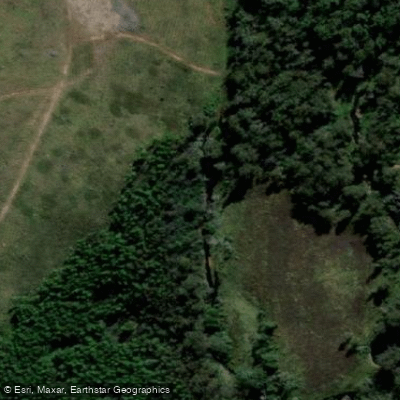
Clouds Creek
- Boat Ramps
- 0
- Access Points
- 0
- Campsites
- 0
Clouds Creek is a perennial stream located in the Northern Tablelands region of New South Wales, Australia, forming part of the Clarence River catchment. The water body flows through the Clouds Creek State Forest, as indicated by topographic maps and access descriptions. For paddlers, access involves entering the Clouds Creek State Forest and driving as far as possible along forest roads, with a specific drop-in point suggested at coordinates -30.040061. The surrounding area features scenic plains and is accessed via 4WD trails such as Chapmans Plain Road, which is noted as an easy route suitable for beginners, with a gentle 6% grade over 3.1 kilometers. The overall character of the paddling experience is shaped by its location within a state forest, suggesting a natural, forested environment. The perennial nature of the creek indicates it likely holds water year-round. No specific paddling restrictions, regulations, recommended routes, or facilities for paddlers are mentioned. The area's notable sights include the forest itself and the adjacent scenic plains. Wildlife and natural features would be consistent with a New South Wales state forest ecosystem, but no specific species or landmarks are detailed. The creek's size and shape are not quantitatively described, nor is its historical or cultural significance.
Water access, boat ramps & amenities
Learn how to get on Clouds Creek. Uncover great paddling access points, boat ramps, and all the facilities you need for an unforgettable day on the water. Some locations shown may border or include private property. Always check property boundaries and applicable regulations before visiting. PaddleWays's Public & Private Land layer can help you plan your access with confidence.
Paddle smarter with real-time insights
Whether you're en route and conditions shift or you're looking for the best spot based on current flows, we enable you to make informed decisions on the fly.








Find Places to Paddle

Over 400,000 Places to Paddle
Every user gets free access to launch points, boat ramps, and public property parcels.


Water and weather conditions (10 day forecast)
See the best times to paddle Clouds Creek and check the forecast before you go.
Clouds Creek At Clouds Creek
All Flow Stations
Paddling near Clouds Creek
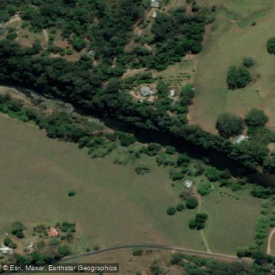
Bellinger River
Bobo River
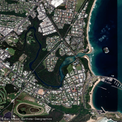
Coffs Harbour Creek
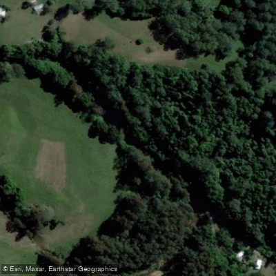
Kalang River
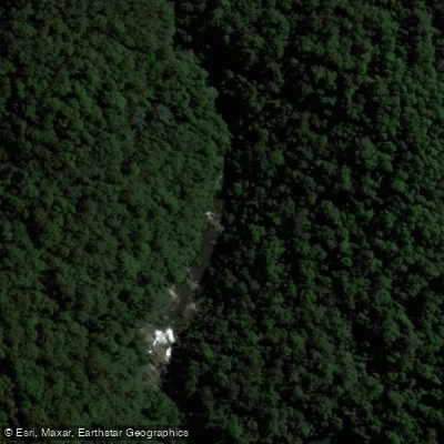
Little Nymboida River
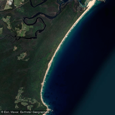
Bonville
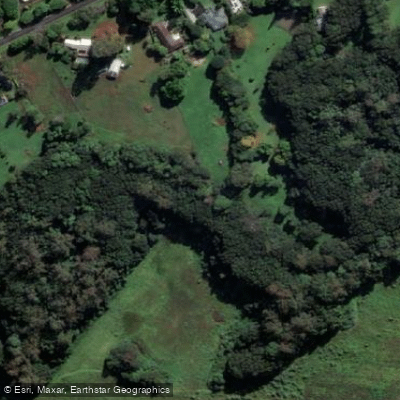
Bonville Creek
Pine Creek
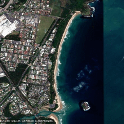
Park Beach
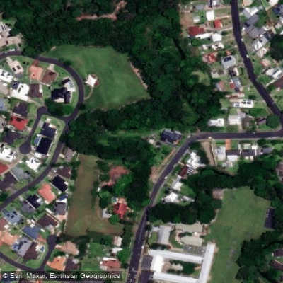
Coffs Creek
Explore New South Wales waters
Top paddling waters
No waters available right now.
Popular Cities
Loading popular cities...
Explore near Clouds Creek

Smarter Paddling Starts in the App.
Paddleways gives you everything you need to plan smarter, paddle better, and own every trip from first launch to takeout.