Colo River
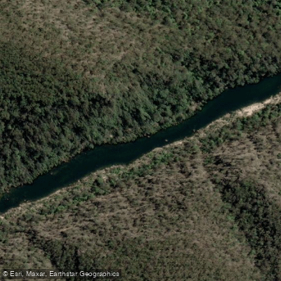
Colo River
- Boat Ramps
- 1
- Access Points
- 0
- Campsites
- 4
The Colo River flows through a wilderness area roughly 90 minutes from Sydney's CBD, entering the Hawkesbury River at a point known as Skeleton Rocks near Lower Portland. The river drains a largely undeveloped catchment, and the water quality reflects this — paddlers have described it as exceptionally clear, with clean white sand visible on the riverbed. The water runs warm in summer, with temperatures recorded around 31°C during the New Year period.
The river's character varies significantly depending on which section is paddled. The lower reach, from the Upper Colo Bridge down to Skeleton Rocks, covers approximately 23 kilometres and is current-driven with no significant rapids, making it accessible to recreational kayakers and canoeists. Because the current makes upstream return impractical, a car shuttle is necessary for this section. The upper wilderness section, from Canoe Creek to Bob Turner's Track, is a more demanding multi-day packraft or lilo trip featuring grade 2 and grade 3 rapids, including King Rapid — a significant feature that most paddlers portage due to a difficult dogleg. Below King Rapid there are two notable grade 3 rapids before the river eases into long tranquil pools.
Water levels are critical for planning. The river responds quickly to rainfall, typically peaking 24 to 36 hours after a rain event and falling rapidly. On the upper section, a gauge reading of around 1.5 metres at the put-in is considered a workable minimum, with 1.8 metres regarded as close to ideal. On the lower section, a gauge reading of 82 centimetres at Upper Colo is considered low, and at that level paddlers should expect shallow sandbars and the possibility of grounding. Quicksand has been noted as a hazard — standing in certain sandy sections can result in sinking rapidly.
Access to the lower section is via the Upper Colo Bridge (rebuilt after flood damage in 2021) for the put-in, with take-out at Skeleton Rocks. The Lower Portland ferry crossing provides an alternative route to the area. Guided kayak tours are available from the confluence of the Colo and Hawkesbury Rivers, covering 8.5 kilometres over approximately four hours, with a minimum age of 16. Canoeing, kayaking, and paddleboarding are all permitted on the river.
Water access, boat ramps & amenities
Learn how to get on Colo River. Uncover great paddling access points, boat ramps, and all the facilities you need for an unforgettable day on the water. Some locations shown may border or include private property. Always check property boundaries and applicable regulations before visiting. PaddleWays's Public & Private Land layer can help you plan your access with confidence.
Paddle smarter with real-time insights
Whether you're en route and conditions shift or you're looking for the best spot based on current flows, we enable you to make informed decisions on the fly.








Find Places to Paddle

Over 400,000 Places to Paddle
Every user gets free access to launch points, boat ramps, and public property parcels.


Water and weather conditions (10 day forecast)
See the best times to paddle Colo River and check the forecast before you go.
Upper Colo Swc (Colo River)
All Flow Stations
Paddling near Colo River
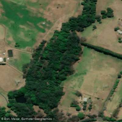
Wyong River
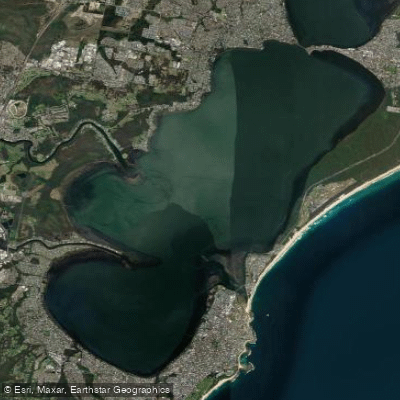
Tuggerah
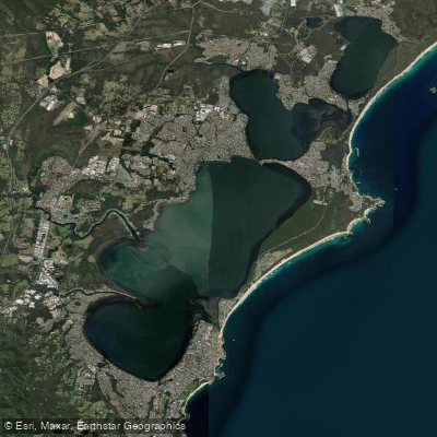
Tuggerah Lakes
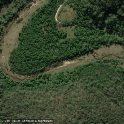
Mangrove Creek
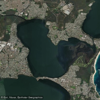
Budgewoi Lake
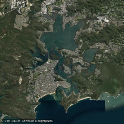
Brisbane Water
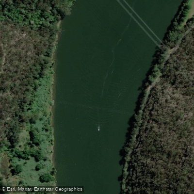
Hawkesbury River
Narara Creek
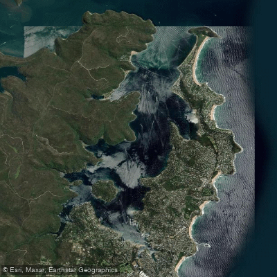
Pittwater
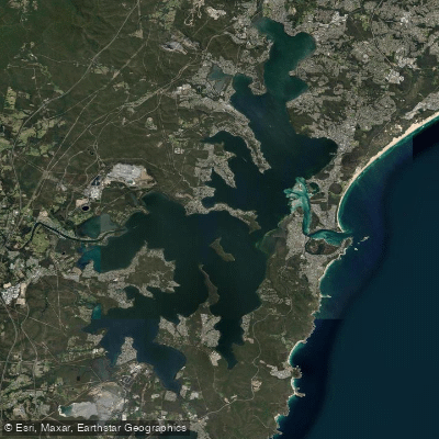
Lake Macquarie
Explore New South Wales waters
Top paddling waters
No waters available right now.
Popular Cities
Loading popular cities...
Explore near Colo River

Smarter Paddling Starts in the App.
Paddleways gives you everything you need to plan smarter, paddle better, and own every trip from first launch to takeout.