Cunglebung Creek
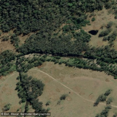
Cunglebung Creek
- Boat Ramps
- 0
- Access Points
- 0
- Campsites
- 0
Cunglebung Creek is most notable to paddlers as a landmark and portage point along Section 4 of the Clarence Canoe and Kayak Trail in New South Wales. The creek itself serves primarily as a bypass route around one of the section's most significant rapids: a two-stage Grade 4 drop where the Clarence River narrows across a 2-metre fall into a very turbulent, rocky, and aerated chute. Paddlers who choose not to run this rapid can follow the left-hand bank of the river until reaching Cunglebung Creek, then portage down the creek to rejoin the river below the drop. This portage is explicitly recommended for novice and intermediate paddlers.
The Cunglebung Creek stretch of the Clarence River, reached approximately 27 kilometres from Buccarumbi Bridge (roughly five to six hours of paddling), contains several Grade 2 rapids, races, and pools in the approach before the Grade 4 feature at the creek confluence itself. The surrounding landscape is characterised by steep hillsides and grazing cattle, with no visible human habitation in the immediate area.
Section 4 of the trail as a whole requires experienced canoeing or kayaking skills and a good level of fitness, with up to eight hours of paddling time anticipated. Progress is calculated at approximately 4 kilometres per hour, not accounting for rest breaks, scouting, or portaging. Beyond the Cunglebung Creek rapid, the following 6.5 kilometres to the Mann River junction are described as particularly scenic and include three Grade 3 rapids — "Exhibition Falls," "Demolition Derby," and "Tombstone" — as well as additional falls requiring portaging. All paddlers are advised to inspect Exhibition Falls and Tombstone before attempting them.
The broader Clarence River system, into which Cunglebung Creek flows, is situated roughly five hours south of Brisbane and is fed by the Orara, Nymboida, Boyd, Guy Fawkes, Henry, and Mann rivers, making it one of Australia's more significant whitewater environments. River flow conditions can vary considerably depending on rainfall, and recent drought periods have historically affected water levels throughout the region.
Water access, boat ramps & amenities
Learn how to get on Cunglebung Creek. Uncover great paddling access points, boat ramps, and all the facilities you need for an unforgettable day on the water. Some locations shown may border or include private property. Always check property boundaries and applicable regulations before visiting. PaddleWays's Public & Private Land layer can help you plan your access with confidence.
Paddle smarter with real-time insights
Whether you're en route and conditions shift or you're looking for the best spot based on current flows, we enable you to make informed decisions on the fly.








Find Places to Paddle

Over 400,000 Places to Paddle
Every user gets free access to launch points, boat ramps, and public property parcels.


Water and weather conditions (10 day forecast)
See the best times to paddle Cunglebung Creek and check the forecast before you go.
No forecast data available.
Paddling near Cunglebung Creek
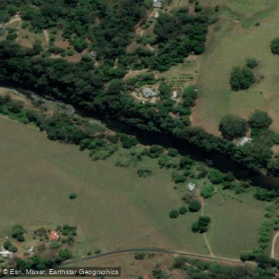
Bellinger River
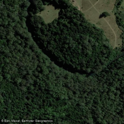
Bobo River
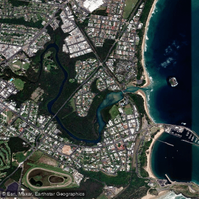
Coffs Harbour Creek
Kalang River
Little Nymboida River
Bonville
Bonville Creek
Pine Creek
Park Beach
Coffs Creek
Explore New South Wales waters
Top paddling waters
No waters available right now.
Popular Cities
Loading popular cities...
Explore near Cunglebung Creek

Smarter Paddling Starts in the App.
Paddleways gives you everything you need to plan smarter, paddle better, and own every trip from first launch to takeout.