Dunbogan Beach
- Saltwater
- Beach
Dunbogan Beach
- Saltwater
- Beach
- Sq. miles
- 1.2
- Boat Ramps
- 0
- Access Points
- 0
- Campsites
- 1
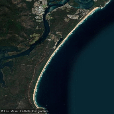
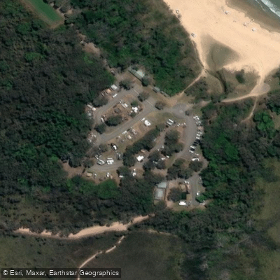
Dunbogan Beach is a long, undeveloped stretch of coastline extending for 9.3 kilometers between Camden Head and Diamond Head in New South Wales. The beach presents a straight shoreline with a natural foredune running its length. For paddlers launching from shore, the primary access point is a small car park at the end of Beach Street in Dunbogan, though it is suitable for only about half a dozen vehicles and has insufficient space for larger vans to turn around. The beach is pleasant and undeveloped, requiring a carry from the parking area to the water's edge. The ocean faces the Tasman Sea, and the beach receives waves averaging 1.6 meters in height, which maintain a continuous double bar system with frequent rips spaced every 300-400 meters along the inner bar. Permanent rips exist against both Camden Head and Diamond Head. This surf and rip structure constitutes a significant hazard, and there are no surf life saving services provided for this beach. The general hazard rating is 6 out of 10. The southern end of the beach, near Diamond Head, lies within Crowdy Bay National Park, and car access is possible at several picnic areas there, including Blackbutts, Cheese Tree, and Geebung, as well as at the Diamond Head Rest Area camping ground. With a beach permit and favorable tides, it is possible to drive a 4WD vehicle onto the beach itself for access. The scenic backdrop includes views across the crescent of the beach to North Brother Mountain. The area is noted for wildlife, including the potential to see resident dolphins in the nearby Camden Haven River, and migrating whales from the coast.
Water access, boat ramps & amenities
Learn how to get on Dunbogan Beach. Uncover great paddling access points, boat ramps, and all the facilities you need for an unforgettable day on the water. Some locations shown may border or include private property. Always check property boundaries and applicable regulations before visiting. PaddleWays's Public & Private Land layer can help you plan your access with confidence.
Paddle smarter with real-time insights
Whether you're en route and conditions shift or you're looking for the best spot based on current flows, we enable you to make informed decisions on the fly.








Find Places to Paddle

Over 400,000 Places to Paddle
Every user gets free access to launch points, boat ramps, and public property parcels.


Tides, wind & water conditions (10 day forecast)
On open water, wind and tide matter as much as the weather. See the best times to paddle Dunbogan Beach and check the marine forecast before you launch.
Loading tide predictions…
Paddling near Dunbogan Beach
Hastings River
Herons Creek
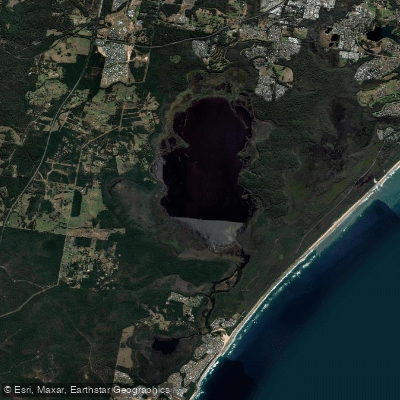
Lake Cathie/Innes
Camden Haven River
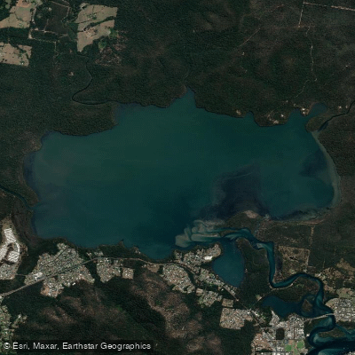
Queens Lake
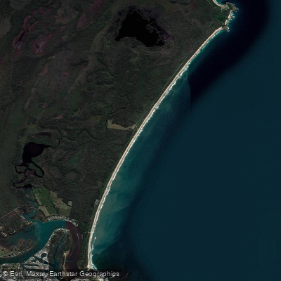
North Shore Beach
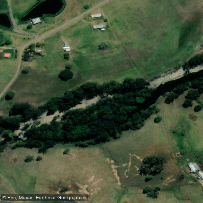
Wilson River
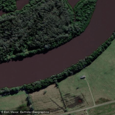
Maria River
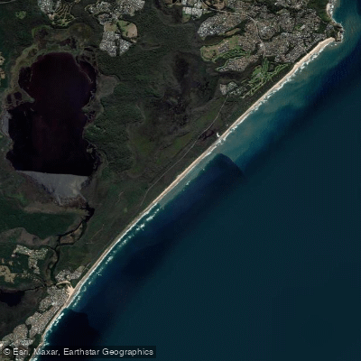
Lighthouse Beach
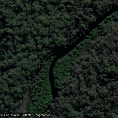
Limeburners Creek
Explore New South Wales waters
Top paddling waters
No waters available right now.
Popular Cities
Loading popular cities...
Explore near Dunbogan Beach
Access points
Nearby waters
More in New South Wales

Smarter Paddling Starts in the App.
Paddleways gives you everything you need to plan smarter, paddle better, and own every trip from first launch to takeout.