Ganguddy Creek
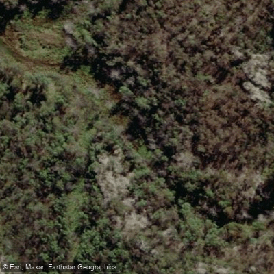
Ganguddy Creek
- Boat Ramps
- 0
- Access Points
- 0
- Campsites
- 0
Ganguddy, also known as Dunns Swamp, is a reservoir on the Cudgegong River within Wollemi National Park, approximately 260 km northwest of Sydney and around 30 km from both Rylstone and Kandos. The waterway was formed when a weir was constructed on the Cudgegong River in 1929 to supply water to the Kandos Cement Works downstream. The navigable length of the waterway is approximately 5 km, making it well-suited to half-day and full-day paddles. The surrounding landscape features sandstone escarpments, deep gorges, and pagoda rock formations, with cliff faces dropping up to 14 metres to the water or rocks below in places. The water is freshwater and reaches depths of around 14 metres in some areas.
Access to the water is via two sandy boat ramps at the Kookaburra and Platypus campsites within the Ganguddy-Dunns Swamp Campground. The campground is located off Dunns Swamp Access Road and is managed by NSW National Parks and Wildlife Service. The road into the campground is unsealed. Facilities at the campground include pit toilets (with disabled access), BBQs, picnic tables, and fire rings. Firewood is sometimes provided by NPWS but paddlers are advised to bring their own.
Power boats are permitted on the waterway, and a 4-knot speed limit applies throughout. Standard maritime laws and regulations are enforced. The boat ramp area is also used as a swimming site, so caution is warranted when launching and retrieving boats. Cliff edges around the waterway can be mossy and slippery, and snakes are present during summer months.
Wildlife in the area includes platypus, long-necked turtles, purple swamp hens, wallabies, kangaroos, eagles, and kingfishers. The creek is also home to golden perch, Murray cod, silver perch, catfish, trout cod, and river blackfish.
Kayak and stand-up paddleboard hire is available through Southern Cross Kayaking, which operates at the boat ramp on weekends and school holidays between September and April. Guided half-day tours are also offered during this period. The campground fills to capacity on weekends, so planning ahead is advisable. The area holds cultural significance for the Dabee People of the Wiradjuri Nation, from whom the name Ganguddy derives.
Water access, boat ramps & amenities
Learn how to get on Ganguddy Creek. Uncover great paddling access points, boat ramps, and all the facilities you need for an unforgettable day on the water. Some locations shown may border or include private property. Always check property boundaries and applicable regulations before visiting. PaddleWays's Public & Private Land layer can help you plan your access with confidence.
Paddle smarter with real-time insights
Whether you're en route and conditions shift or you're looking for the best spot based on current flows, we enable you to make informed decisions on the fly.








Find Places to Paddle

Over 400,000 Places to Paddle
Every user gets free access to launch points, boat ramps, and public property parcels.


Water and weather conditions (10 day forecast)
See the best times to paddle Ganguddy Creek and check the forecast before you go.
No forecast data available.
Paddling near Ganguddy Creek
Wyong River
Tuggerah
Tuggerah Lakes
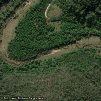
Mangrove Creek
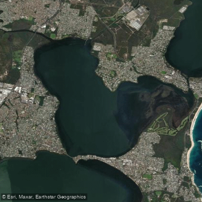
Budgewoi Lake
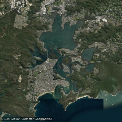
Brisbane Water
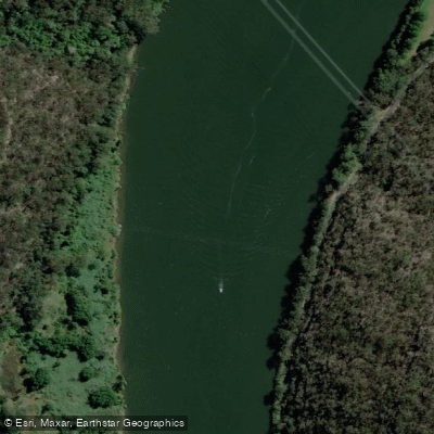
Hawkesbury River
Narara Creek
Pittwater
Lake Macquarie
Explore New South Wales waters
Top paddling waters
No waters available right now.
Popular Cities
Loading popular cities...
Explore near Ganguddy Creek

Smarter Paddling Starts in the App.
Paddleways gives you everything you need to plan smarter, paddle better, and own every trip from first launch to takeout.