Goobang Creek
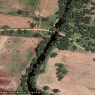
Goobang Creek
- Boat Ramps
- 0
- Access Points
- 0
- Campsites
- 0
Goobang Creek is a perennial stream located in the Central West region of New South Wales, Australia. It forms part of the Lachlan sub-catchment within the broader Murrumbidgee catchment of the Murray-Darling basin. The creek rises in the Curumbenya Range approximately 10 kilometres north of Wolabler Mountain, east of Alectown, at an elevation of 504 metres. From there it flows generally southwest toward Parkes, then continues generally west before reaching its confluence with the Lachlan River at Condobolin. The creek descends 312 metres over its 217-kilometre course and has five tributaries. Its name derives from an Aboriginal word for a species of acacia.
The Goobang Creek Weir at Condobolin serves as a notable access point and marks the end of the Waroo Bridge to Goobang Creek paddling section. The weir functions as Condobolin's water supply, and portage is required around it. Paddlers completing this section have the option of exiting at the weir or continuing through Condobolin to rejoin the Lachlan River just above the Condobolin weir, which is located behind the Riverview Caravan Park — portage is also required at that structure. Water access at the Condobolin weir site is off a sand bank. Road access to this point is via sealed roads, with the closest main roads being May Street and Weir Street in Condobolin.
The town of Condobolin provides full services and facilities for travellers, including accommodation of various types, BBQ areas, picnic tables, toilets, drinking water, campfire areas, boat fuel, and off-street parking. The Newell Highway crosses the creek near Parkes, which may be relevant for trip logistics in the upper reaches. The junction of Goobang Creek with Bumbuggan Creek is also noted as an access point in the broader Lachlan River paddling network, as is the Goobang Creek access point at Derriwong.
Water access, boat ramps & amenities
Learn how to get on Goobang Creek. Uncover great paddling access points, boat ramps, and all the facilities you need for an unforgettable day on the water. Some locations shown may border or include private property. Always check property boundaries and applicable regulations before visiting. PaddleWays's Public & Private Land layer can help you plan your access with confidence.
Paddle smarter with real-time insights
Whether you're en route and conditions shift or you're looking for the best spot based on current flows, we enable you to make informed decisions on the fly.








Find Places to Paddle

Over 400,000 Places to Paddle
Every user gets free access to launch points, boat ramps, and public property parcels.


Water and weather conditions (10 day forecast)
See the best times to paddle Goobang Creek and check the forecast before you go.
Lachlan River At Condobolin Bridge
All Flow Stations
Paddling near Goobang Creek
Macquarie River
Turon River
Lake Burrendong
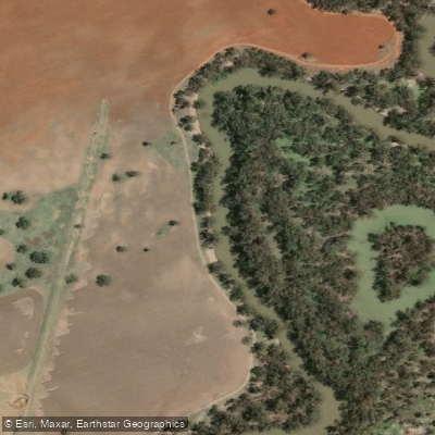
Lachlan River
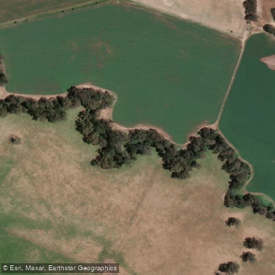
Cudgegong River
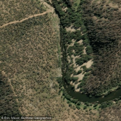
Abercrombie River
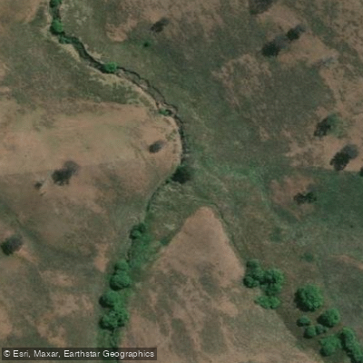
Browns Creek
Belubula River
Goobang Creek
Lake Wyangala
Explore New South Wales waters
Top paddling waters
No waters available right now.
Popular Cities
Loading popular cities...
Explore near Goobang Creek

Smarter Paddling Starts in the App.
Paddleways gives you everything you need to plan smarter, paddle better, and own every trip from first launch to takeout.