Jerusalem Creek
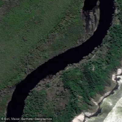
Jerusalem Creek
- Boat Ramps
- 0
- Access Points
- 0
- Campsites
- 0
Jerusalem Creek is a tidal creek within Bundjalung National Park on the New South Wales north coast, located near Esk (postcode 2472) in the Richmond Valley region. The creek flows through tea-tree and paperbark-lined banks before meeting the ocean at Ten Mile Beach. The paddle route covers 9 kilometres return and is rated Grade Easy, making it suitable for beginners and experienced paddlers alike.
The primary access point is a dedicated launching pontoon reached via a short track from a gravel car park at the end of The Gap Road. GPS coordinates for the start and finish point are 29°14'44.4″S 153°22'02.2″E. For those uncomfortable launching from the pontoon, a small track leads directly to the water's edge immediately to its left. Toilets are available at the nearby Mibanbah – Black Rocks campground, approximately 150 metres up the road from the pontoon car park in a northerly direction. Overnight camping is available at the campground, and national park entry and camping fees apply.
After launching, paddlers head to the right. The early section of the route is notable for the shapes of overhanging paperbark trees and their reflections on the water's surface. Other vegetation along the banks includes banksias, hakeas, grass trees, flannel flowers, cabbage tree palms, orchids, and the endemic swamp mint-bush. The creek supports birdlife throughout its length.
Tidal conditions are a significant planning consideration. The recommended launch time is 1.5 hours before high tide at Jerusalem Creek Entrance, as the tide will determine whether paddlers can reach the creek's junction with the ocean at Ten Mile Beach. If the tide does not permit paddling the full distance, a walking track along the south side of the creek provides an alternative route to the ocean. At the ocean end, coffee rock formations extend along the coast, and the endangered beach stone-curlew may be spotted in the area.
The route is described as offering a combination of accessibility and seclusion, situated well inside Bundjalung National Park. A one-way paddle-and-walk option is possible using the walking track. The drive from Ballina or Alstonville takes approximately one hour, primarily along The Gap Road, which is a 20-kilometre gravel road. Note that a management trail shown on some mapping applications leading south from Evans Head to The Gap Road is not open to the public.
Water access, boat ramps & amenities
Learn how to get on Jerusalem Creek. Uncover great paddling access points, boat ramps, and all the facilities you need for an unforgettable day on the water. Some locations shown may border or include private property. Always check property boundaries and applicable regulations before visiting. PaddleWays's Public & Private Land layer can help you plan your access with confidence.
Paddle smarter with real-time insights
Whether you're en route and conditions shift or you're looking for the best spot based on current flows, we enable you to make informed decisions on the fly.








Find Places to Paddle

Over 400,000 Places to Paddle
Every user gets free access to launch points, boat ramps, and public property parcels.


Water and weather conditions (10 day forecast)
See the best times to paddle Jerusalem Creek and check the forecast before you go.
No forecast data available.
Paddling near Jerusalem Creek
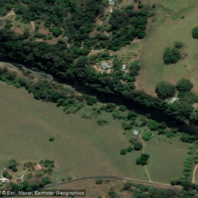
Bellinger River
Bobo River
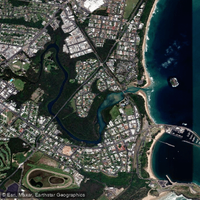
Coffs Harbour Creek
Kalang River
Little Nymboida River
Bonville
Bonville Creek
Pine Creek
Park Beach
Coffs Creek
Explore New South Wales waters
Top paddling waters
No waters available right now.
Popular Cities
Loading popular cities...
Explore near Jerusalem Creek

Smarter Paddling Starts in the App.
Paddleways gives you everything you need to plan smarter, paddle better, and own every trip from first launch to takeout.