Khappinghat Creek
- Saltwater
- Estuary
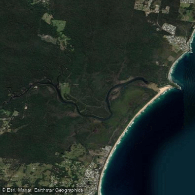
Khappinghat Creek
- Saltwater
- Estuary
- Sq. miles
- 1.1
- Boat Ramps
- 0
- Access Points
- 0
- Campsites
- 0
Khappinghat Creek is a coastal estuary located near Diamond Beach and the Saltwater National Park, approximately ten minutes from the towns of Taree and Forster. The waterway offers a flatwater kayaking and canoeing experience in a tranquil, estuary setting. The surrounding landscape features rainforest, mangroves, and salt flats, contributing to a peaceful atmosphere. The creek is situated at the northern end of the six-kilometre-long Diamond Beach, which is noted for surfing, indicating that ocean access may involve navigating a surf zone. The area is part of a broader study of southern estuaries, which includes systems like Wallis Lake and Myall Lakes. The creek's proximity to Diamond Beach and Saltwater Point suggests potential coastal access points. Paddlers should be aware of potential boat traffic, as a boat ramp is located in the broader council area. The estuarine nature means tidal currents will be a primary factor for trip planning, requiring coordination with tide stages to paddle with or against the flow. Water quality assessments have found no evidence of broadscale increases in acidity from local sources, though the waters are known to contain tannins, which can stain the water a dark colour but are a natural feature. The area is known for dolphin sightings off the adjacent beach. Facilities in the nearby Hallidays Point village include a shopping precinct, clubs, and restaurants.
Water access, boat ramps & amenities
Learn how to get on Khappinghat Creek. Uncover great paddling access points, boat ramps, and all the facilities you need for an unforgettable day on the water. Some locations shown may border or include private property. Always check property boundaries and applicable regulations before visiting. PaddleWays's Public & Private Land layer can help you plan your access with confidence.
Paddle smarter with real-time insights
Whether you're en route and conditions shift or you're looking for the best spot based on current flows, we enable you to make informed decisions on the fly.








Find Places to Paddle

Over 400,000 Places to Paddle
Every user gets free access to launch points, boat ramps, and public property parcels.


Tides, wind & water conditions (10 day forecast)
On open water, wind and tide matter as much as the weather. See the best times to paddle Khappinghat Creek and check the marine forecast before you launch.
Loading tide predictions…
Paddling near Khappinghat Creek
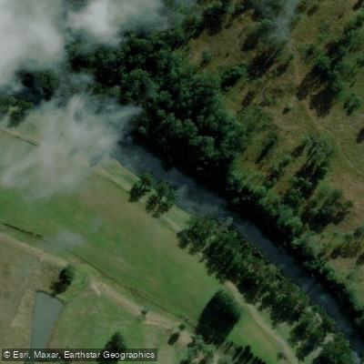
Hastings River
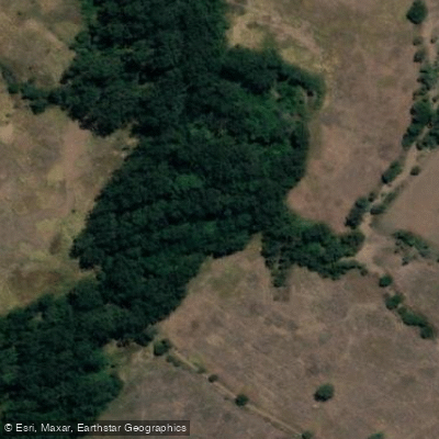
Herons Creek
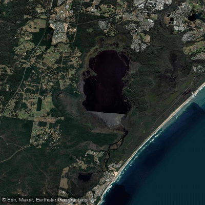
Lake Cathie/Innes
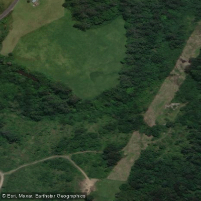
Camden Haven River
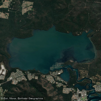
Queens Lake
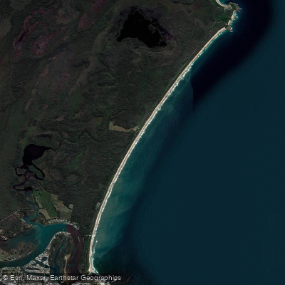
North Shore Beach
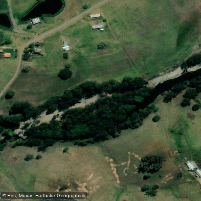
Wilson River
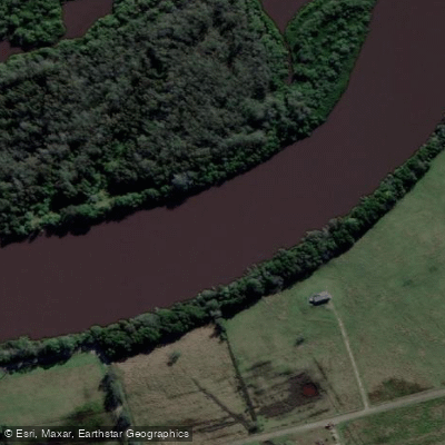
Maria River
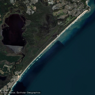
Lighthouse Beach
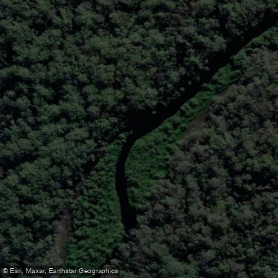
Limeburners Creek
Explore New South Wales waters
Top paddling waters
No waters available right now.
Popular Cities
Loading popular cities...
Explore near Khappinghat Creek

Smarter Paddling Starts in the App.
Paddleways gives you everything you need to plan smarter, paddle better, and own every trip from first launch to takeout.