Korogoro Creek
- Saltwater
- Estuary
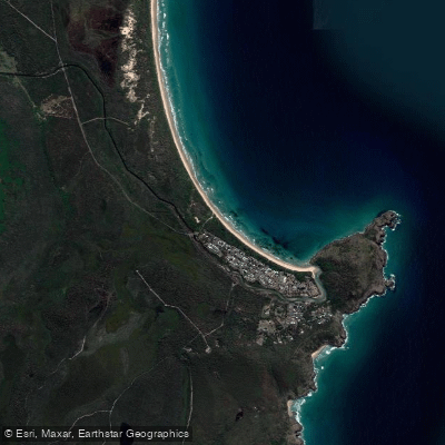
Korogoro Creek
- Saltwater
- Estuary
- Sq. miles
- 0.2
- Boat Ramps
- 0
- Access Points
- 0
- Campsites
- 0
Korogoro Creek is a coastal estuary located within Hat Head National Park on the Mid North Coast of New South Wales. The primary and most practical access point for paddlers is the Hat Head Boat Ramp, which sits directly on the creek approximately 80 metres upstream from its mouth. This concrete ramp provides a formal launch and retrieval point for kayaks, canoes, and paddleboards. The creek flows into the Tasman Sea, and paddlers should be aware that crossing the entrance channel may involve boat traffic from vessels using the same ramp. The estuary's character is heavily influenced by tides, and snorkeling is best just before high tide when the creek is full of marine life, indicating that water levels and current flow vary significantly throughout the tidal cycle. Paddlers must plan their trips around these tides, likely aiming to go upstream on a rising tide and returning with the ebb. The surrounding environment consists of beaches, sand dunes, wetlands, and rainforest, with the Korogoro walking track looping the headland on the eastern tip. The area is known for wildlife; while paddling, one might spot dolphins, turtles, and whales offshore, and the waters are home to a variety of fish species. The overall experience is therapeutic, with the creek offering a serene and natural setting bordered by national park. Canoeing, kayaking, and paddleboarding are permitted activities, but paddlers should always check if a permit is required for access within the national park boundaries.
Water access, boat ramps & amenities
Learn how to get on Korogoro Creek. Uncover great paddling access points, boat ramps, and all the facilities you need for an unforgettable day on the water. Some locations shown may border or include private property. Always check property boundaries and applicable regulations before visiting. PaddleWays's Public & Private Land layer can help you plan your access with confidence.
Paddle smarter with real-time insights
Whether you're en route and conditions shift or you're looking for the best spot based on current flows, we enable you to make informed decisions on the fly.








Find Places to Paddle

Over 400,000 Places to Paddle
Every user gets free access to launch points, boat ramps, and public property parcels.


Tides, wind & water conditions (10 day forecast)
On open water, wind and tide matter as much as the weather. See the best times to paddle Korogoro Creek and check the marine forecast before you launch.
Loading tide predictions…
Paddling near Korogoro Creek
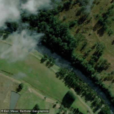
Hastings River
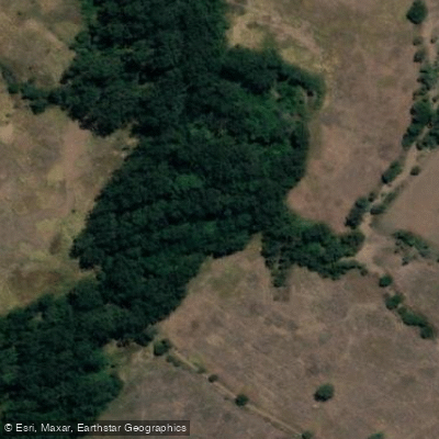
Herons Creek
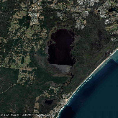
Lake Cathie/Innes
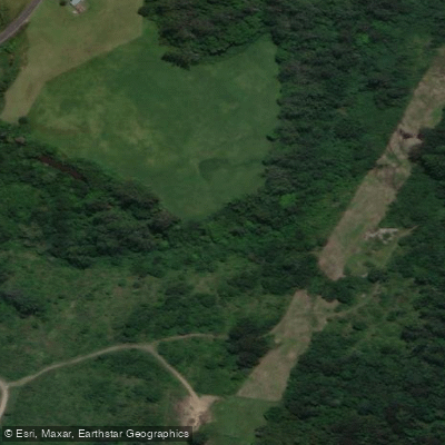
Camden Haven River
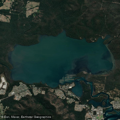
Queens Lake
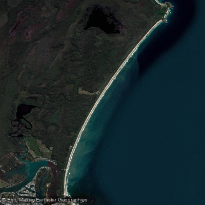
North Shore Beach
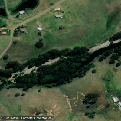
Wilson River
Maria River
Lighthouse Beach
Limeburners Creek
Explore New South Wales waters
Top paddling waters
No waters available right now.
Popular Cities
Loading popular cities...
Explore near Korogoro Creek

Smarter Paddling Starts in the App.
Paddleways gives you everything you need to plan smarter, paddle better, and own every trip from first launch to takeout.