Kylie's Beach
- Saltwater
- Beach
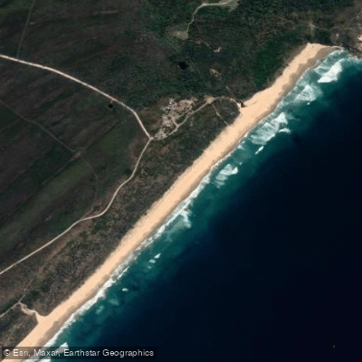
Kylie's Beach
- Saltwater
- Beach
- Sq. miles
- 0.2
- Boat Ramps
- 0
- Access Points
- 0
- Campsites
- 1
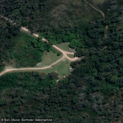
Kylie's Beach is a coastal beach located within Crowdy Bay National Park in the Mid-Coast Council region of New South Wales. It is a beautiful stretch of coastline named after the Australian author Kylie Tennant, who once lived and wrote in the area. The beach is characterized by gentle waves and soft sand, making it suitable for swimming and sunbathing. For paddlers, it serves as a potential launch point for coastal exploration. However, critical access information must be noted. The primary vehicle access point to the beach from Kylie's Beach Campground has been closed indefinitely due to significant and dangerous erosion. This closure is enforced by MidCoast Council and the National Parks and Wildlife Service, with signage in place. Paddlers must therefore plan to carry their craft from the campground or nearby parking areas, as driving onto the sand is prohibited at this specific access. The beach can also be reached on foot via the Diamond Head Loop walking track, which involves a forest trail and a crossing of Todea Creek before arriving at the sand.
The beach is situated within a national park, and camping is permitted in the area, including options for dispersed camping. This allows for multi-day paddling trips. A notable nearby destination for paddlers is the Natural Arch, reachable along the coast from Kylie's Beach. The overall paddling experience is one of a remote, natural coastline. Hazards include the significant erosion at the former vehicle access, which indicates a dynamic shoreline, and paddlers must be mindful of surf conditions, wind exposure, and tidal changes typical of open ocean beaches. There is no information on specific water quality issues, seasonal water temperatures, or dedicated paddling facilities. All activities are governed by National Parks regulations, and a permit is required for any remaining beach driving in the broader area, though not for launching paddlecraft by foot.
Water access, boat ramps & amenities
Learn how to get on Kylie's Beach. Uncover great paddling access points, boat ramps, and all the facilities you need for an unforgettable day on the water. Some locations shown may border or include private property. Always check property boundaries and applicable regulations before visiting. PaddleWays's Public & Private Land layer can help you plan your access with confidence.
Paddle smarter with real-time insights
Whether you're en route and conditions shift or you're looking for the best spot based on current flows, we enable you to make informed decisions on the fly.








Find Places to Paddle

Over 400,000 Places to Paddle
Every user gets free access to launch points, boat ramps, and public property parcels.


Tides, wind & water conditions (10 day forecast)
On open water, wind and tide matter as much as the weather. See the best times to paddle Kylie's Beach and check the marine forecast before you launch.
Loading tide predictions…
Paddling near Kylie's Beach
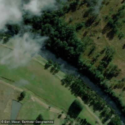
Hastings River
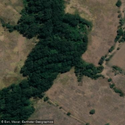
Herons Creek
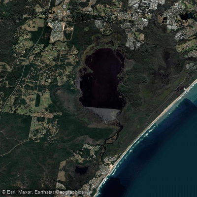
Lake Cathie/Innes
Camden Haven River
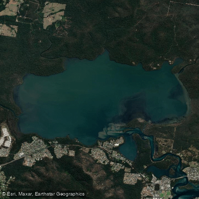
Queens Lake
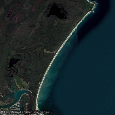
North Shore Beach
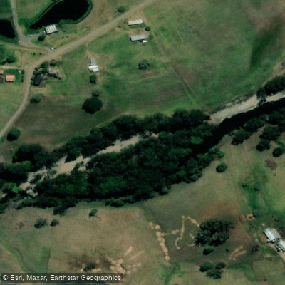
Wilson River
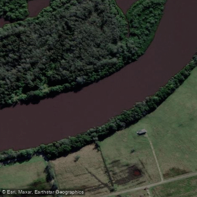
Maria River
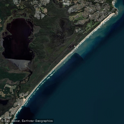
Lighthouse Beach
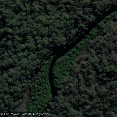
Limeburners Creek
Explore New South Wales waters
Top paddling waters
No waters available right now.
Popular Cities
Loading popular cities...
Explore near Kylie's Beach
Access points
Nearby waters
More in New South Wales

Smarter Paddling Starts in the App.
Paddleways gives you everything you need to plan smarter, paddle better, and own every trip from first launch to takeout.