Macleay River
- Saltwater
- Estuary
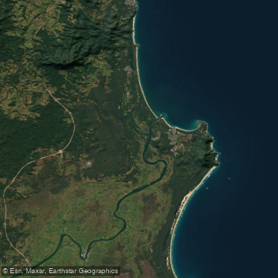
Macleay River
- Saltwater
- Estuary
- Sq. miles
- 14
- Boat Ramps
- 0
- Access Points
- 0
- Campsites
- 0
The Macleay River in Kempsey Shire Council, Australia, is a mature barrier-dominated estuary system. Its floodplain contains approximately 15% of NSW's total coastal floodplain wetlands, with significant areas of mangroves, seagrass, and saltmarsh. The estuary is broken into distinct process zones, with the marine flood tide zone extending from Jerseyville Bridge to the river mouth, indicating this lower section is dominated by tidal influences. For paddlers, key access points include the Jerseyville Boat Ramp, located adjacent to Rotary Park near the Jerseyville bridge, which has received upgrades including a floating pontoon. Another launch is at Stuarts Point Holiday Park, where kayaks can be hired. In Kempsey, paddlers can launch from Riverside Park, which features a multi-level timber wharf designed for access across the tide range. A common paddling route begins in Kempsey, proceeding through long pools and gentle rapids amidst pastoral scenery. The river is also used by the Kempsey Macleay Dragon Boat Club, indicating sections are suitable for group paddling. Wildlife sightings can include azure kingfishers, various waterfowl, turtles, carpet snakes, and in the estuarine sections, blue spotted lagoon rays, bream, and flathead. The river holds Aboriginal significance, with evidence of occupation for up to 4000 years, and is celebrated through community events like the Macleay River Festival. The entrance to the river is located at South West Rocks, a high-energy ocean wave setting historically serviced by a pilot boat, suggesting potential for strong tidal currents and wave action near the mouth.
Water access, boat ramps & amenities
Learn how to get on Macleay River. Uncover great paddling access points, boat ramps, and all the facilities you need for an unforgettable day on the water. Some locations shown may border or include private property. Always check property boundaries and applicable regulations before visiting. PaddleWays's Public & Private Land layer can help you plan your access with confidence.
Paddle smarter with real-time insights
Whether you're en route and conditions shift or you're looking for the best spot based on current flows, we enable you to make informed decisions on the fly.








Find Places to Paddle

Over 400,000 Places to Paddle
Every user gets free access to launch points, boat ramps, and public property parcels.


Tides, wind & water conditions (10 day forecast)
On open water, wind and tide matter as much as the weather. See the best times to paddle Macleay River and check the marine forecast before you launch.
Loading tide predictions…
Paddling near Macleay River
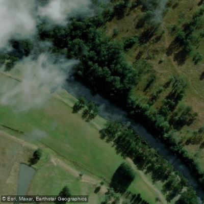
Hastings River
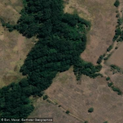
Herons Creek
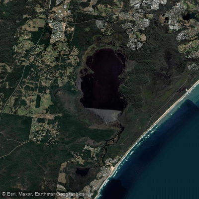
Lake Cathie/Innes
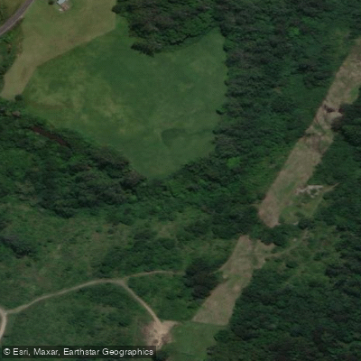
Camden Haven River
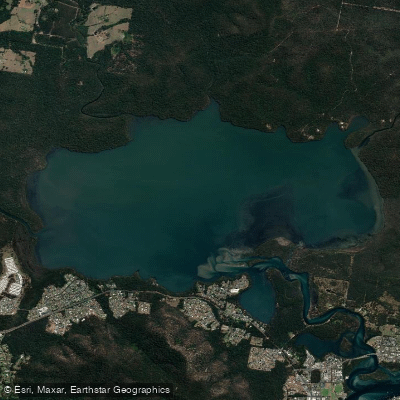
Queens Lake
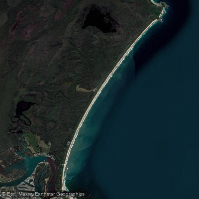
North Shore Beach
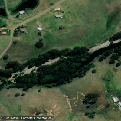
Wilson River
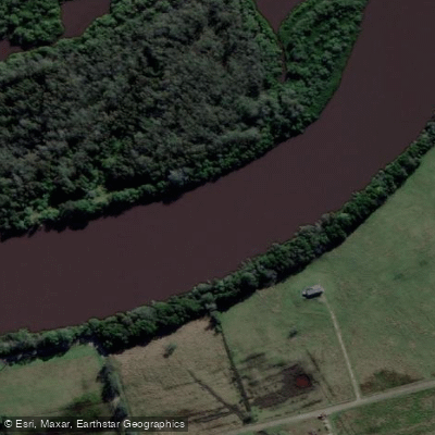
Maria River
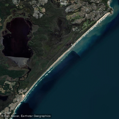
Lighthouse Beach
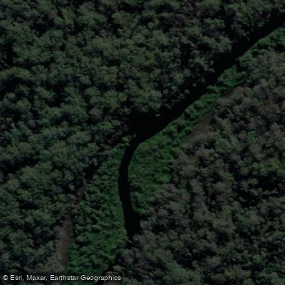
Limeburners Creek
Explore New South Wales waters
Top paddling waters
No waters available right now.
Popular Cities
Loading popular cities...
Explore near Macleay River

Smarter Paddling Starts in the App.
Paddleways gives you everything you need to plan smarter, paddle better, and own every trip from first launch to takeout.