Mann River
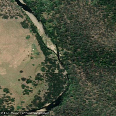
Mann River
- Boat Ramps
- 0
- Access Points
- 0
- Campsites
- 5
The Mann River is a whitewater river in northern New South Wales, located in the Clarence Valley region near Cangai and Jackadgery. It forms the middle stage of what is promoted as the longest whitewater trail in Australia — the Clarence Valley Canoe and Kayak Trail — and flows through remote sections of Nymboida National Park. The river is part of the broader Nymboida/Mann River system, regarded as one of Australia's premier freshwater paddling and fishing destinations.
The river carries a general grade of II, with sections reaching grade IV. The stretch from the Nymboida River Campground through to the Mann River Bridge at Jackadgery covers approximately 23 kilometres and is rated grade 3 with several grade 4 rapids where portages are strongly recommended. Four rapids in particular — Cunglebung Creek Falls (grade 4), Demolition Derby (grade 3+), Bridal Veil Falls (grade 4), and New Zealand Falls (grade 4) — are considered unsuitable for novice or intermediate paddlers. Portage routes exist for each: Cunglebung Creek Falls on river left via Cunglebung Creek, Demolition Derby on river left via a high-water channel, Bridal Veil Falls on river left, and New Zealand Falls on river right.
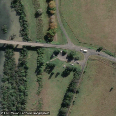
The put-in for the Nymboida-to-Jackadgery section is at Nymboida River Campground in Nymboida National Park, with 4WD access recommended. The take-out is at the Mann River Bridge at Jackadgery on the Gwydir Highway. A car shuttle of approximately 53 kilometres one way is required, taking around 1 hour and 20 minutes via T-Ridge Road, Ramornie Forest Road, and the Gwydir Highway, with 4WD recommended. There is no petrol available between Glen Innes and Jackadgery. The Mann River Caravan Park at Jackadgery offers facilities including a general store and petrol, and serves as a practical base for paddlers. Canoe hire is available at $60 per day, including PFDs, helmets, paddles, drums, and dry bags.
A longer multi-day route from the upper Mitchell River to Jackadgery covers 81 kilometres and is estimated at 20 to 30 hours of paddling spread over 4 to 6 days, depending on water levels. The gauge at Jackadgery is the reference point for water levels, with a minimum of 0.80 metres, a good level of 1.40 metres, and a maximum of 2.00 metres recommended for the lower section. This is an experienced paddlers' river; contacting local operators before attempting any section is strongly advised.
Water access, boat ramps & amenities
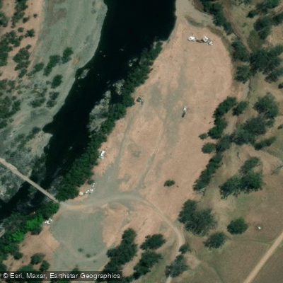
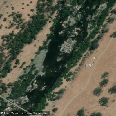
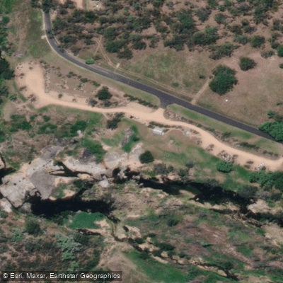
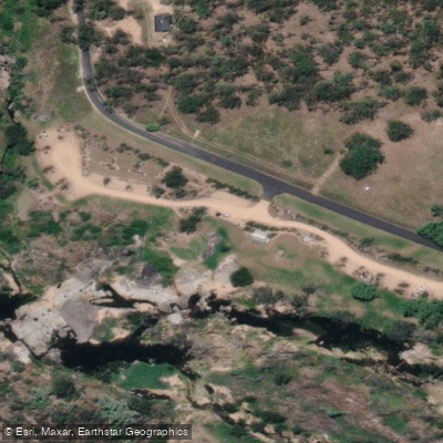
Learn how to get on Mann River. Uncover great paddling access points, boat ramps, and all the facilities you need for an unforgettable day on the water. Some locations shown may border or include private property. Always check property boundaries and applicable regulations before visiting. PaddleWays's Public & Private Land layer can help you plan your access with confidence.
Paddle smarter with real-time insights
Whether you're en route and conditions shift or you're looking for the best spot based on current flows, we enable you to make informed decisions on the fly.








Find Places to Paddle

Over 400,000 Places to Paddle
Every user gets free access to launch points, boat ramps, and public property parcels.


Water and weather conditions (10 day forecast)
See the best times to paddle Mann River and check the forecast before you go.
Mann River At Jackadgery
All Flow Stations
Paddling near Mann River
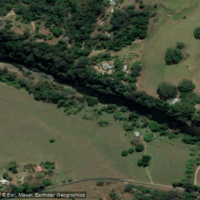
Bellinger River
Bobo River
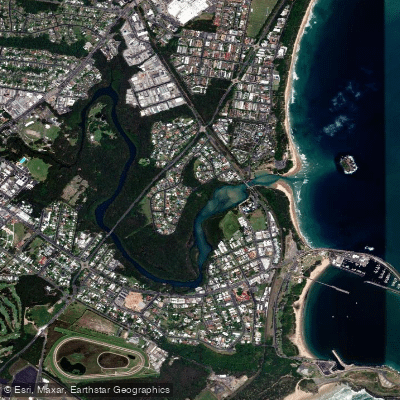
Coffs Harbour Creek
Kalang River
Little Nymboida River
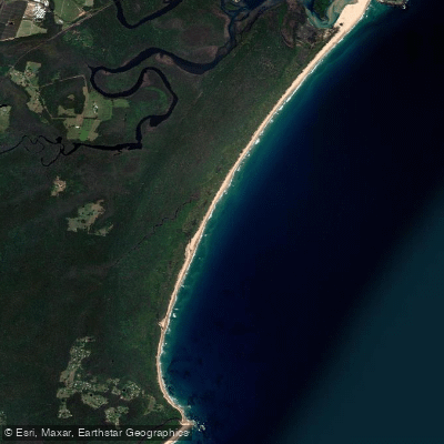
Bonville
Bonville Creek
Pine Creek
Park Beach
Coffs Creek
Explore New South Wales waters
Top paddling waters
No waters available right now.
Popular Cities
Loading popular cities...
Explore near Mann River
Access points
Nearby waters
More in New South Wales

Smarter Paddling Starts in the App.
Paddleways gives you everything you need to plan smarter, paddle better, and own every trip from first launch to takeout.