Manning River
- Saltwater
- Estuary
Manning River
- Saltwater
- Estuary
- Sq. miles
- 45
- Boat Ramps
- 3
- Access Points
- 0
- Campsites
- 1
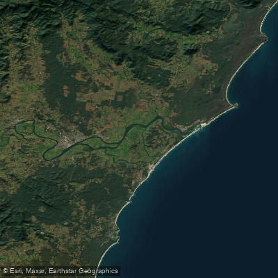
The Manning River is a large coastal estuary system on the Mid North Coast of New South Wales, notable for being the only double delta river system in the southern hemisphere. It has two openings to the Pacific Ocean: the main mouth at Harrington and a second opening at Old Bar. The river descends from the Barrington Tops hinterland, with the lower section dividing into several channels that create large islands like Mitchells and Oxley Islands. For paddlers, this geography means a variety of sheltered channels and more open, wind-affected areas near the ocean mouths. The river is a hub for recreational boating, with events like the Taree Summer Regatta attracting significant boat traffic. Paddlers should anticipate sharing the water with powered vessels, particularly around towns and during events.
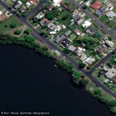
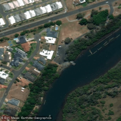
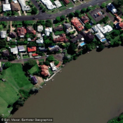
Several formal boat ramps serve as key access points. In Taree, the Manning Waters Reserve boat ramp on West End Avenue and the two-lane concrete ramp at Andrews Reserve provide direct launches into the river. Upgraded facilities are also available at Bohnock and Manning Point, which include extended ramps and new pontoons to aid launching and retrieval. These improvements indicate these are busy, well-used sites, especially during the summer holiday period. Paddling conditions are heavily influenced by tides and wind. As a tidal estuary, planning around the tide cycle is essential for managing currents, particularly when paddling near the ocean entrances at Harrington and Old Bar. These areas will also have exposure to ocean swell and wind fetch, potentially creating choppy conditions or a surf zone at the river mouths themselves.
The environment offers scenic journeys from the mountains to the sea, with crystal-clear waters in its upper reaches. Riverside parks, wharves, and pontoons are scattered along the banks, and the increasing number of public access points suggests good opportunities for designing trips. The area has ecological and cultural significance, with interpretive signage planned for sites like the Pelican Boardwalk in Forster, which highlights the values of the waterways. Wildlife sightings, such as pelicans and dolphins, are part of the experience, particularly in the estuarine sections. The overall character is that of a major, multi-use waterway catering to holiday-makers, locals, and commercial users, offering paddlers a mix of natural scenery and developed facilities.
Water access, boat ramps & amenities
Learn how to get on Manning River. Uncover great paddling access points, boat ramps, and all the facilities you need for an unforgettable day on the water. Some locations shown may border or include private property. Always check property boundaries and applicable regulations before visiting. PaddleWays's Public & Private Land layer can help you plan your access with confidence.
Paddle smarter with real-time insights
Whether you're en route and conditions shift or you're looking for the best spot based on current flows, we enable you to make informed decisions on the fly.








Find Places to Paddle

Over 400,000 Places to Paddle
Every user gets free access to launch points, boat ramps, and public property parcels.


Tides, wind & water conditions (10 day forecast)
On open water, wind and tide matter as much as the weather. See the best times to paddle Manning River and check the marine forecast before you launch.
Loading tide predictions…
Paddling near Manning River
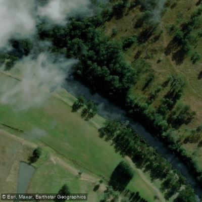
Hastings River
Herons Creek
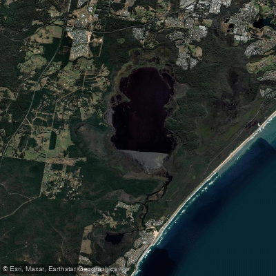
Lake Cathie/Innes
Camden Haven River
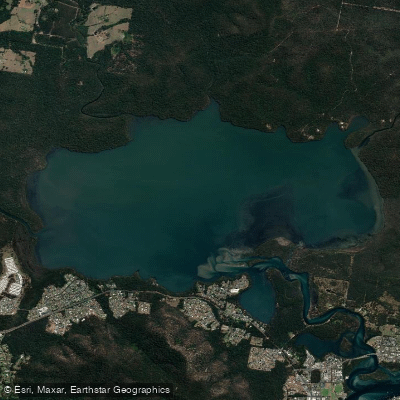
Queens Lake
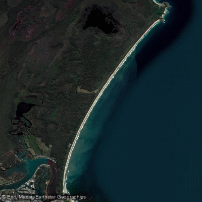
North Shore Beach
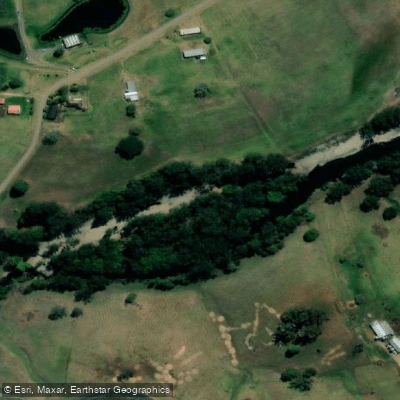
Wilson River
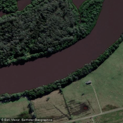
Maria River
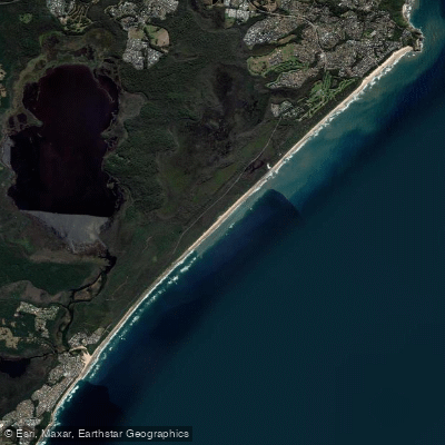
Lighthouse Beach
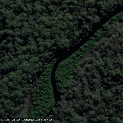
Limeburners Creek
Explore New South Wales waters
Top paddling waters
No waters available right now.
Popular Cities
Loading popular cities...
Explore near Manning River
Access points
Nearby waters
More in New South Wales

Smarter Paddling Starts in the App.
Paddleways gives you everything you need to plan smarter, paddle better, and own every trip from first launch to takeout.