Maria River
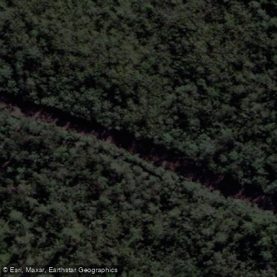
Maria River
- Boat Ramps
- 0
- Access Points
- 0
- Campsites
- 0
The Maria River is located just north of Port Macquarie in New South Wales, Australia, where it connects with the Wilson River system. The river is characterized by winding, meditative stretches flanked by tall timber, with sections running parallel to Maria River Road. Parts of the surrounding land fall within the Maria River National Park. The area also includes tea tree plantations and at least one gin distillery along the banks, features that are not immediately visible from the water due to the tree-lined banks.
A common access point is Hacks Ferry, from which paddlers can head upstream to where the Maria joins the Wilson River, then veer right to follow the Maria. The river features several anabranches, including the Torrens anabranch, the Maria anabranch, and Cooperabung Creek, which offer route variations. These anabranches can be subject to blockages from fallen timber and debris, which is an important consideration when planning a route. Paddlers should be prepared to scout or turn back if an anabranch is impassable, as conditions can change. A loop route incorporating the Maria anabranch for the return leg has been recorded at approximately 15 kilometres.
The river sees little motorised boat traffic in the upper reaches, making it well suited to kayaking. Wildlife along the river includes white-bellied sea eagles and azure kingfishers, both of which have been observed by paddlers on this stretch. The area experiences mild winters, and paddling is undertaken year-round by local clubs. The Port Macquarie Hastings Canoe Club regularly paddles this river, suggesting it is accessible to recreational paddlers with appropriate local knowledge, particularly regarding anabranch conditions.
Water access, boat ramps & amenities
Learn how to get on Maria River. Uncover great paddling access points, boat ramps, and all the facilities you need for an unforgettable day on the water. Some locations shown may border or include private property. Always check property boundaries and applicable regulations before visiting. PaddleWays's Public & Private Land layer can help you plan your access with confidence.
Paddle smarter with real-time insights
Whether you're en route and conditions shift or you're looking for the best spot based on current flows, we enable you to make informed decisions on the fly.








Find Places to Paddle

Over 400,000 Places to Paddle
Every user gets free access to launch points, boat ramps, and public property parcels.


Water and weather conditions (10 day forecast)
See the best times to paddle Maria River and check the forecast before you go.
No forecast data available.
Paddling near Maria River
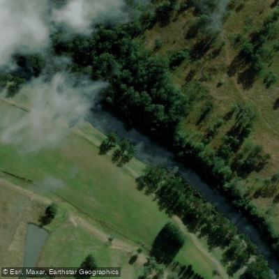
Hastings River
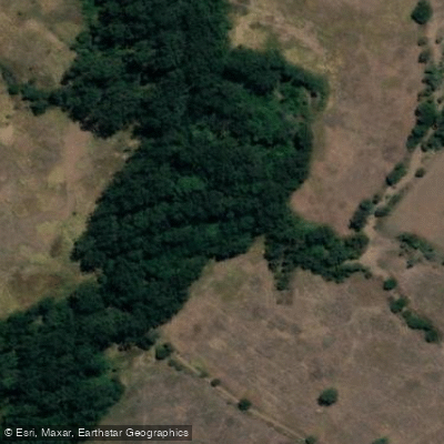
Herons Creek
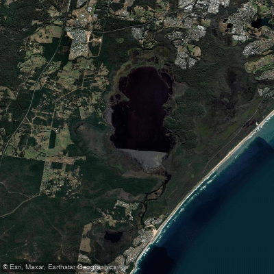
Lake Cathie/Innes
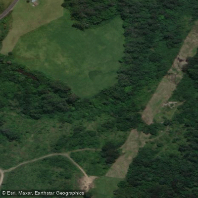
Camden Haven River
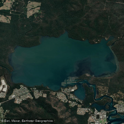
Queens Lake
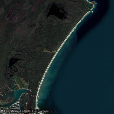
North Shore Beach
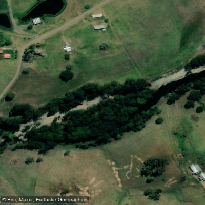
Wilson River
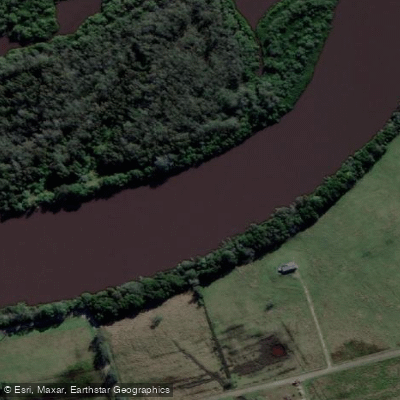
Maria River
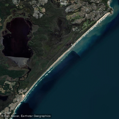
Lighthouse Beach
Limeburners Creek
Explore New South Wales waters
Top paddling waters
No waters available right now.
Popular Cities
Loading popular cities...
Explore near Maria River

Smarter Paddling Starts in the App.
Paddleways gives you everything you need to plan smarter, paddle better, and own every trip from first launch to takeout.