Mill Creek
Mill Creek
- Boat Ramps
- 0
- Access Points
- 0
- Campsites
- 0
Mill Creek is a tidal creek that flows into the Georges River, located within the Georges River National Park in the Sydney region of New South Wales. The creek is navigable by paddle craft, with paddlers typically accessing it from the Georges River and heading upstream.
The lower reaches of Mill Creek are lined with mangroves, and the creek is notably shallow in places. Tidal conditions are a significant practical consideration — paddling is best timed around high tide, as low tide exposes sand and can leave paddlers stranded in the upper sections. On a typical trip, paddlers can travel approximately 3 km upstream from the junction with the Georges River before turning back.
Further upstream, roughly 250 metres beyond the practical paddling limit, a road crossing is marked on topographic maps near Heathcote Road. The eastern bank in this area features old large-diameter concrete pipes stored on the bank, remnants of an unfinished culvert project. The western side of the creek in this vicinity is described as nearly vertical terrain, which effectively marks the end of navigable water.
The Georges River itself, at the confluence with Mill Creek, can be busy with jet skis and motorboats, which adds noise and boat traffic to the experience, particularly later in the day. Nearby features of interest include Yeramda Lagoon, located opposite the headland known as Parkesvale, a former pleasure ground on the river. Other short paddle options in the same area include Deadmans Creek and Williams Creek, with Deadmans Creek accessible above the Heathcote Road bridge on a high tide.
Water access, boat ramps & amenities
Learn how to get on Mill Creek. Uncover great paddling access points, boat ramps, and all the facilities you need for an unforgettable day on the water. Some locations shown may border or include private property. Always check property boundaries and applicable regulations before visiting. PaddleWays's Public & Private Land layer can help you plan your access with confidence.
Paddle smarter with real-time insights
Whether you're en route and conditions shift or you're looking for the best spot based on current flows, we enable you to make informed decisions on the fly.








Find Places to Paddle

Over 400,000 Places to Paddle
Every user gets free access to launch points, boat ramps, and public property parcels.


Water and weather conditions (10 day forecast)
See the best times to paddle Mill Creek and check the forecast before you go.
No forecast data available.
Paddling near Mill Creek
Wyong River
Tuggerah
Tuggerah Lakes
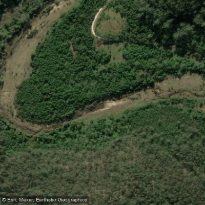
Mangrove Creek
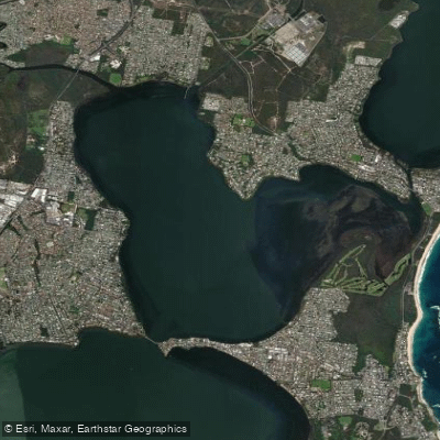
Budgewoi Lake
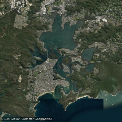
Brisbane Water
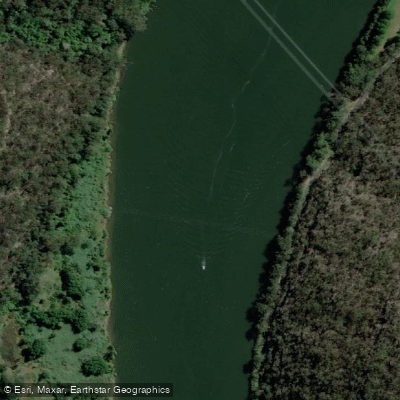
Hawkesbury River
Narara Creek
Pittwater
Lake Macquarie
Explore New South Wales waters
Top paddling waters
No waters available right now.
Popular Cities
Loading popular cities...
Explore near Mill Creek

Smarter Paddling Starts in the App.
Paddleways gives you everything you need to plan smarter, paddle better, and own every trip from first launch to takeout.