Murray River
Murray River
- Boat Ramps
- 0
- Access Points
- 0
- Campsites
- 0
The Murray River stretches approximately 2,520 kilometres from the Australian Alps to the Southern Ocean, forming the natural border between New South Wales and Victoria before entering South Australia and turning southward for its final 500 kilometres to the sea. As part of the Murray-Darling Basin — the fourth longest river system in the world — it drains a catchment that is largely arid or semi-arid, receiving an average annual rainfall of just 425 mm across the basin. The river ultimately empties into Lake Alexandrina and the Coorong wetlands before reaching the coast.
The character of the river varies considerably along its length. The upper reaches near the Australian Alps involve more challenging terrain, while the lower sections — particularly around Wentworth and through South Australia — are free from rapids and well-suited to beginners. The river is flanked by ochre-coloured cliffs at locations such as Big Bend, and passes through flooded red gum forests at Barmah, backwater lagoons, and extensive wetlands. Birdlife is abundant throughout, and the Gunbower Island area offers opportunities to spot native species. The Murbko Loop Trail, accessible off the main river channel, passes through two lagoons with notable birdlife and involves two portages of approximately 250 metres each.
Key access points and hire operations are concentrated around Albury-Wodonga in the upper-mid section, where canoe and kayak hire services have operated since the early 1990s. Further downstream, the Lower Murray Canoe Trail runs from Tailem Bend toward Wellington and is divided into four sections designed for varying skill and fitness levels. The Pomanda Point loop departs from Wellington and enters Lake Alexandrina.
Water levels are an important safety consideration. Optimal paddling levels on the Murray River are between 1.4 and 2.4 metres; below 1.2 metres the river becomes too shallow, and above 2.7 metres conditions are considered dangerous. Paddlers are advised to check current levels and flow rates before setting out. September is noted as a good time to begin paddling the river. Maps are available as PDFs and through the NPWS app, which provides GPS-enabled navigation for designated canoe trails.
Water access, boat ramps & amenities
Learn how to get on Murray River. Uncover great paddling access points, boat ramps, and all the facilities you need for an unforgettable day on the water. Some locations shown may border or include private property. Always check property boundaries and applicable regulations before visiting. PaddleWays's Public & Private Land layer can help you plan your access with confidence.
Paddle smarter with real-time insights
Whether you're en route and conditions shift or you're looking for the best spot based on current flows, we enable you to make informed decisions on the fly.








Find Places to Paddle

Over 400,000 Places to Paddle
Every user gets free access to launch points, boat ramps, and public property parcels.


Water and weather conditions (10 day forecast)
See the best times to paddle Murray River and check the forecast before you go.
Hume Dam Storage
Paddling near Murray River
Murray River
Kiewa River
Lake Hume
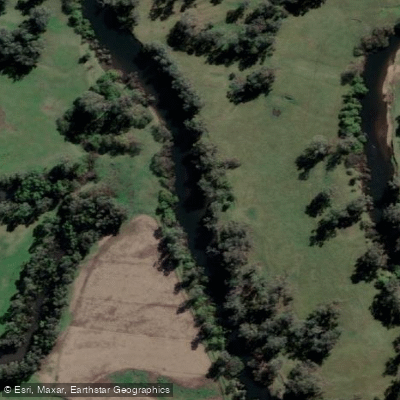
Mitta Mitta River
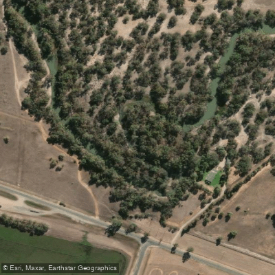
Billabong Creek
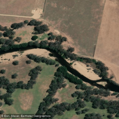
Ovens River
Buffalo Creek
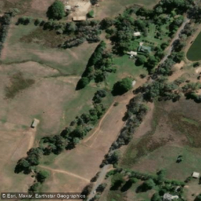
Back Creek
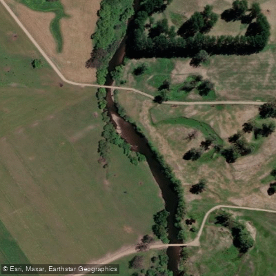
Murray River
Explore New South Wales waters
Top paddling waters
No waters available right now.
Popular Cities
Loading popular cities...
Explore near Murray River
Nearby waters
More in New South Wales

Smarter Paddling Starts in the App.
Paddleways gives you everything you need to plan smarter, paddle better, and own every trip from first launch to takeout.