Mitta Mitta River
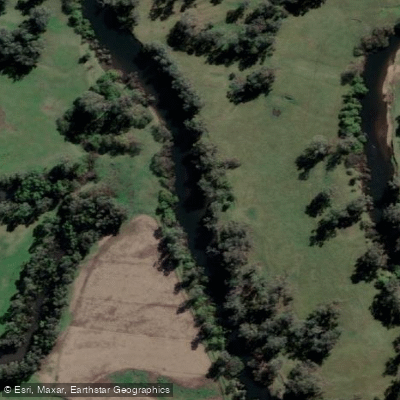
Mitta Mitta River
- Boat Ramps
- 0
- Access Points
- 0
- Campsites
- 4
The Mitta Mitta River runs through the alpine district of northeastern Victoria, Australia, carving through the heart of the Alpine National Park for approximately 204 kilometres. It originates in the Victorian Alps below Mount Bogong and flows into Lake Hume (the Murray River) east of Albury. The river's name derives from an Aboriginal term, mida-modoenga, referring to a type of reed called modunga.
The upper Mitta Mitta and its tributaries are fed by snowmelt from the Bogong high plains, making the primary paddling season August through November. The river receives flows from the Bundara, Cobungra, and Big Rivers as it snakes through the Omeo Valley toward Lake Dartmouth. Water can be very cold during winter months due to snowmelt input.
For whitewater paddlers, the most commonly run section extends from Big River Bridge (or the Big River camping area) to Hinnomunjie Bridge, typically completed as a two-day trip with an overnight camp near the Bundara River confluence. Additional launch points include Middle Creek picnic area and Bundara picnic area. Rapids increase in intensity as the run progresses, culminating in a waterfall near the takeout. A gauge reading around 0.95 at Hinnomunjie is considered a good level for this section; readings below 0.57 are possible but marginal, while 0.9 to 1.2 is generally considered suitable. The upper sections require more water than the lower reach.
The lower Mitta Mitta, below Lake Banimboola Dam (9 km downstream of Dartmouth Dam), offers a different character, with water releases from Dartmouth Dam generating rapids including Sharks Tooth, a grade four rapid that warrants scouting. Guided commercial rafting operations run this section.
The upper river is used extensively by school groups and outdoor education providers, and the area has strong links with outdoor education institutions. The surrounding Alpine National Park offers camping along the river corridor, and the region has historical significance tied to gold mining at Omeo and the Mount Wills Historic Area. Parks Victoria lists several licensed tour operators for those seeking guided trips. Mobile phone coverage is limited or absent in many sections, and paddlers are advised to check river levels and weather conditions with the Bureau of Meteorology before departure and to leave a detailed itinerary with a responsible person.
Water access, boat ramps & amenities
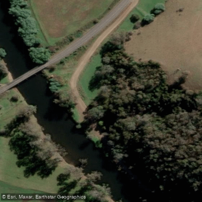
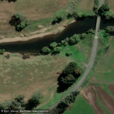
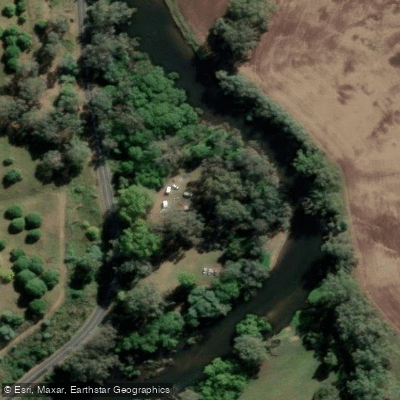
Learn how to get on Mitta Mitta River. Uncover great paddling access points, boat ramps, and all the facilities you need for an unforgettable day on the water. Some locations shown may border or include private property. Always check property boundaries and applicable regulations before visiting. PaddleWays's Public & Private Land layer can help you plan your access with confidence.
Paddle smarter with real-time insights
Whether you're en route and conditions shift or you're looking for the best spot based on current flows, we enable you to make informed decisions on the fly.








Find Places to Paddle

Over 400,000 Places to Paddle
Every user gets free access to launch points, boat ramps, and public property parcels.


Water and weather conditions (10 day forecast)
See the best times to paddle Mitta Mitta River and check the forecast before you go.
Mitta Mitta River @ Tallandoon
All Flow Stations
Paddling near Mitta Mitta River
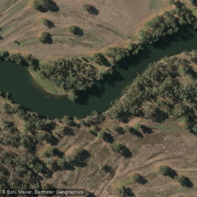
Murray River
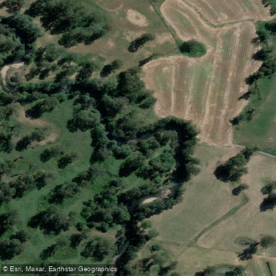
Kiewa River
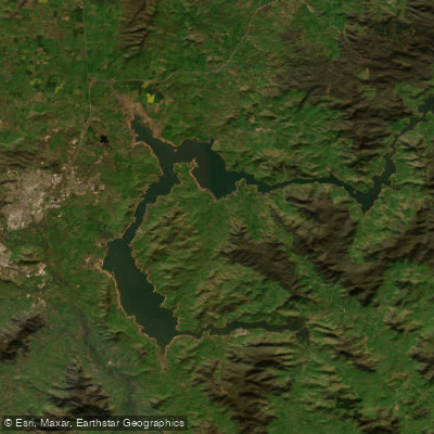
Lake Hume
Billabong Creek
Ovens River
Buffalo Creek
Murray River
Back Creek
Murray River
Explore Victoria waters
Top paddling waters
No waters available right now.
Popular Cities
Loading popular cities...
Explore near Mitta Mitta River

Smarter Paddling Starts in the App.
Paddleways gives you everything you need to plan smarter, paddle better, and own every trip from first launch to takeout.