Kiewa River
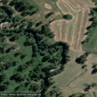
Kiewa River
- Boat Ramps
- 0
- Access Points
- 0
- Campsites
- 3
The Kiewa River is a perennial river in the Alpine bioregion of Victoria, Australia, forming part of the Murray catchment within the Murray-Darling Basin. Its name derives from an Aboriginal phrase meaning "sweet water." The river originates in two distinct branches — the East and West Kiewa — rising in the alpine landscapes of the Great Dividing Range southeast of Mt Bogong, Victoria's highest mountain. The western branch rises near Mount Hotham and flows northward through a steep forested valley, largely unregulated. The eastern branch originates above Falls Creek, with its upper reach impounded by the Rocky Valley storage, and passes through a series of pondages, tunnels, and aqueducts associated with Victoria's largest hydro-electric scheme before joining the west branch north of Mount Beauty. From Mount Beauty, the river flows north through a progressively widening agricultural valley before eventually merging with the Murray River between Albury-Wodonga and Lake Hume.
Both the East and West branches of the Kiewa provide whitewater paddling opportunities for Victorian kayakers. Spring, during the snow melt period, is the most reliable time to paddle, when water levels are highest. The river can carry fast currents, which is worth factoring into trip planning. A documented canoe route runs from Mount Beauty to Tawonga on the lower section of the river, and paddlers on this stretch have noted the need to clear fallen logs along the way, suggesting that strainers and woody debris are a recurring hazard that requires attention.
The river flows over a rocky riverbed with clear water, and the surrounding landscape includes views of Mt Bogong and forested mountain terrain in the upper reaches, transitioning to cleared agricultural valley in the lower sections. Remnant stands of native vegetation are found along much of the valley corridor. The river also supports populations of wild brown trout, rainbow trout, and Murray cod, making it a popular fishing destination that paddlers are likely to share with anglers, particularly in the upper reaches.
A caravan park is located near the west branch at Mt Beauty, and the Mt Beauty township provides access to food, drinks, and other amenities within a short distance of the river. The Mt Beauty Pondage picnic area offers parking, drinking water, and toilet facilities nearby.
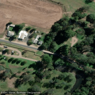
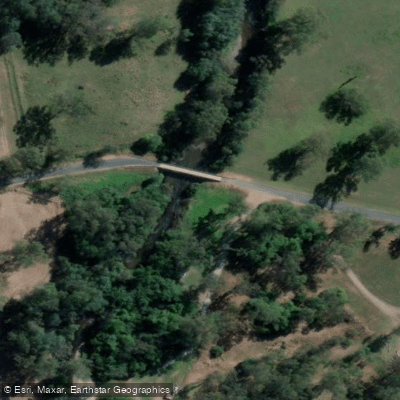
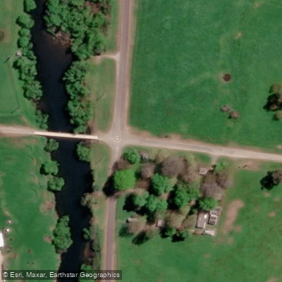
Water access, boat ramps & amenities
Learn how to get on Kiewa River. Uncover great paddling access points, boat ramps, and all the facilities you need for an unforgettable day on the water. Some locations shown may border or include private property. Always check property boundaries and applicable regulations before visiting. PaddleWays's Public & Private Land layer can help you plan your access with confidence.
Paddle smarter with real-time insights
Whether you're en route and conditions shift or you're looking for the best spot based on current flows, we enable you to make informed decisions on the fly.








Find Places to Paddle

Over 400,000 Places to Paddle
Every user gets free access to launch points, boat ramps, and public property parcels.


Water and weather conditions (10 day forecast)
See the best times to paddle Kiewa River and check the forecast before you go.
Kiewa River @ Mongans Bridge
All Flow Stations
Paddling near Kiewa River
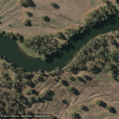
Murray River
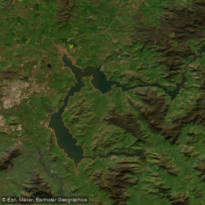
Lake Hume
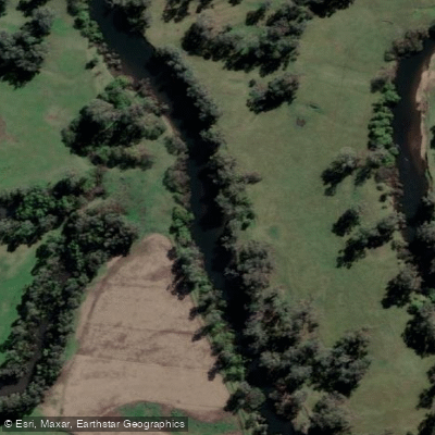
Mitta Mitta River
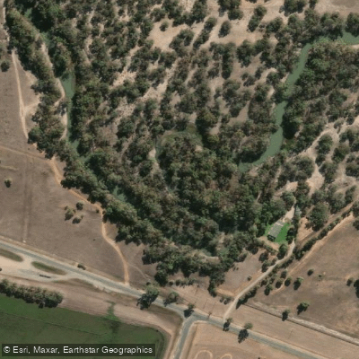
Billabong Creek
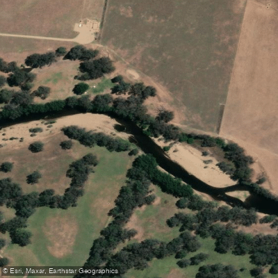
Ovens River
Buffalo Creek
Murray River
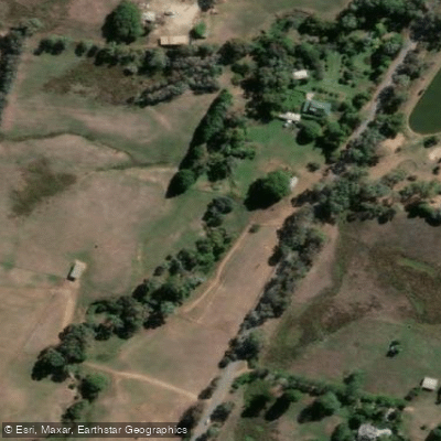
Back Creek
Murray River
Explore Victoria waters
Top paddling waters
No waters available right now.
Popular Cities
Loading popular cities...
Explore near Kiewa River

Smarter Paddling Starts in the App.
Paddleways gives you everything you need to plan smarter, paddle better, and own every trip from first launch to takeout.